Location State: Latvia Region: Kurzeme County: Ventspils Parish: Ance Other references to the location 
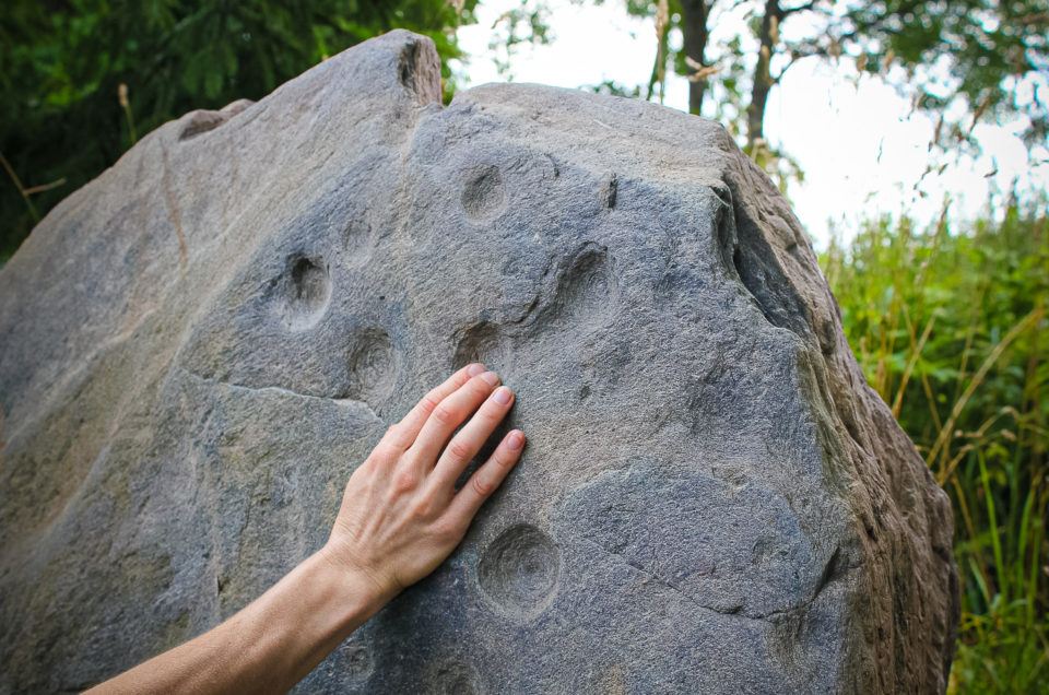
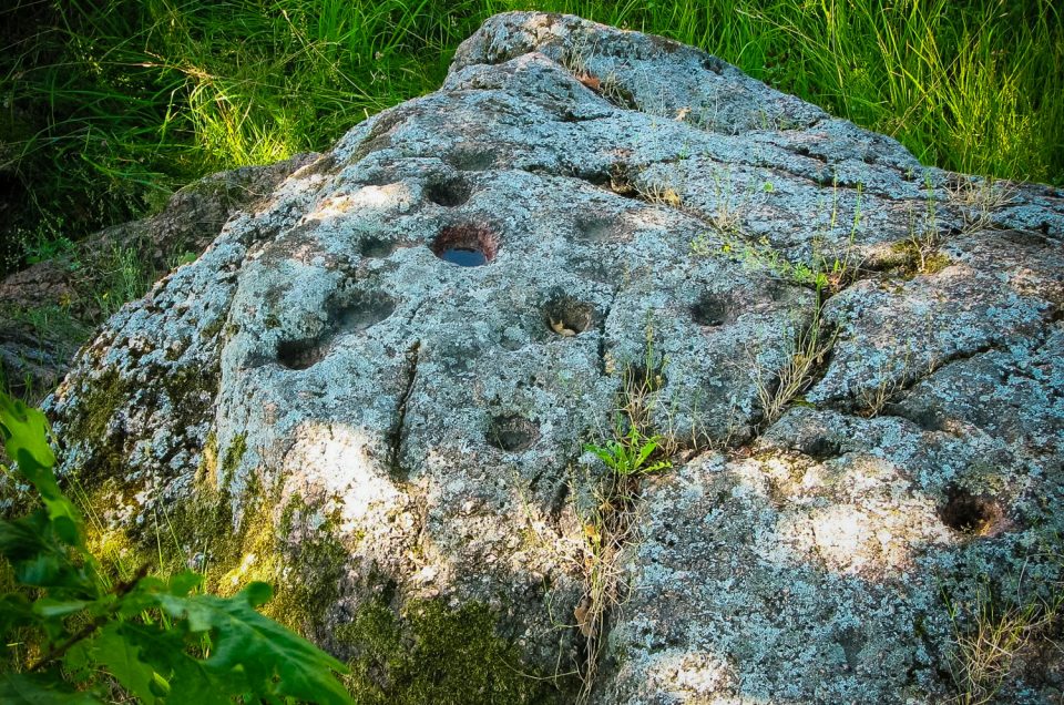
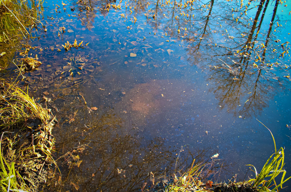
In the bed of the old Stende River, at its meander, 50 m W from the Teikas homestead. The stone is situated right on the riverbank, […]
Location State: Latvia Region: Vidzeme County: Priekuļi Parish: Veselava Other references to the location The Kalna Silabuli and Lejas Silabuli homesteads Coordinates lat=57.30544745106, lon=25.504254999638 57° 18′ 19″ N, 25° 30′ 15″ E Description It is local archaeological heritage (State Inspection […]
Location State: Latvia Region: Riga County: Kandava Parish: Matkule Other references to the location 1.3 km E of the Mazskudras homestead at the bottom of the Amula River valley, at the foot of the steep bank at the oxbow lake. […]
Location State: Latvia Region: Riga County: Tukums Parish: Zentene Other references to the location In the W side foundations of Līdumnieki residential house Coordinates lat=57.1236111111, lon=23.0475 57° 7′ 24″ N, 23° 2′ 50″ E Description When inspecting the Līdumnieki Devil’s […]
Location State: Latvia Region: Vidzeme County: Priekuļi Parish: Priekuļi Other references to the location The Ģūģeri and Kampas homesteads Coordinates lat=57.300993431995, lon=25.409448382938 57° 18′ 3″ N, 25° 24′ 34″ E Description State archaeological heritage (State Inspection for Heritage Protection, No […]
Location State: Latvia Region: Kurzeme County: Talsi Parish: Laidze Other references to the location At the Jāņandreji homestead, in its yard. Coordinates lat=57.2646333333, lon=22.6185666667 57° 15′ 52″ N, 22° 37′ 6″ E Description One of the richest, in terms of […]
Location State: Estonia Region: Juuru Parish County: Rapla Parish: Juuru Other references to the location Hõreda village, 85 m to the South-East of the Juuru – Hõreda – Rapla road, on an open field. Coordinates lat=59.021676035399, lon=24.928358180856 59° 1′ 18″ […]
Location State: Latvia Region: Vidzeme County: Kocēni Parish: Kocēni Other references to the location In the underbrush, ~50 m from the edge of a meadow, 300 m north – north east of the Paistalas homestead Coordinates lat=57.5111111111, lon=25.3155555556 57° 30′ […]
Location State: Latvia Region: Vidzeme County: Burtnieki Parish: Burtnieki Other references to the location It is located about 400 m south-east of the Irbēni homestead, in the bed of the Maurupīte River. Coordinates lat=57.6659211111, lon=25.3153985556 57° 39′ 57″ N, 25° […]
Location State: Latvia Region: Vidzeme County: Kocēni Parish: Bērzaine Other references to the location At the Straume Creamery and the Daviņi homestead, about 100 m upwards the intersection of the Valmiera–Mazsalaca road and a small river Coordinates lat=57.6263888889, lon=25.2111111111 57° […]