Location
State: Latvia
Region: Vidzeme
County: Priekuļi
Parish: Veselava
Other references to the location
The Kalna Silabuli and Lejas Silabuli homesteads
Coordinates
lat=57.30544745106, lon=25.504254999638
57° 18′ 19″ N, 25° 30′ 15″ E
Description
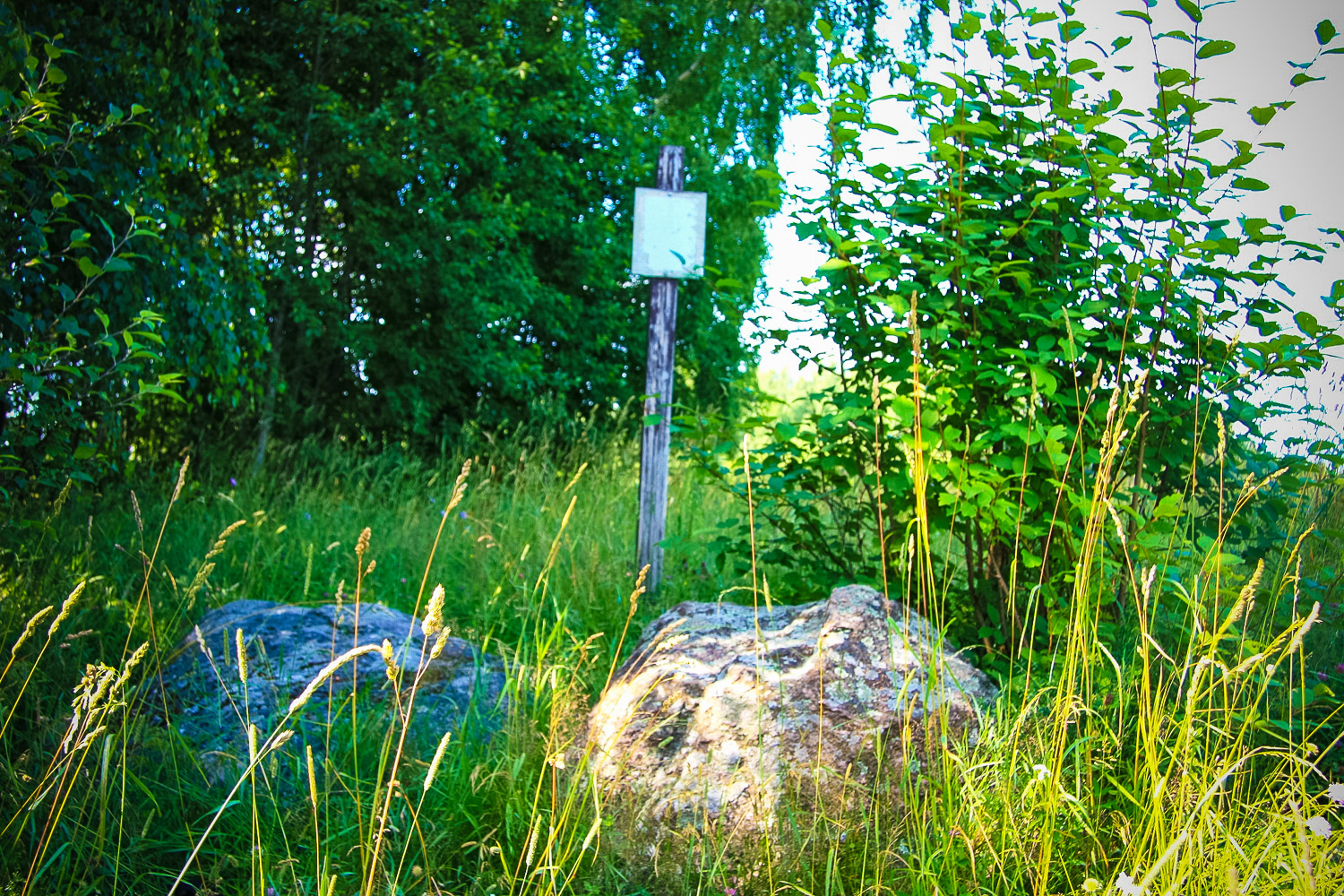
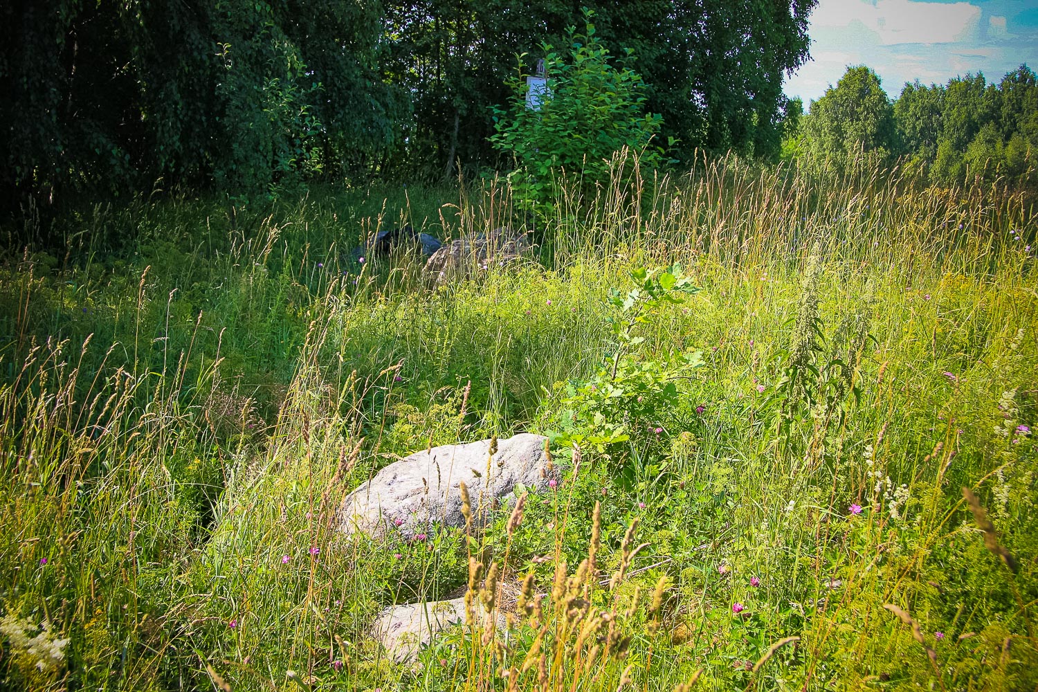
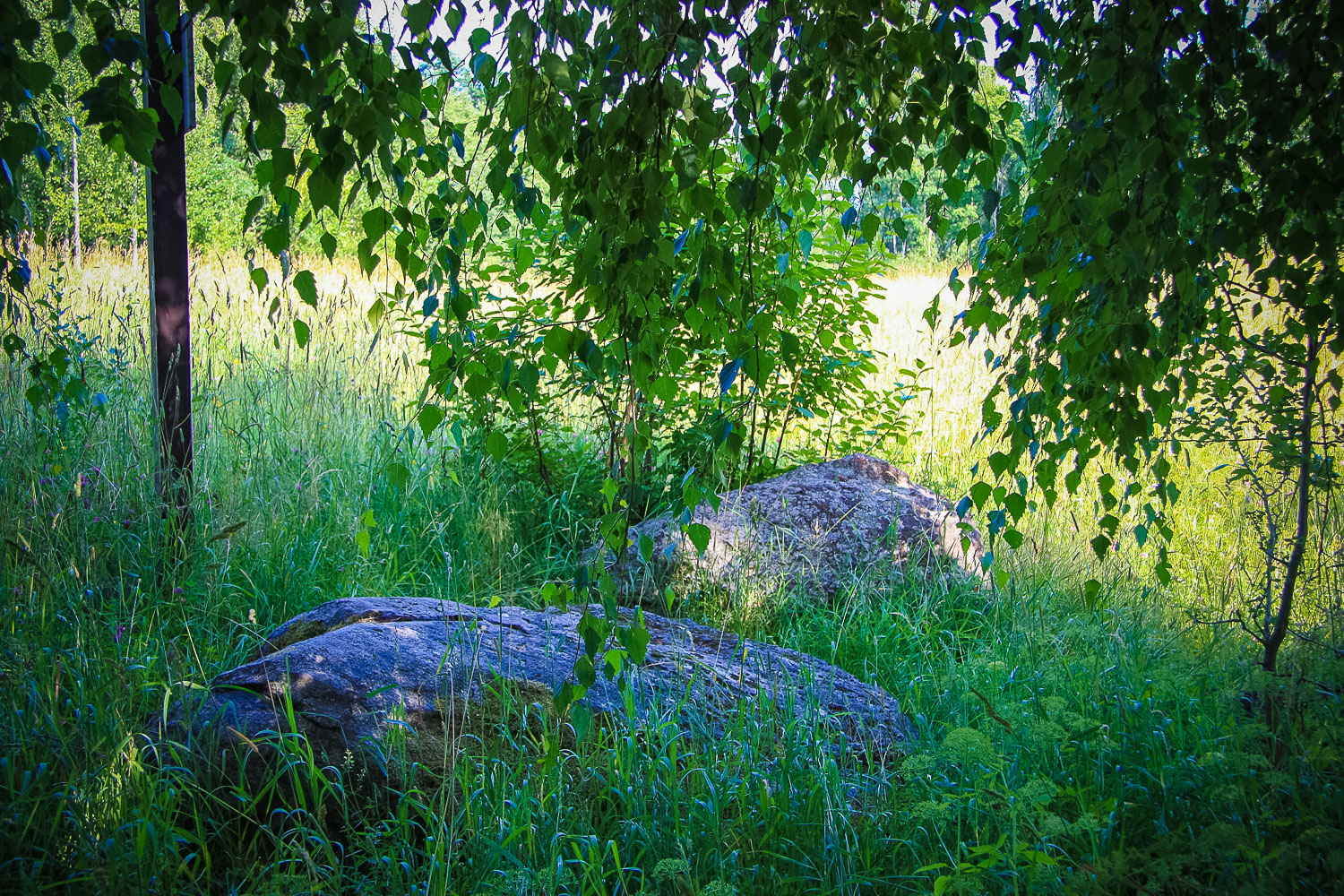
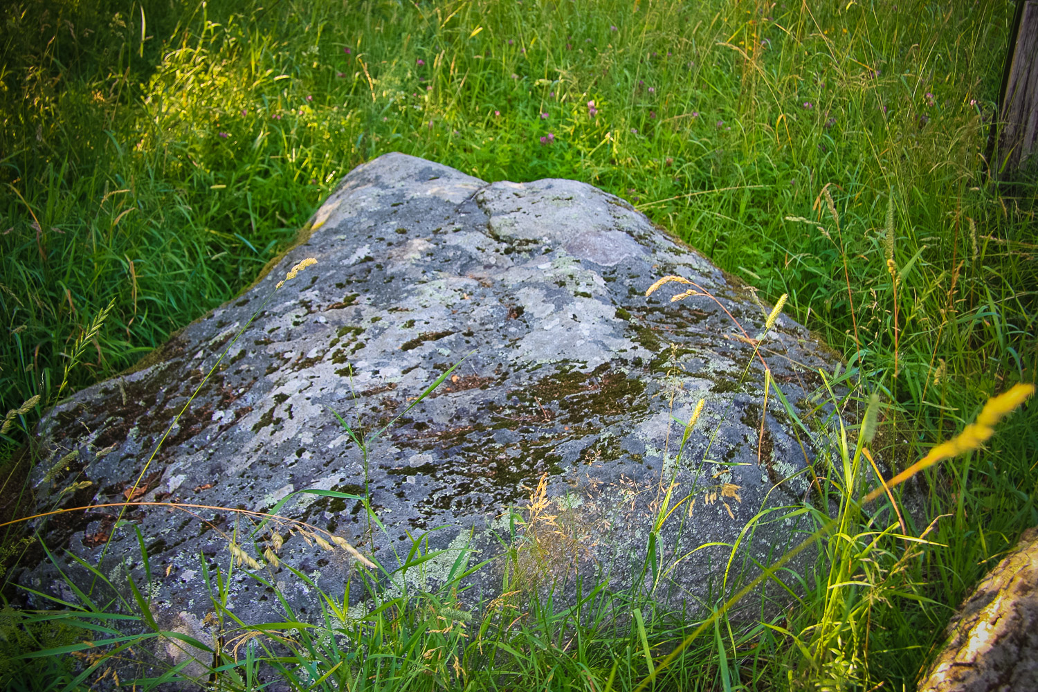
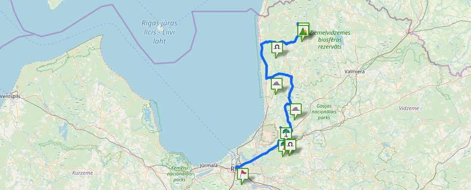
It is local archaeological heritage (State Inspection for Heritage Protection, No 627). The Silabuli Footprint Stone or Devil’s Stone has an explicit foot form of the hollow. A former cult site (Cēsis Tourism Information Centre, 2012a).
Narrative
No recorded folklore materials have been found. The local people cannot tell anything about the site.
Attraction
It is grown into the grass. There are several other smaller stones around— when walking across the meadow you have to be cautious, because you can stumble or slip on a stone that has grown into the gr
Availability
No indication signs to the Silabuli Devil’s Stone — earlier there was a sign, but it was demolished though. There is an indication sign to the Silenieki homestead situated before the Kalna Silabuli homestead. Before the stone an electric fence has been installed that currently is not functioning, but one has to take into account that this could hinder access to the object in certain periods of time.
Infrastructure, management, facilities
The stone is situated in a meadow, it is ingrown into the grass. No infrastructure available.
Local info
At the stone one can still see the pole of the former indication sign, on which the name of the ston
Capacity
0 – 9
Publicity
Unknown
Legal Status
Private