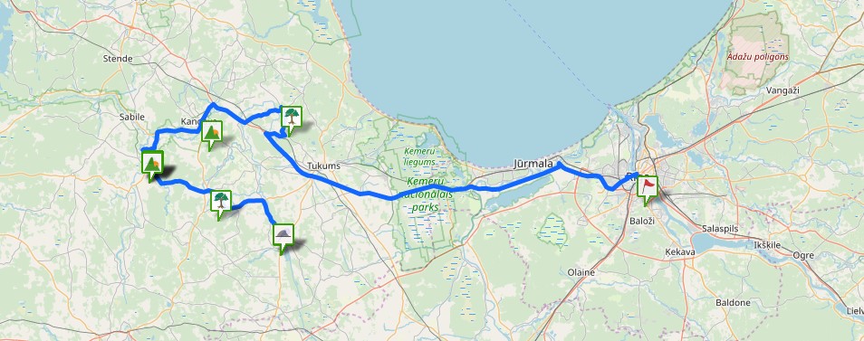
Location
State: Latvia
Region: Riga
County: Limbaži
Parish: Viļķene
Other references to the location
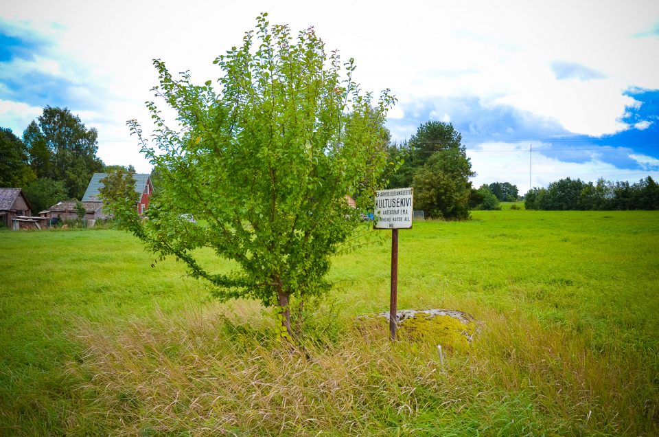
At the orthodox cemetery of Viļķene, 120 m NE of the cemetery, about 20 – 25 m of the left bank of the Urdziņa River, in a meadow in the middle of an alder forest.
Coordinates
lat=57.6211111111, lon=24.5719444444
57° 37′ 15″ N, 24° 34′ 18″ E
Description
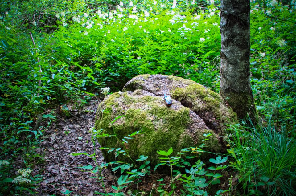
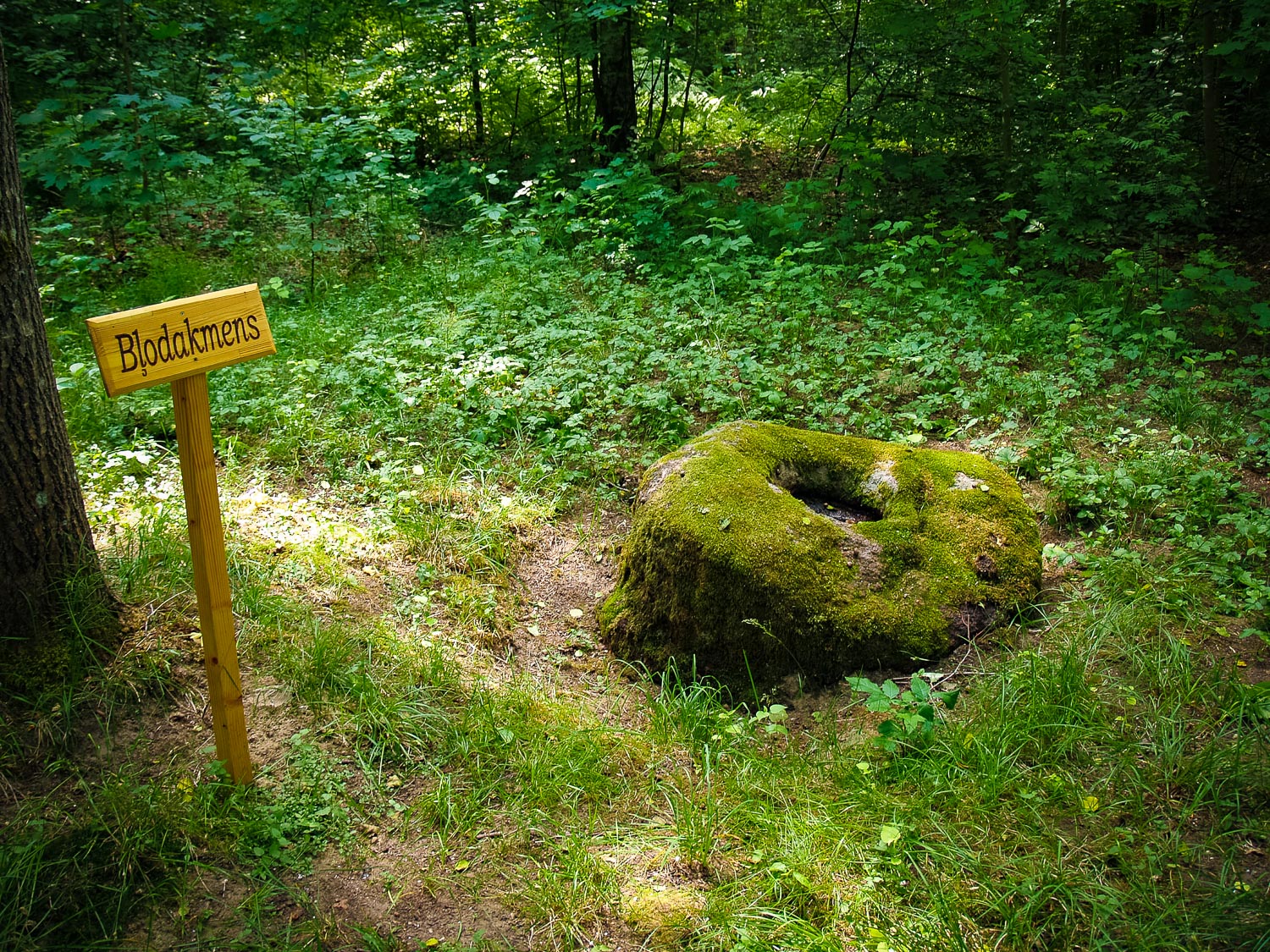
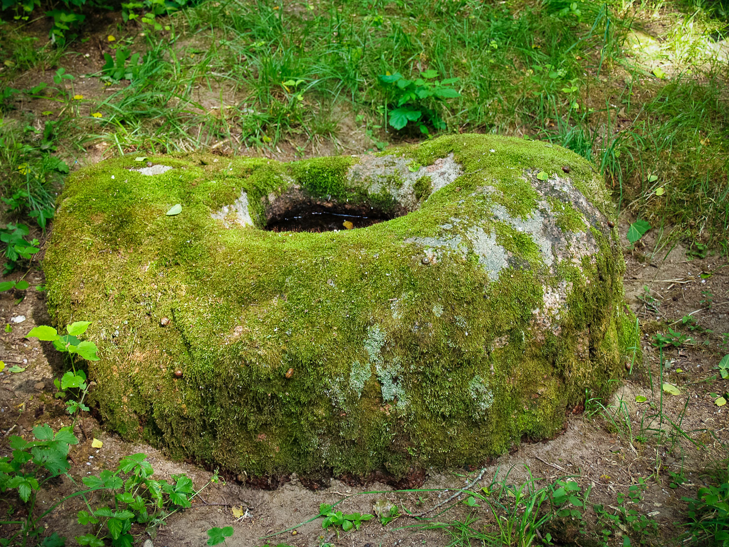
The Viļķene Hollow Stone was examined in 1994. Its closest landmark is the old orthodox cemetery of Viļķene. Viļķene itself is located several kilometres further. At the examination time, there were dug up pits established at both sides of the stone, as well as pieces of broken stone and coal noticed. It seems that the stone with a holow is situated in its initial place. In former times, the stone was located on pastureland. It is a coarse-grained reddish granite sank into ground. The upper part of the stone had been made cylindrical by means of groove-shaped carvings, the lower part had been little transformed, roughly chipped around. The diameter of the stone is 1.15–1.20 m, the height of the upper part is 0.5 m, the height of the whole stone is — 0.85 m. The diameter of the chipped roundish cylindrical hollow in the middle of the stone is 0.35 m, depth of 0.15–0.22 m. At its bottom along the sides, there is a groove carved. Along the sides of the upper part of the stone, there are 40 grooves carved every 8.5 cm, which are 5 cm wide. It seems that around the stone a ditch had been dug already in modern times, although levelled later on. This kind of stones with a hollow are more characteristic of Kurzeme. Čakste, 2007; Grīnbergs, 2009; with author’s addendum.
Attraction
Attractive
Availability
Although the Viļķene Cemetery is the closest to the stone and the main landmark, there is no path leading from the cemetery to the stone.
Infrastructure, management, facilities
None
Local info
There is information.
Capacity
0 – 9
Publicity
Known
Legal Status
Private
Comments
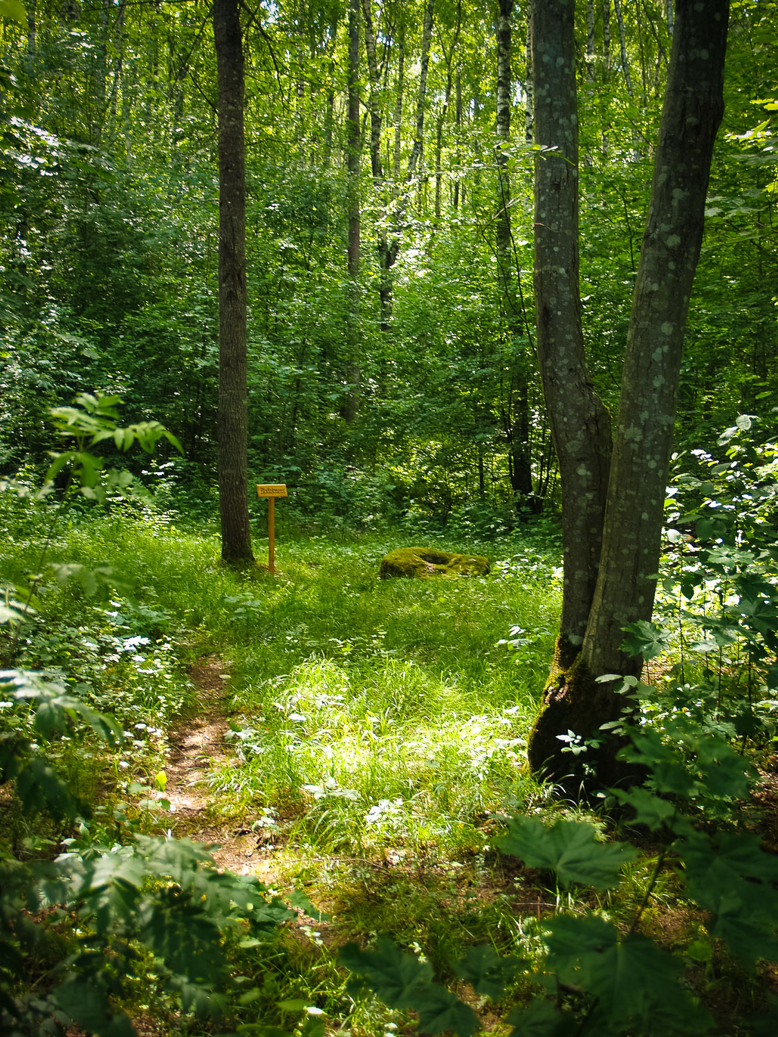
A year ago, the alder forest was cut out around the stone; now the stone is located in a kind of forest or alder forest meadow, through which a path goes. On one side, the path crosses the Urdziņa River over a plank way, made of tree trunks, ending at the meadow. There, at the verge of the bushes, the beginning of the path is marked by ribbons. In opposite direction, the path has been cleaned up and it goes paralell to the Urdziņa River. By the stone, there is a sign with an inscription “Bļodakmens” (Stone with Bowl-Shaped Hollow), but still further from the stone, there are no idication signs and the unaware persons would hardly find it.
You might also like