Location
State: Latvia
Region: Kurzeme
County: Saldus
Parish: Ezere
Other references to the location
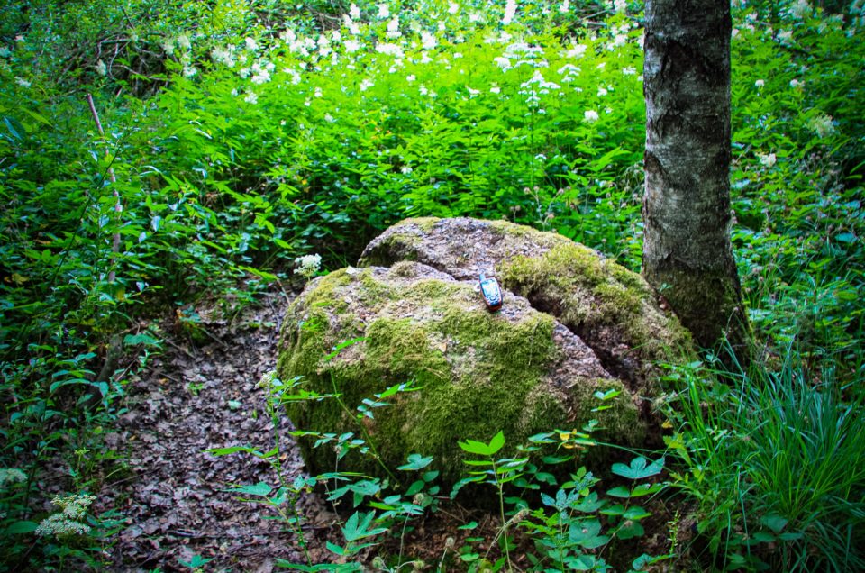
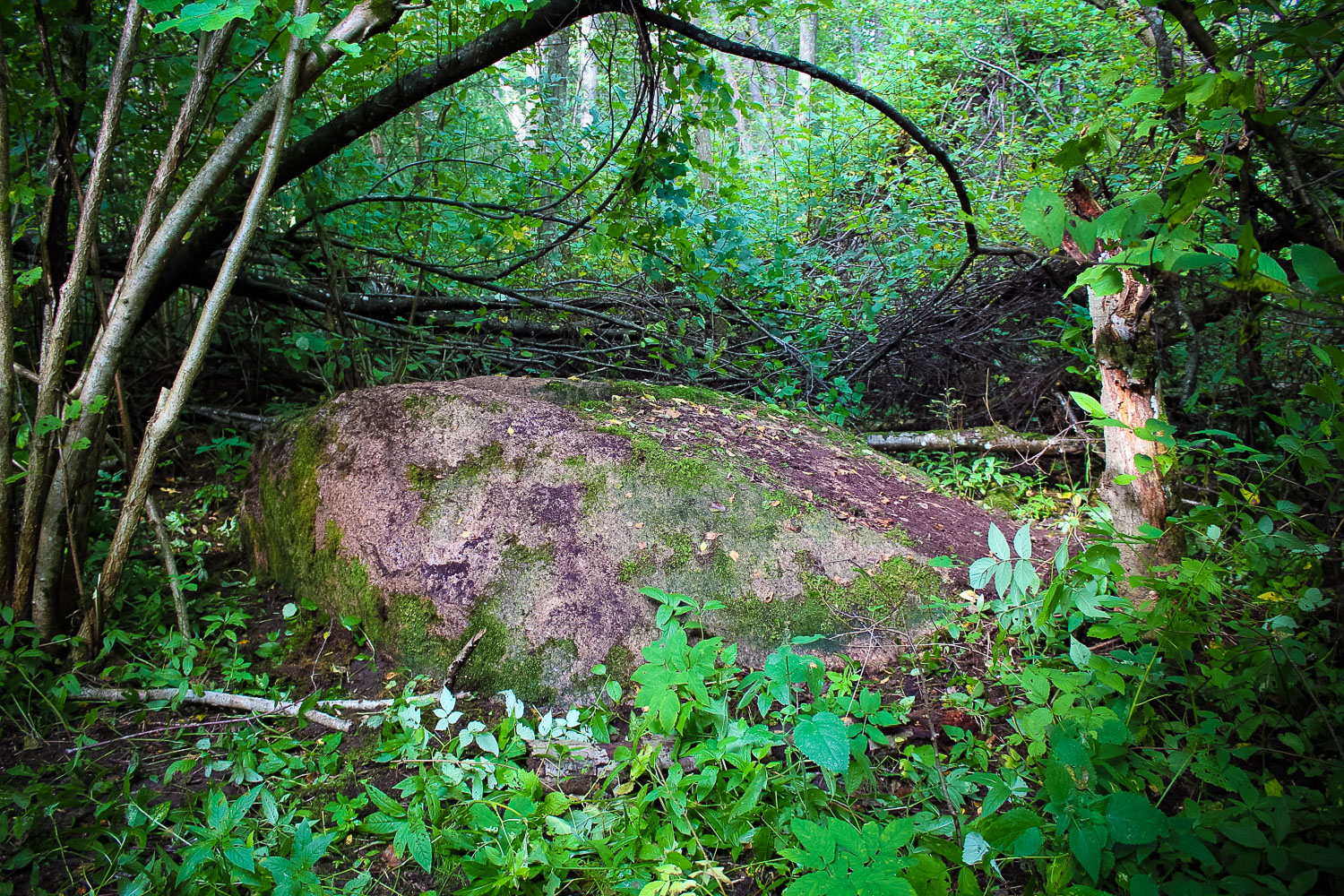
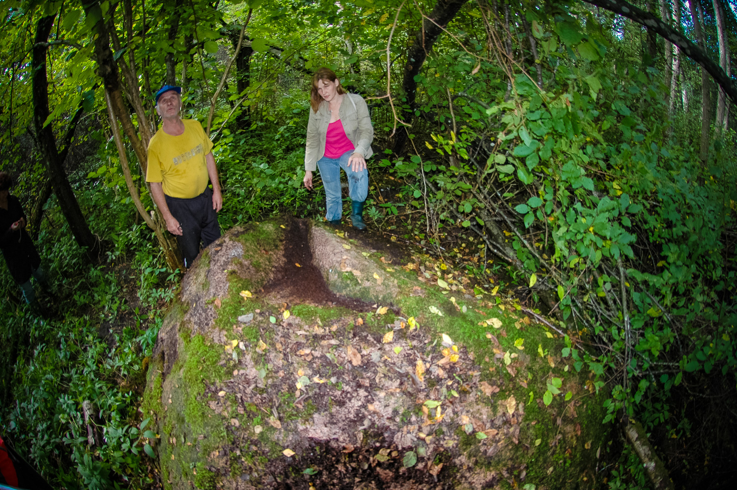
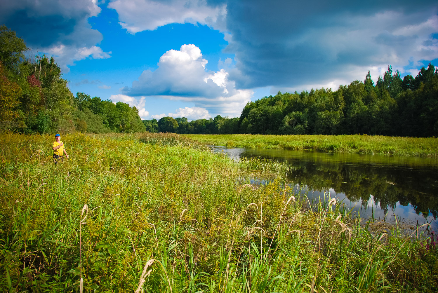
About 400 m SW from the Vecšauļi homestead and about 100 m from the right bank of the Vadakste River, in thick alden underbrush which has covered the former meadows.
Coordinates
lat=56.4061, lon=22.4420166667
56° 24′ 21″ N, 22° 26′ 31″ E
Description
The size of the stone: length 3.10 m, width 2.50 m, height 0.5–0.8 m, circumference 9.50 m. On the surface of the stone there is a big jag which torn out around 1940 – 1945. The stone was first surveyed in 2006 (A. Grīnbergs).
Narrative
The first data about this Devil’s Stone were reported by archaeologist Jānis Apals who used to live in Vecšauļi homestead in his childhood and tended grazing cattle at the stone. Some man named Ponteins from the Lithuanian bank of the Vadakste River had told him that on the stone “the Devil used to dry money”. It can be considered an ancient site based on the name of the Devil’s Stone.
Attraction
Some
Availability
Very difficult to access. There are no information signs. The stone lies in a bushy, overgrown forest. The site can be reached by walking SW through an underbrushy forest for about 400 m from the Vecšauļi homestead. It lies in thick alder underbrush. It is recommended that the coordinates are followed because even the locals can find the stone with a great difficulty.
Infrastructure, management, facilities
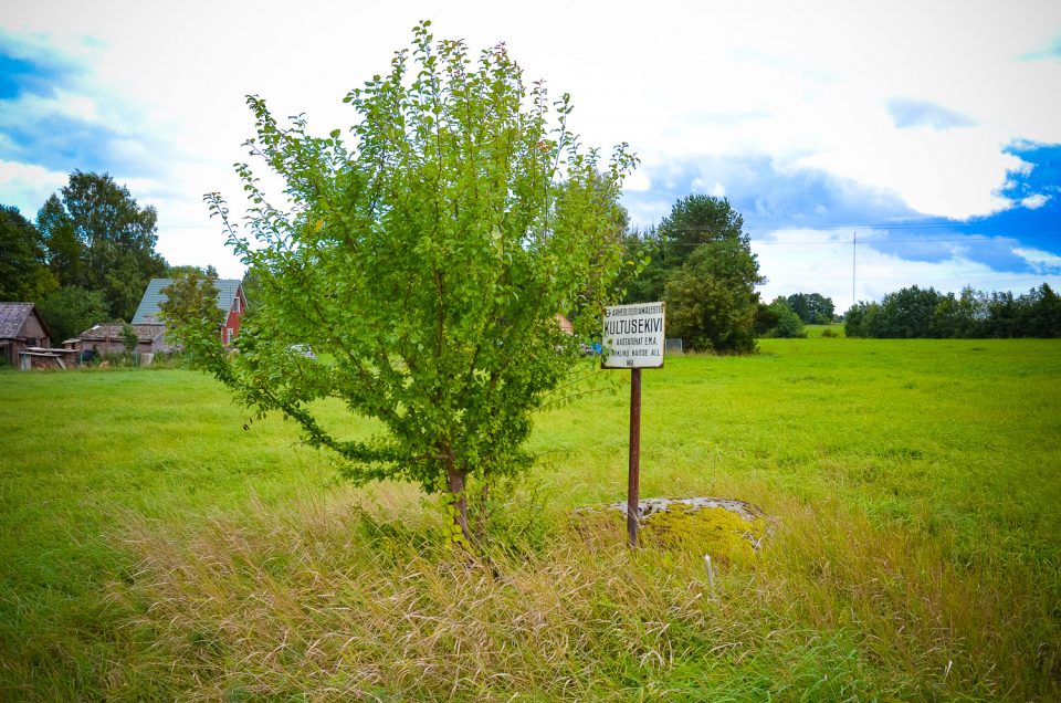
There have been no facilitation and maintenance works performed within the territory, no indication signs.
Local info
There is no information stand on site. The on-site information is provided by the owner of the Vecša
Capacity
0 – 9
Publicity
Known
Legal Status
Private
You might also like