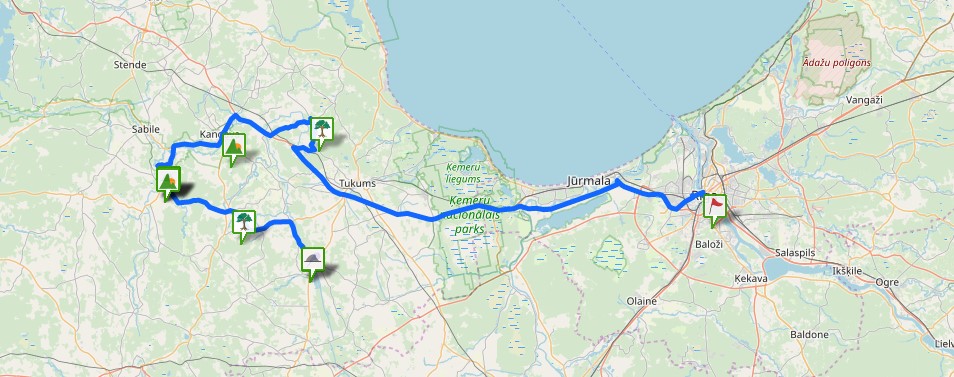
Location
State: Latvia
Region: Riga
County: Aloja
Parish: Staicele
Other references to the location
At the Tauči homestead. The closest inhabited place is Jaunvilklaužņi.
Coordinates
lat=57.9397222222, lon=24.7363888889
57° 56′ 22″ N, 24° 44′ 11″ E
Description
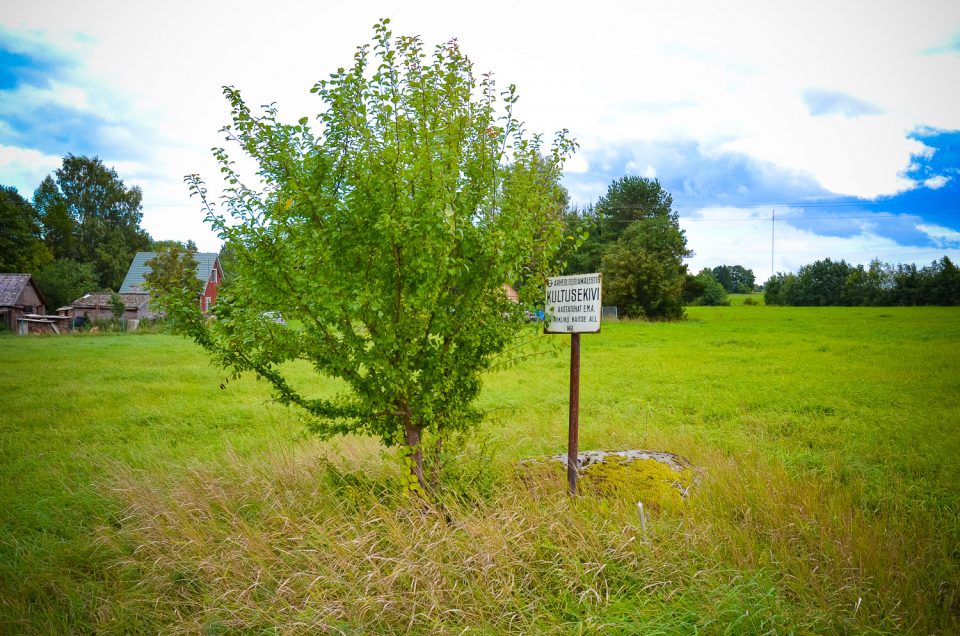
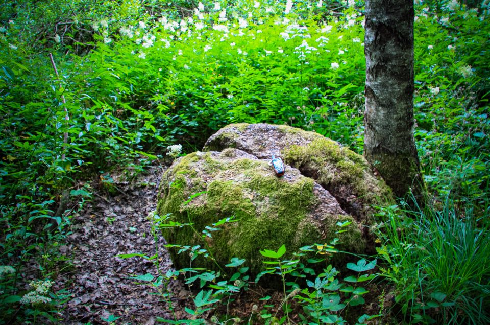
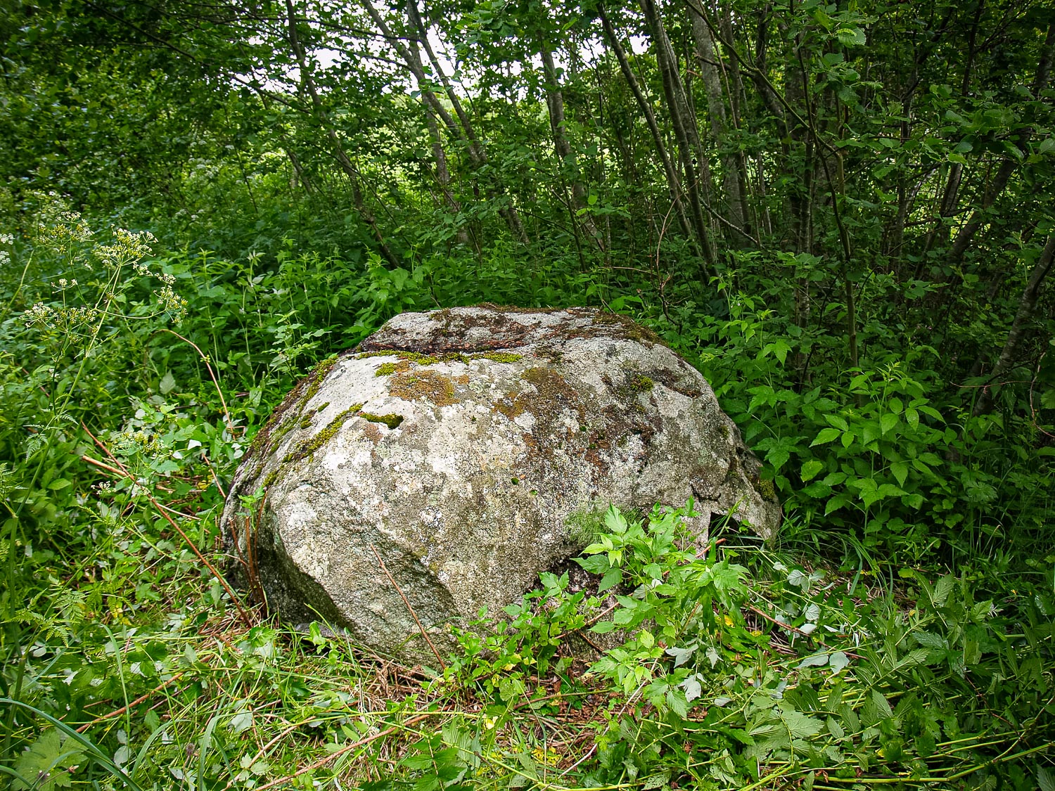
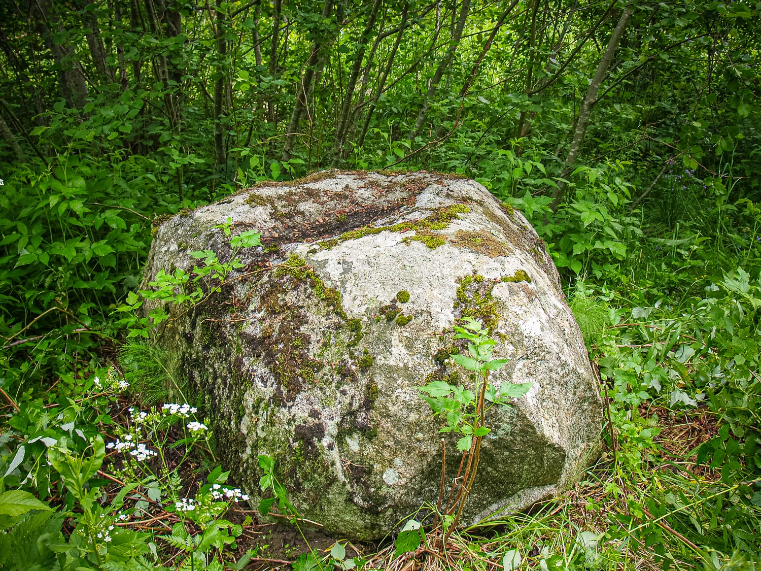
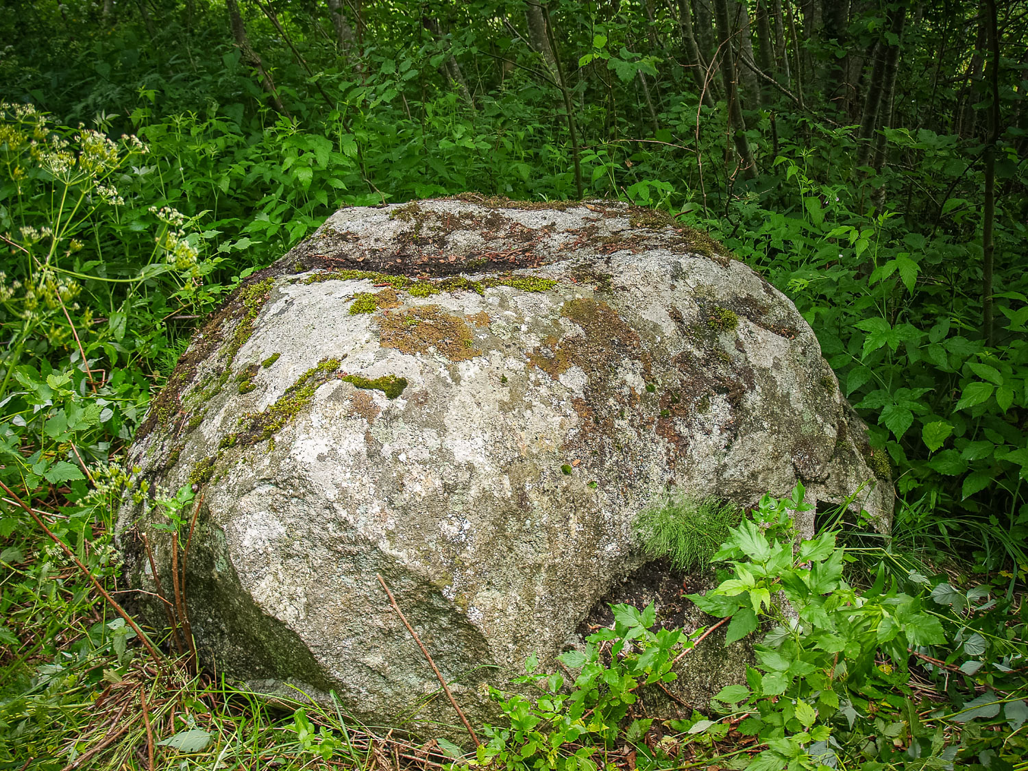
In the nearby surroundings of the Tauči Stone with a hollow — there, at the Estonian border, the homestead is abandoned and ruinous. The surroundings are getting overgrown; there are sloppy fields,leafy forests. The former location of the Tauči homestead can only be sensed. Currently, the stone has been overgrown with bush and grass. It is a natural stone with a natural gently sloping cavity at its surface. Once, during the collective farming times, they wanted to remove the stone, but they did not succeed with it. It is possible that the crumbled parts at the stone’s foundation are evidence for these attempts. The name Bļodakmens (Stone with bowl-shaped hollow) was introduced not long ago, such a name was not used before.
Narrative
The Ozoliņi Stone, the White Stone, the Big Stone, the Holy Stone in the Ozoliņi Dale. At the stone, they used to celebrate the summer solstice; the stone could be seen from the School’s Hill. (Rec. by. E. Kristapsone 1994, 1997, filed 1999. Stored at the Monument Documentation Centre of the State Inspection for Heritage Protection)
Attraction
Unattractive
Availability
Access hindered
Infrastructure, management, facilities
None
Local info
None
Capacity
0 – 9
Publicity
Unknown
Legal Status
Private
Comments
Head of Staicele Information Centre Inese Timermane narrated that in the nearby surroundings of the stone, there would be a large hunting household built up. Not far from the Tauči Stone, at other homesead’s ruins, there is an arrangement of many stones of about one meter in size on average which is looking weird, but it seems that it can still be considered to be a natural formation. On one of the stones of this arrangement there is a kind of a cavity, but it is still of natural origin.
You might also like