Location
State: Latvia
Region: Vidzeme
County: Gulbene
Parish: Dauksti
Other references to the location
At the former Rožkalni homestead
Coordinates
lat=57.138401604088, lon=26.637547816069
57° 8′ 18″ N, 26° 38′ 15″ E
Description
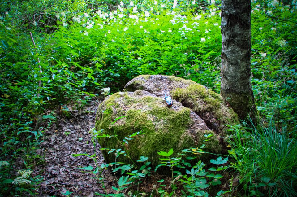
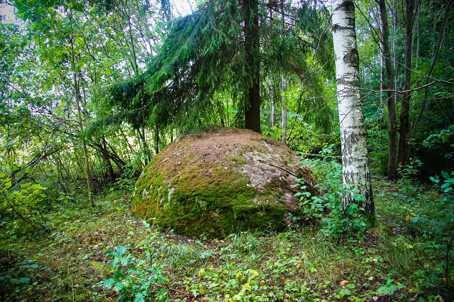
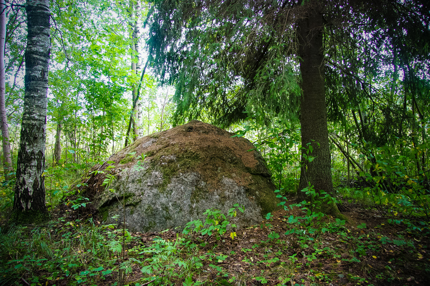
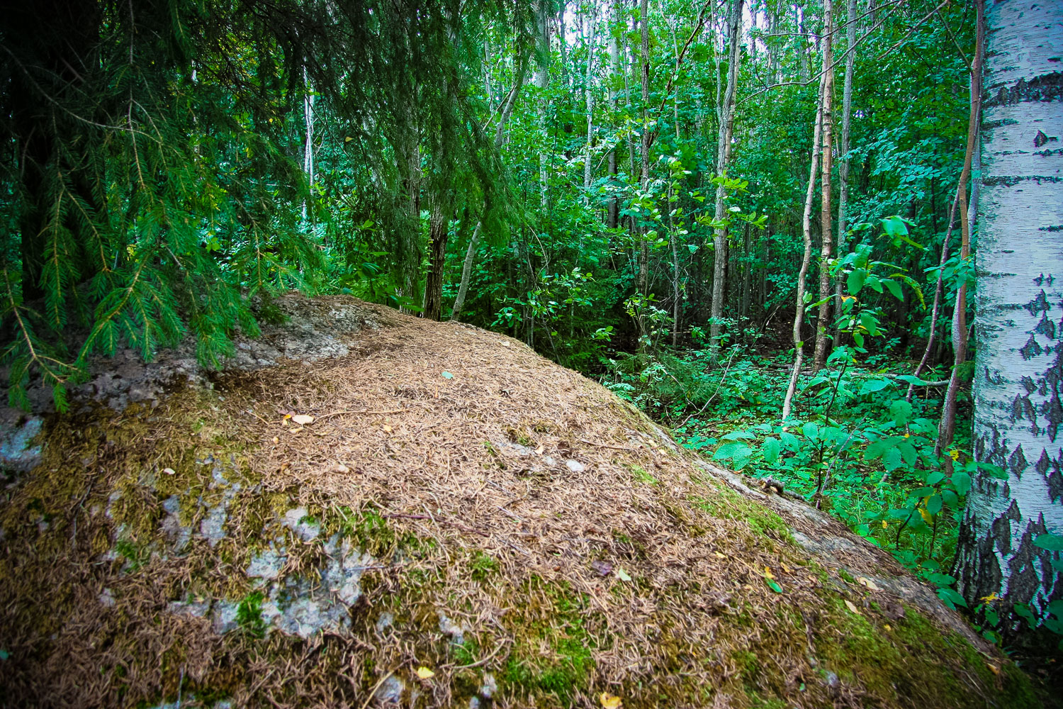
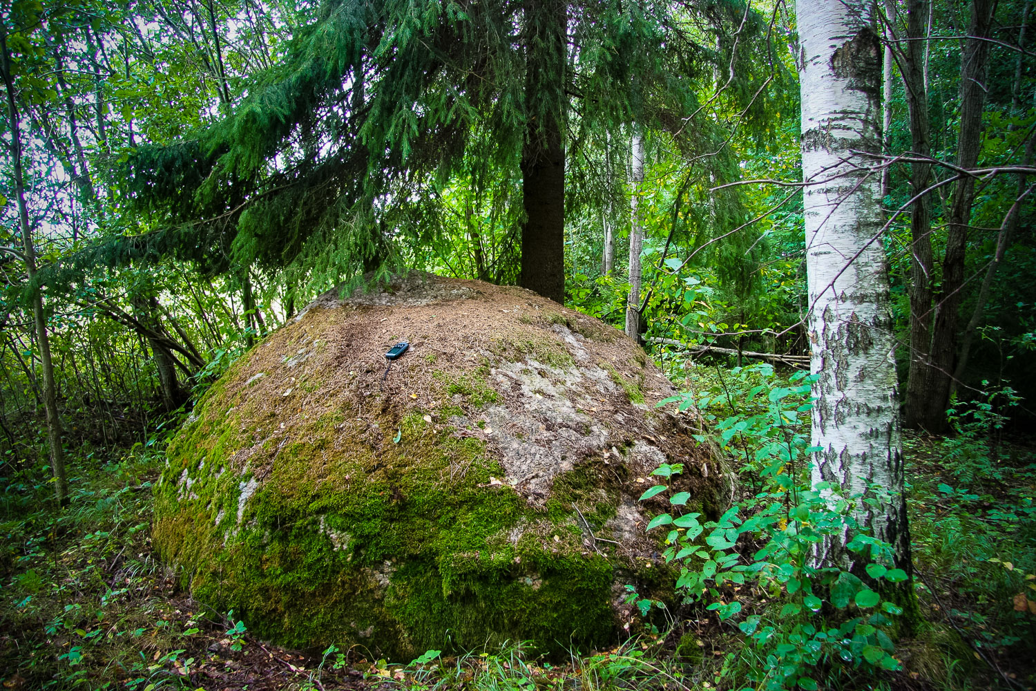
State archaeological heritage (State Inspection for Heritage Protection, No 818). The stone is located in the middle of an ameliorated field 150 m north-west of the Rožkalni homestead. Its height is 1.6 m and circumference at the ground of 10.5 m. The stone has not been artificially hewn, it contains no hollows. Nearby is the Krapa Hill Fort, the Cross Pine.
Narrative
“In ancient times it was very remarkable in all the surroundings. People from both the nearby surroundings and remote places brought different offerings there for spirits and witches, hence the name of the stone appeared. This habit was so much practiced that once even the Gulbene priest of that time G. Schilling came to the Witches’ Stone. In former times people were afraid to pass this holy stone by at night as it haunted there. The nearby swamp is called the Devil’s Swamp.” (Urtāns, 1990) The name Witches’ Stone appeared most probably in Medieval Times, namely, during the witch-hunt, because at the stone since ancient times ancient magical rituals had been held and offering brought. (Nature Western Repository (Dabas Retumu krātuve), 2005, ER; Vietas Ltd., 2005, 2012e).
Attraction
Actually the stone is plain, the object does not have anything special, because both its dimensions and location are similar to other examined stones.
Availability
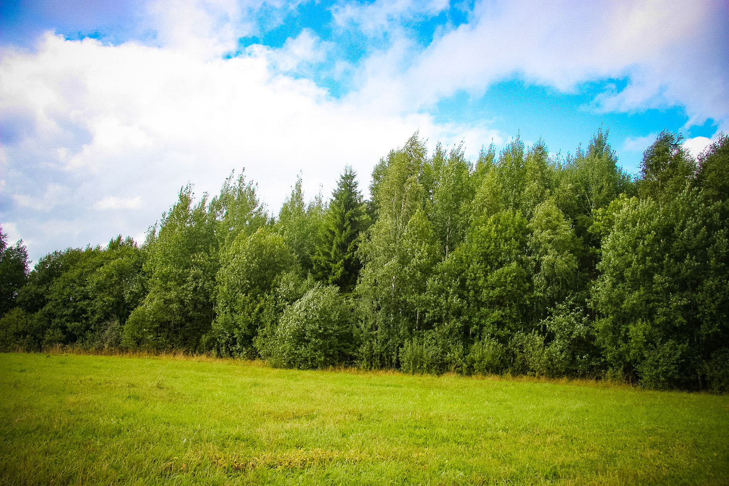
The object is rather easily accessible, from the Vērdiņi homestead across a meadow one can go by bicycle 200 m, but the remaining ~500 m on foot across the meadow. The grass in the meadow is mown, thus it is not difficult to move around. The stone is located in the deciduous forest, and its location can be detected by a fir-tree that was planted at the stone by the former landlady of the Vērdiņi homestead before 20 years. The fir-tree stands out against the other trees well – as a landmark.
Infrastructure, management, facilities
There is no infrastructure at all, the stone is situated on the edge of the forest. Nearby is a meadow. The indication sign is only to the homestead, there is none to the object itself. On the other side of the Vērdiņi homestead there is the brown in
Local info
There is no information stand, but the landlady of the homestead Inta Čabla knows several short tale
Capacity
10 – 40
Publicity
Known
Legal Status
Municipal property
Comments
Tales narrated by I. Čabla: 1) Under the stone a maiden was lying (buried), which, when the stone was rolled off, still looked as if being 20 years old; 2) onto the stone slope poor people brought food, but the rich ones took it all away so that the poor did not get the feast. A woman-healer used to come to the stone; she said the stone had strong energy.
You might also like