Location
State: Latvia
Region: Zemgale
County: Krustpils
Parish: Kūku
Other references to the location
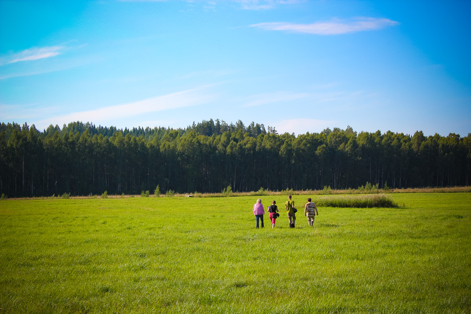
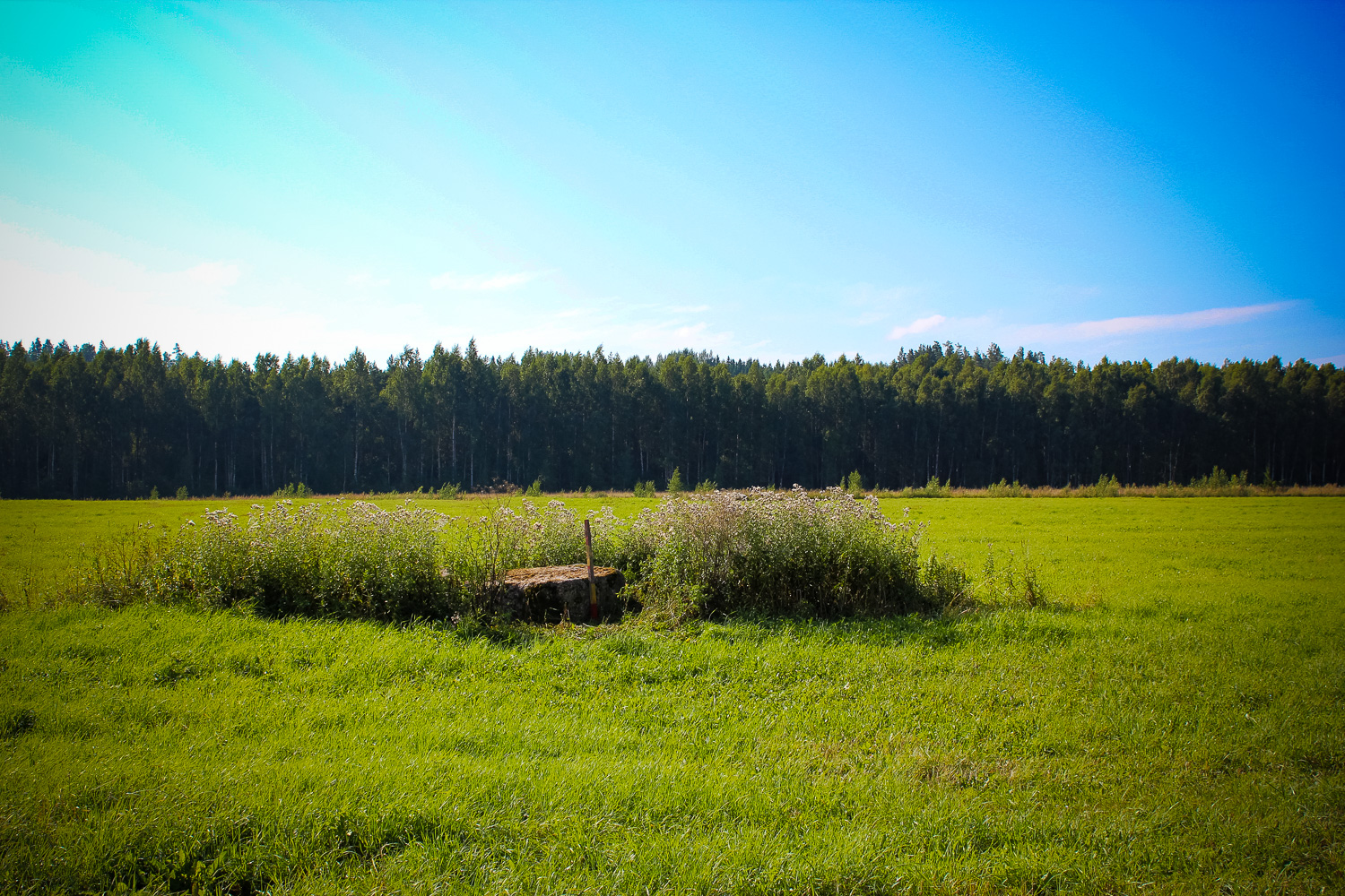
In the Latgale area of Zemgale Planning Region, in the valley of River Darzupite, at “Priednieki” home, 120 m direction N from the River Darzupite, 430 m direction S from Jekabpils – Rezekne main road, in an open field – around 350m from an inhabited home.
Coordinates
lat=56.5386111111, lon=26.0438888889
56° 32′ 18″ N, 26° 2′ 38″ E
Description
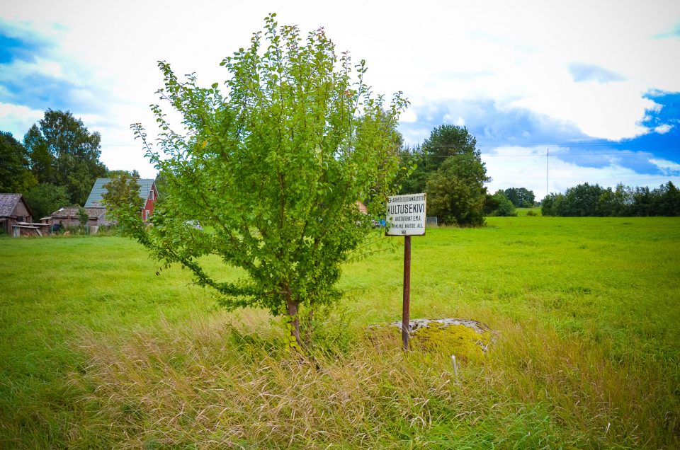
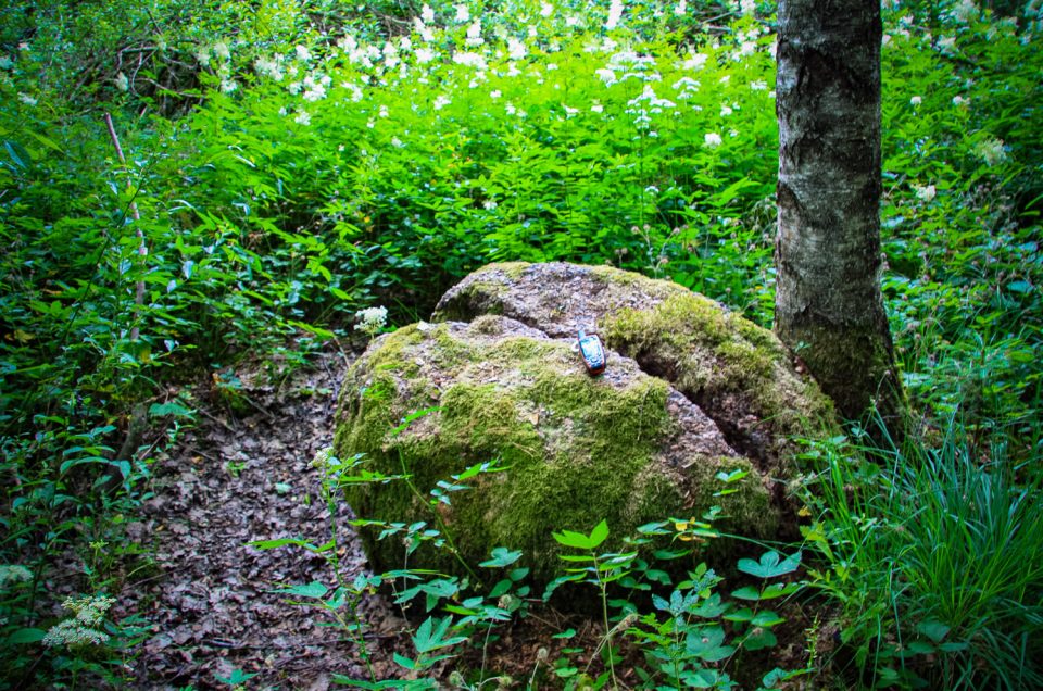
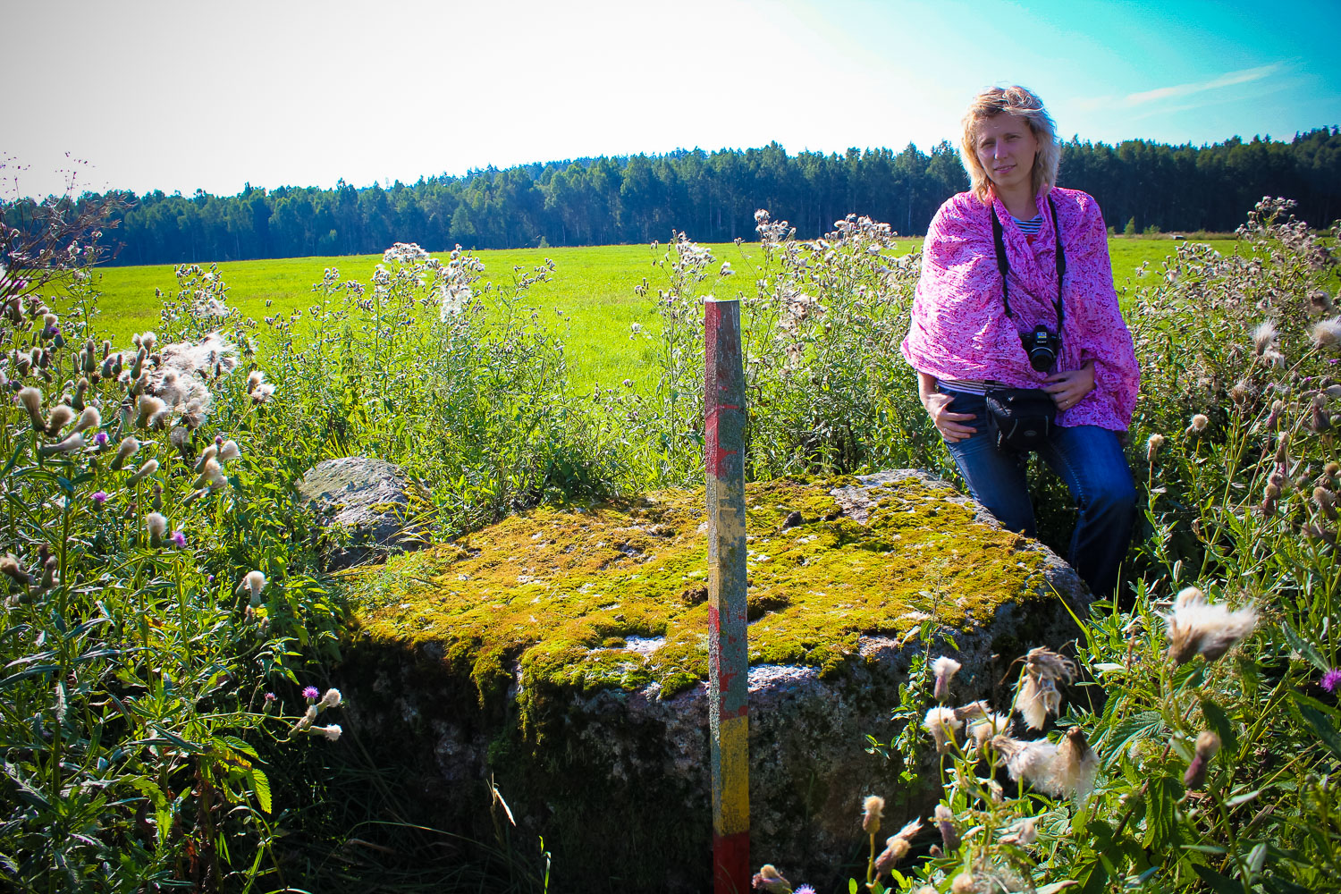
The rather small stone is located in the middle of open meadows and its location is seen from afar – a place overgrown with tall grass. Dimensions of the stone: length – 2,0 m, width – 1,4 m, height up to 0,6 m, circumference – 5,45 m, volume – 1 m3. Large-grained red granite. The surface is flat, with no carvings or other marks. Smaller stones, which are removed from the field, are put next to the stone.
Narrative
First information about the stone was provided by the archaeologist Juris Urtans, who found out that the stone is called Devil’s Stone. The place is deemed a mythological site.
Attraction
Small. Humble stone located in an area, which is overgrown with weed.
Availability
Rather easy accessible. Access depends on the season – may be hard to access where the meadow is overgrown and during wet weather.
Infrastructure, management, facilities
No signs, no tourism infrastructure. In the centre of Kuku parish minor tourism infrastructure, shops. In Krustpils town and Jekabpils city there are accommodation and catering sites, entertainment centres (cinema, theatre, open-air stage, SPA centre
Local info
No information.
Capacity
10 – 40
Publicity
Known
Legal Status
Private
Comments
Rather small by size; it is not a secular stone.
You might also like