Location
State: Latvia
Region: Vidzeme
Town: Mazsalaca
Other references to the location
On the right bank of the Salaca, opposite Saint Anna’s Lutheran Church, in an alluvial meadow, 48 m north-west of the Salaca, not far from a bathhouse
Coordinates
lat=57.8572222222, lon=25.0661111111
57° 51′ 25″ N, 25° 3′ 57″ E
Description
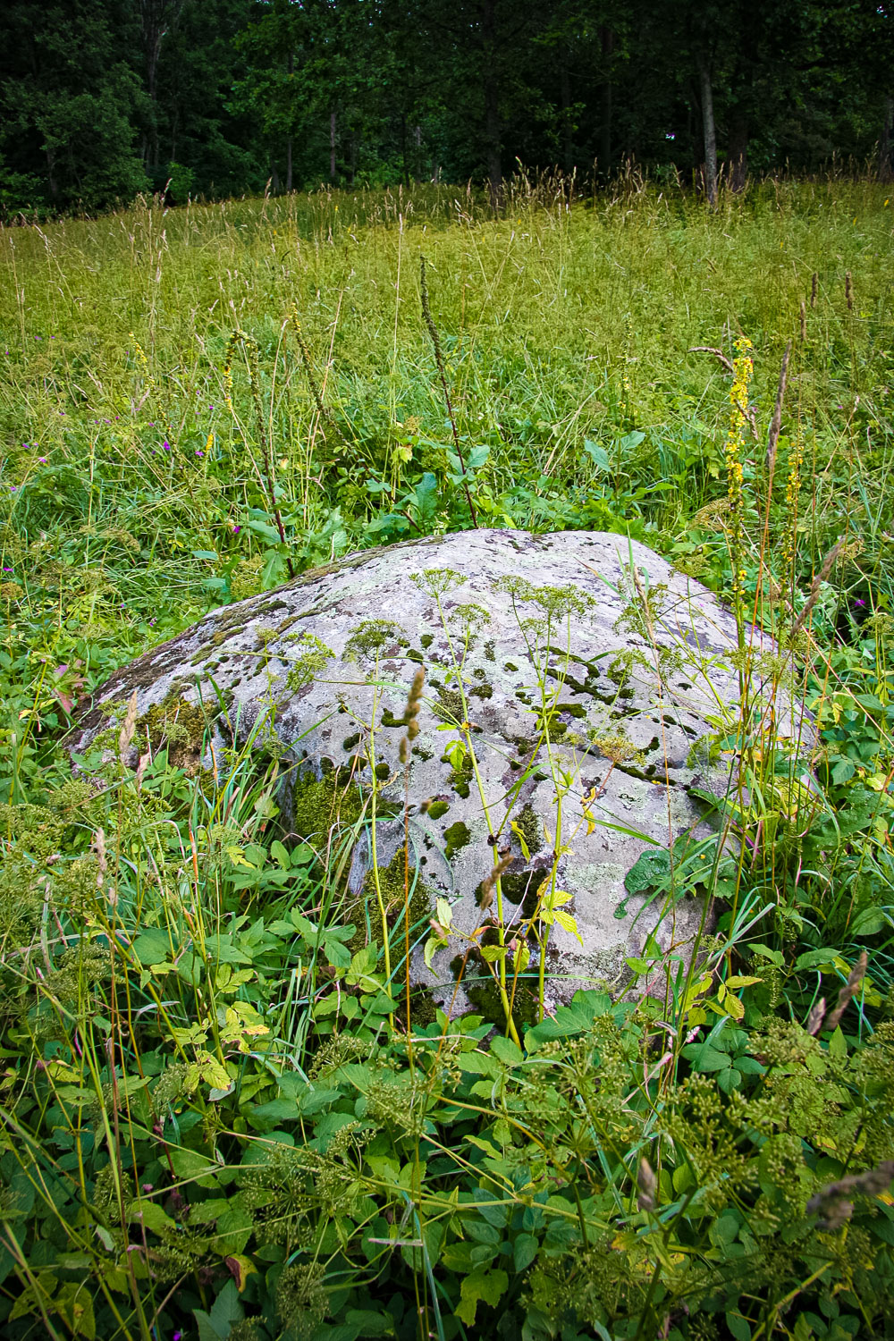
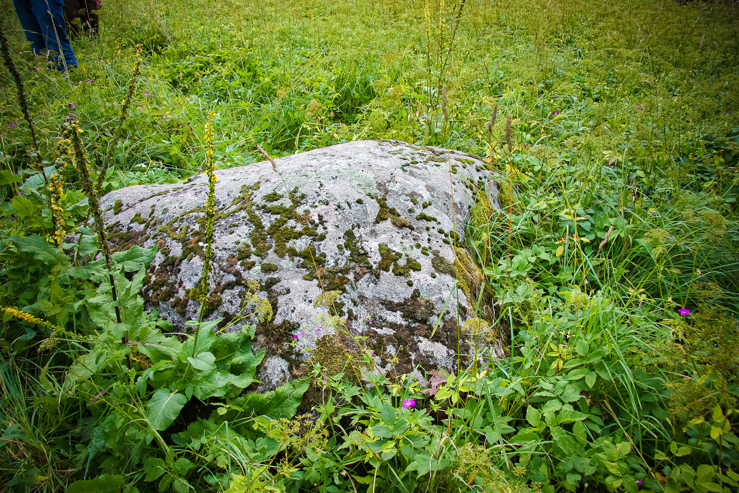
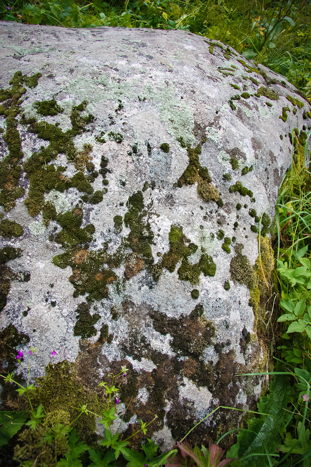
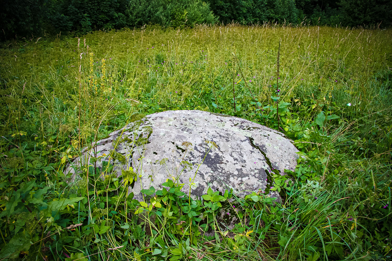
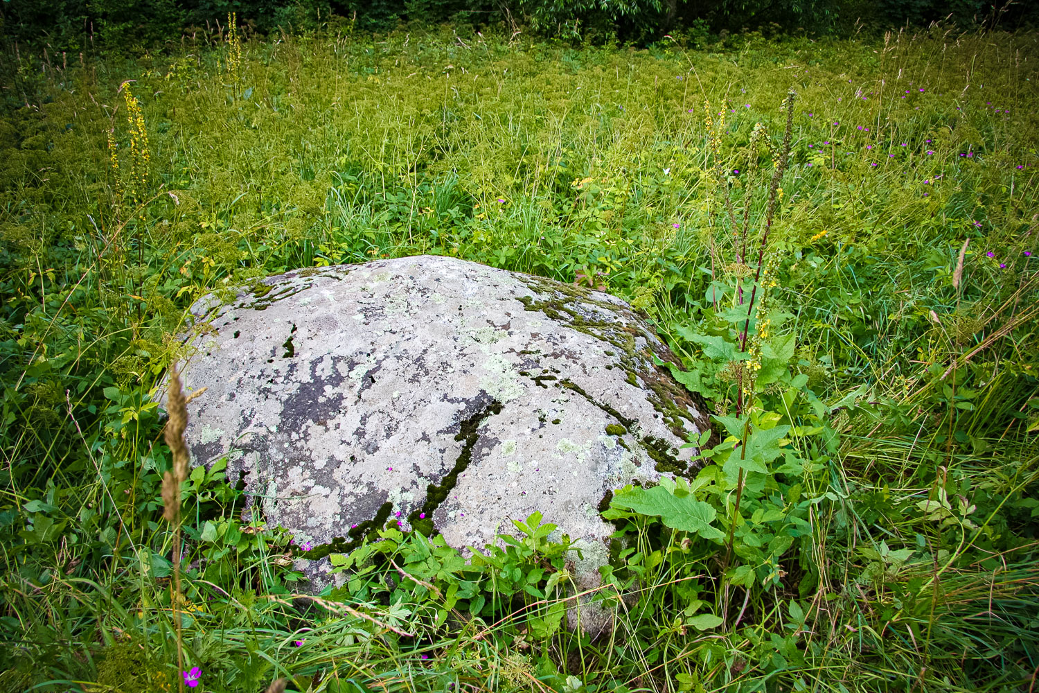
One of the cup-marked stones of Northern Vidzeme. On the surface of the stone there are 32 spherical cup-marks. Their depth is from 0.2 to 1.1 cm, diameter — from 3.5 to 7 cm. Dimensions: 0.70 m high, 2.10 m long, 2.10 m wide, circumference of 6.70 m. On a stone side there are two rather large hollows. On the north-west side there is a gradually sloping coving, probably, of natural origin. The volume above the ground is about 60 %. It was discovered by Ansis Opmanis in May of 2002. The cup-marks are not very explicit if compared to other stones of this type in Latvia. (North Vidzeme Geopark, 2010–2011) Other nearby objects: Mazsalaca Saint Anna’s Church, Mazsalaca, Skaņākalns Nature Park.
Narrative
No recorded folklore materials have been found. The local people cannot tell anything about the site.
Attraction
The stone is not expressive, it does not stand out in nature (the meadow is overgrown).
Availability
It is situated in a meadow of the river flood-land (that is not regularly mown in summer), no indication signs. One has to walk ~300 m from a probable parking lot. It can be visited free of charge.
Infrastructure, management, facilities
No
Local info
No
Capacity
0 – 9
Publicity
Unknown
Legal Status
Private