Location
State: Latvia
Region: Zemgale
County: Jaunjelgavas
Parish: Staburaga
Other references to the location
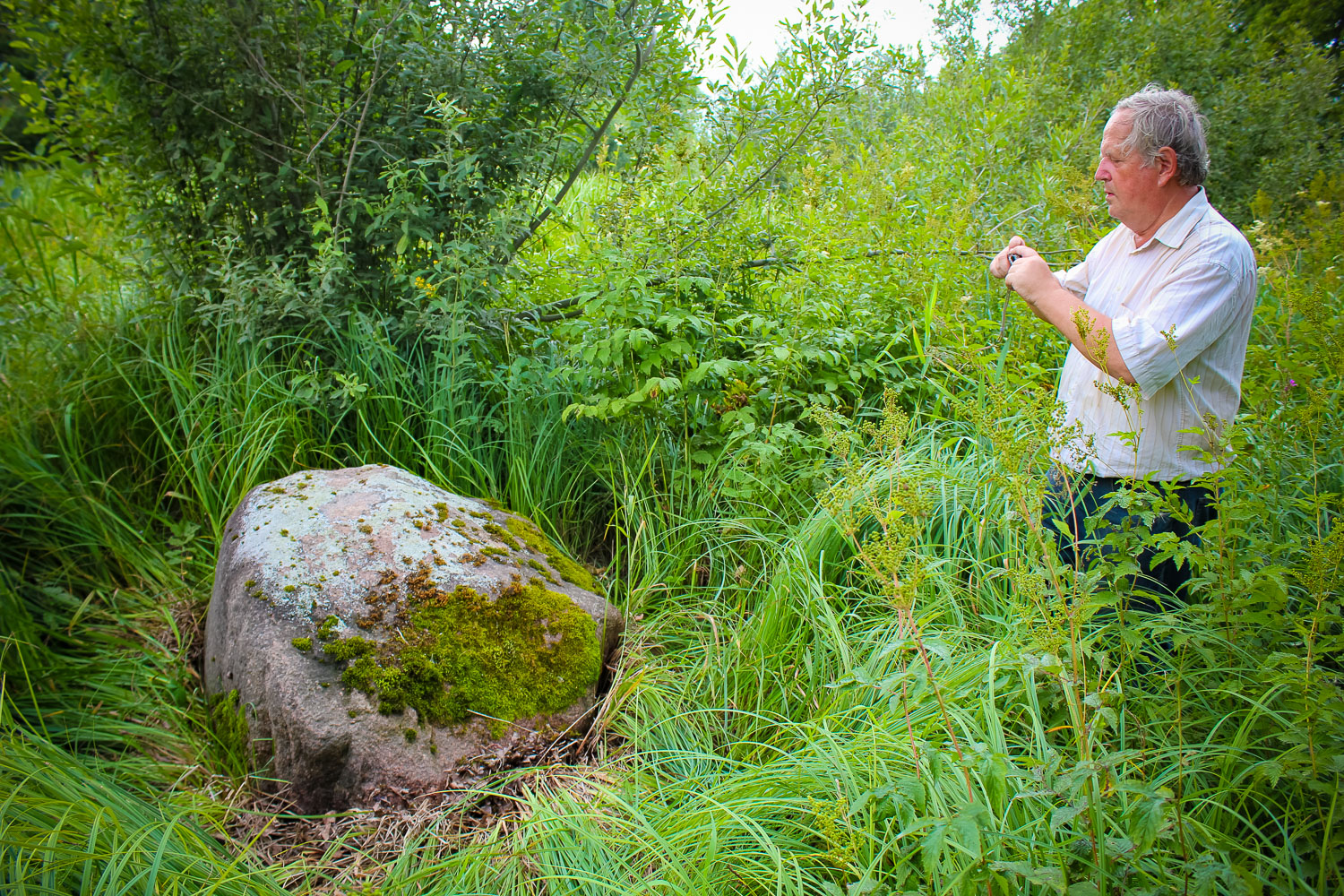
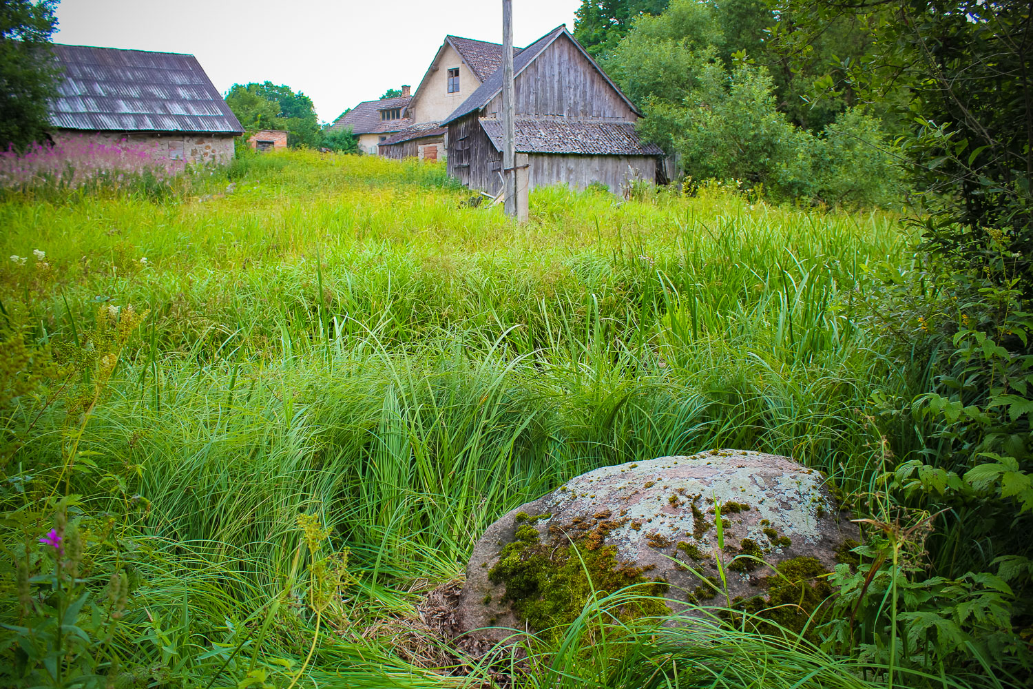
10 m from the road at “Kriguli” home in Staburags parish, 1m from the edge of a ditch.
Coordinates
lat=56.5677, lon=25.5922666667
56° 34′ 3″ N, 25° 35′ 32″ E
Description
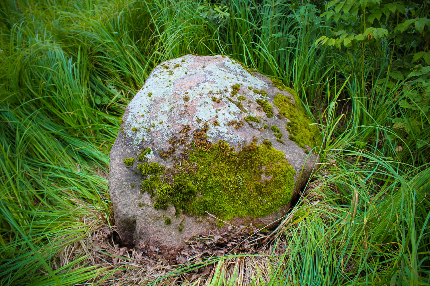
Large-grained red granite. Dimensions of the stone: 1,6 x 1,1 x 0,75 m.
Narrative
Stories about treasures buried underneath the stone, which are related to the French military expedition from 1812. Probably, the stone and the legends are widely spread, because the stone was visited by French motorists early 1990.
Attraction
Minot. The stone is rather humble, located in an overgrown, grassy area.
Availability
Rather easy accessible.
Infrastructure, management, facilities
No tourism infrastructure. Nearest town – Aizkraukle, where shops, accommodation and catering sites are found. Remarkable sightseeing objects in Aizkraukle – water power-station, museum “Kalna ziedi”, where also the remains of the castle mound and th
Local info
No information.
Capacity
10 – 40
Publicity
Known
Legal Status
Private
Comments
No carvings.