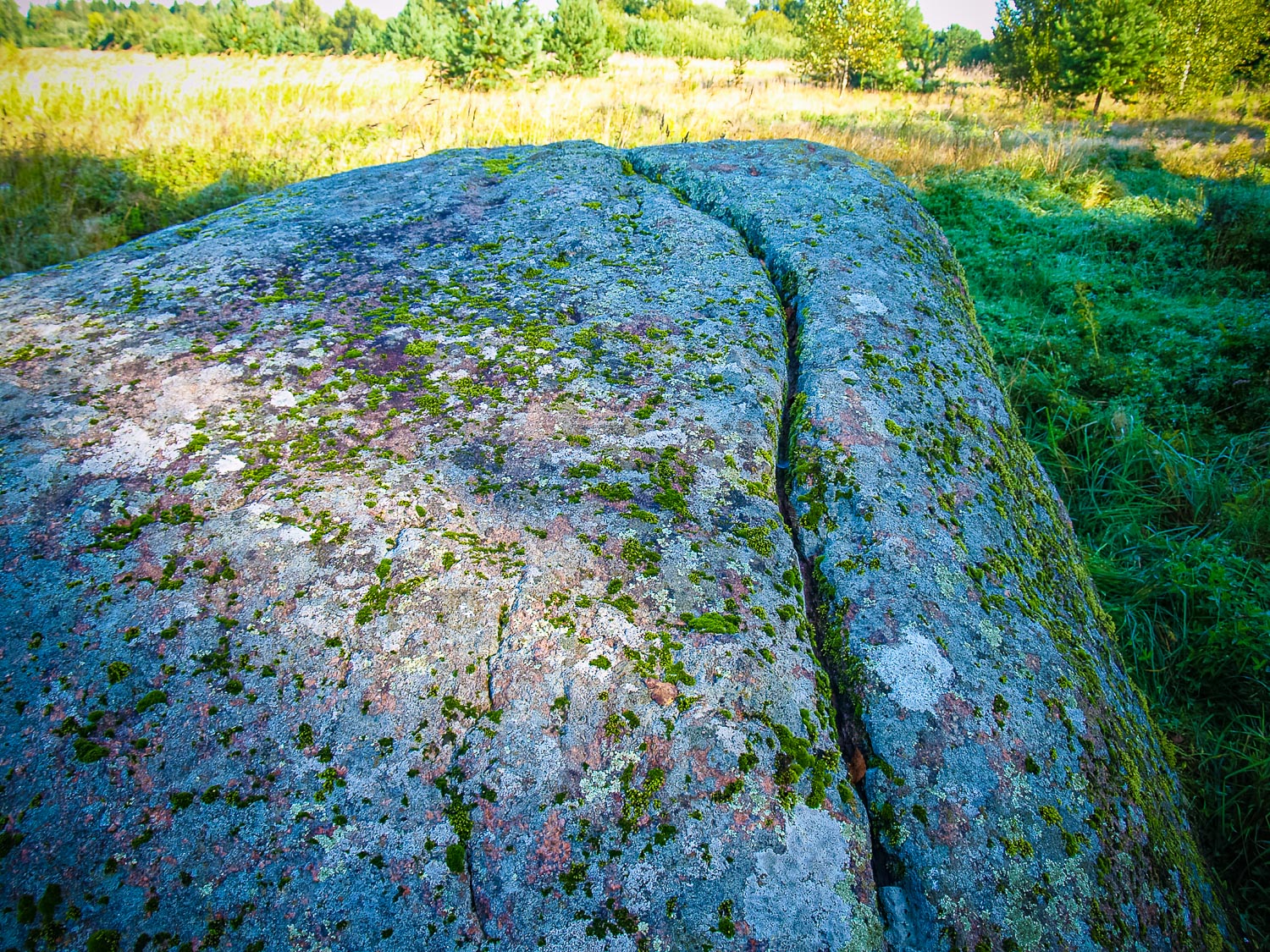
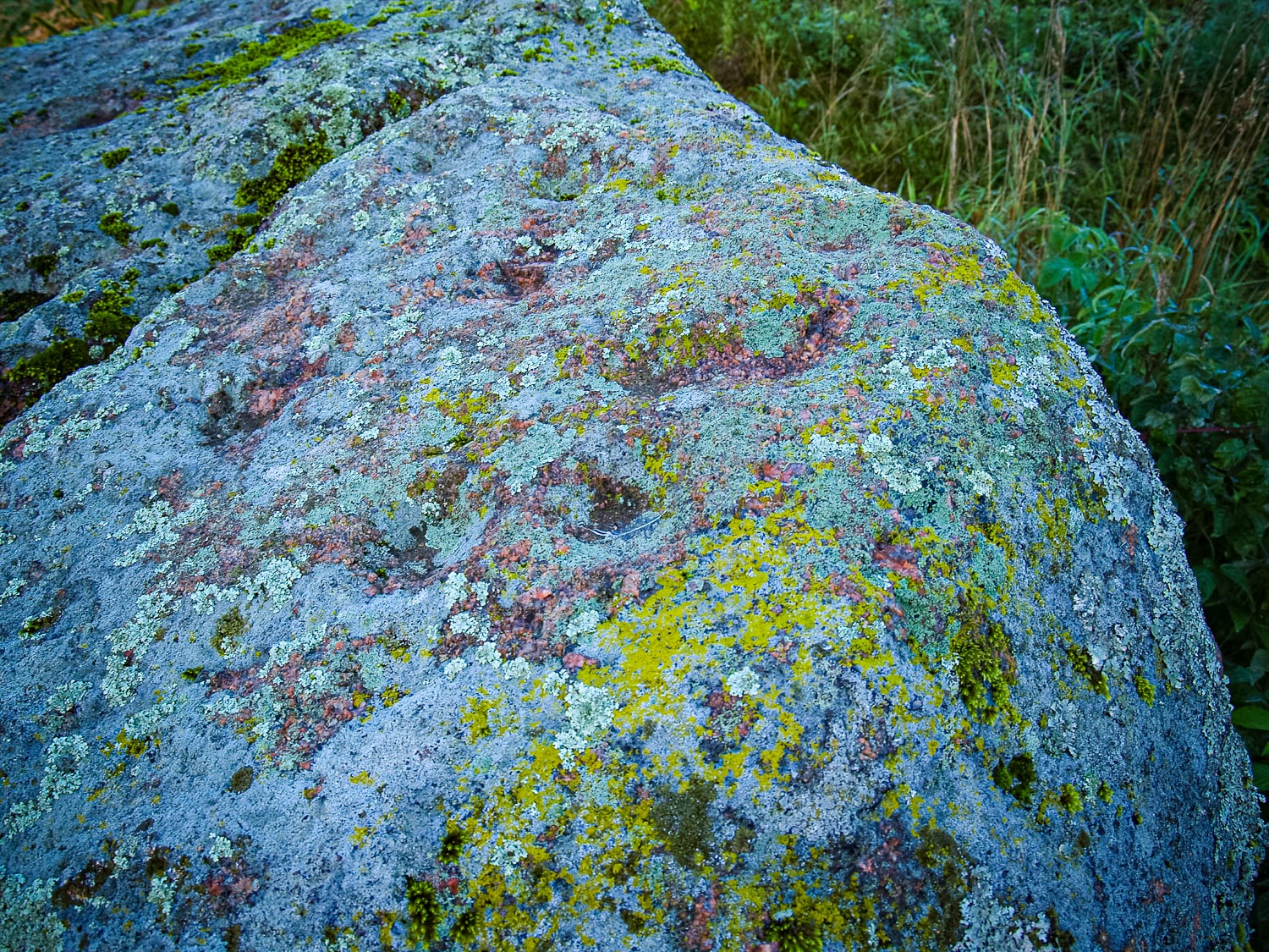
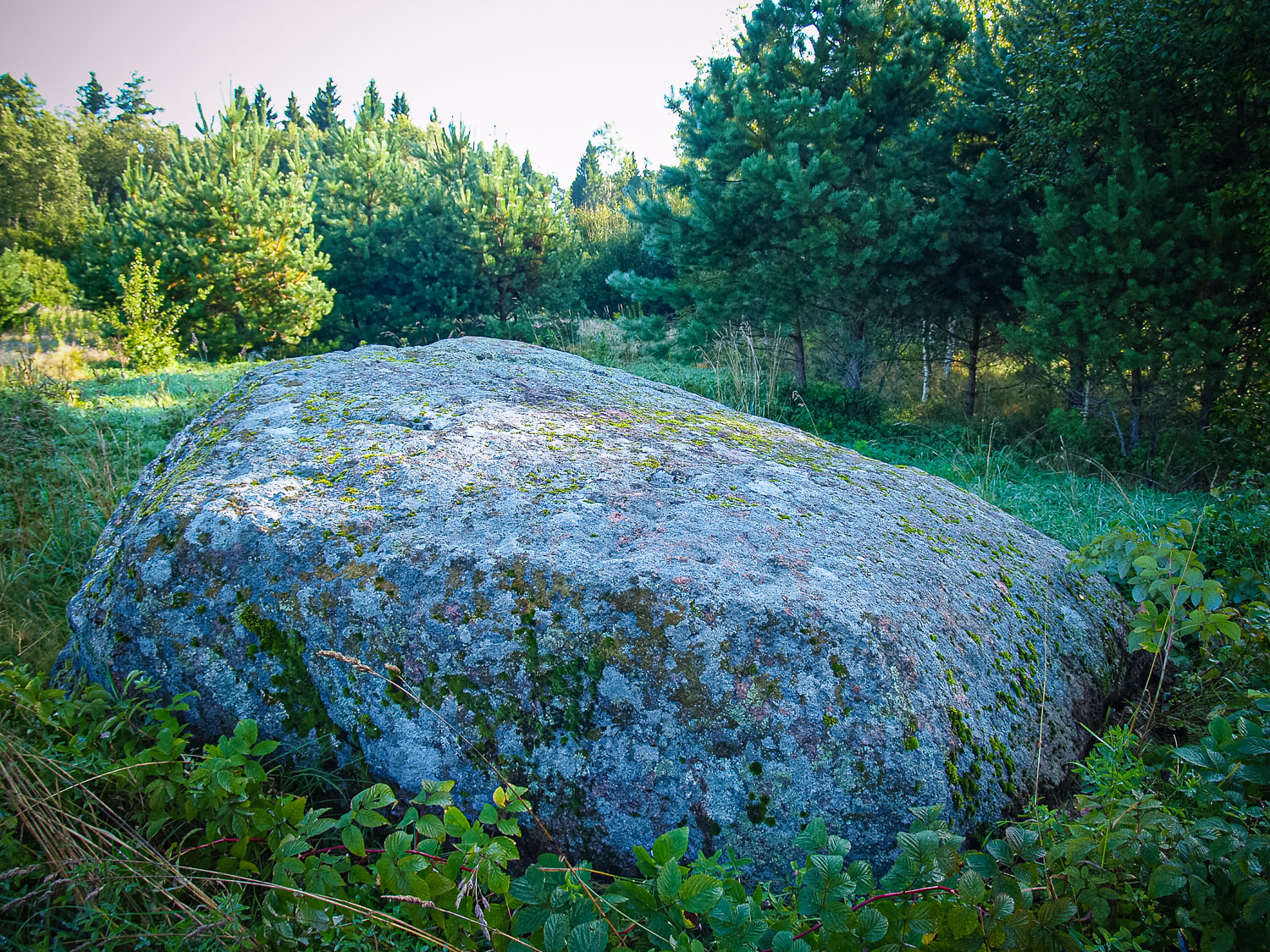
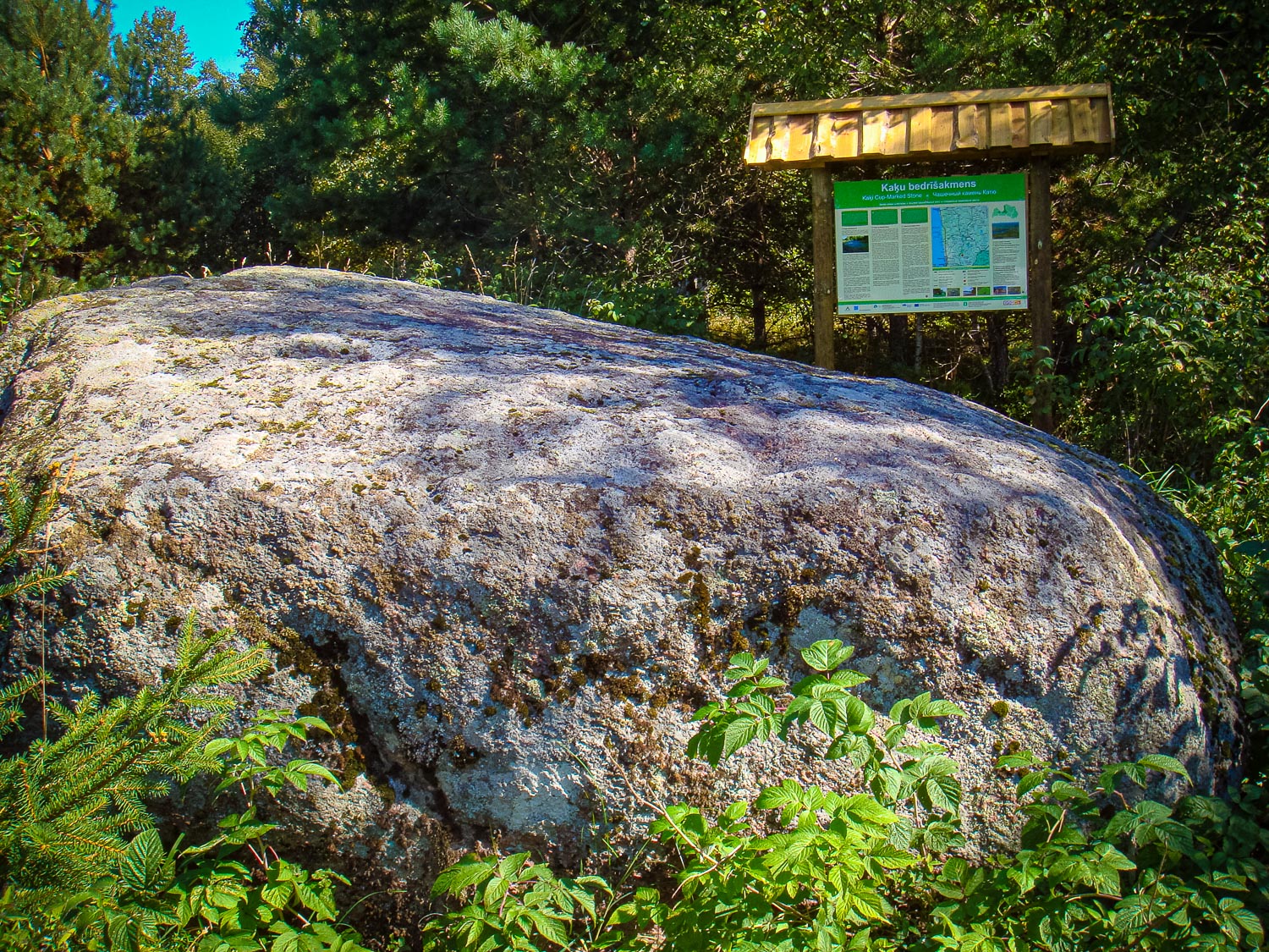
Between the stone and the Kaķi homestead, there is a valley overgrown by trees. The stone is located on the right bank of the Aģe River, at the verge of the river’s gently sloping valley in the middle of the overgrown meadows, at the verge of the forest. The length of the stone is 3.25 m, width — 3 m, circumference — 11.8 m, the overground volume — about 6 m3. On the surface of the Kaķi Stone, there are approximately 80 cup marks made, the depth of which is 3–10 cm. Along the A side of the stone lengthwise, there is a 6-8 cm deep and the same wide groove carved. Influenced by modern time traditions, the stone is also called the Mēness akmens (Moon Stone). In the cup marks of the stone at the time of the visit, there were small coins found.
In a straight line, the stone is situated about 0.5 km SW of the Kaķi homestead used as a summer house, that is why it is not advisable to start looking for the stone by using the homestead as a landmark.