Location
State: Latvia
Region: Zemgale
County: Salas
Parish: Sēlpils
Other references to the location
150 m direction SSW from “Ezernieki” home, in a wet and small forest, 75 m from the road and 30 m from the edge of the field. A small trail leads to the trail, and once there was a sign leading the way at the origin of the trail.
Coordinates
lat=56.5894444444, lon=25.7038888889
56° 35′ 21″ N, 25° 42′ 14″ E
Description
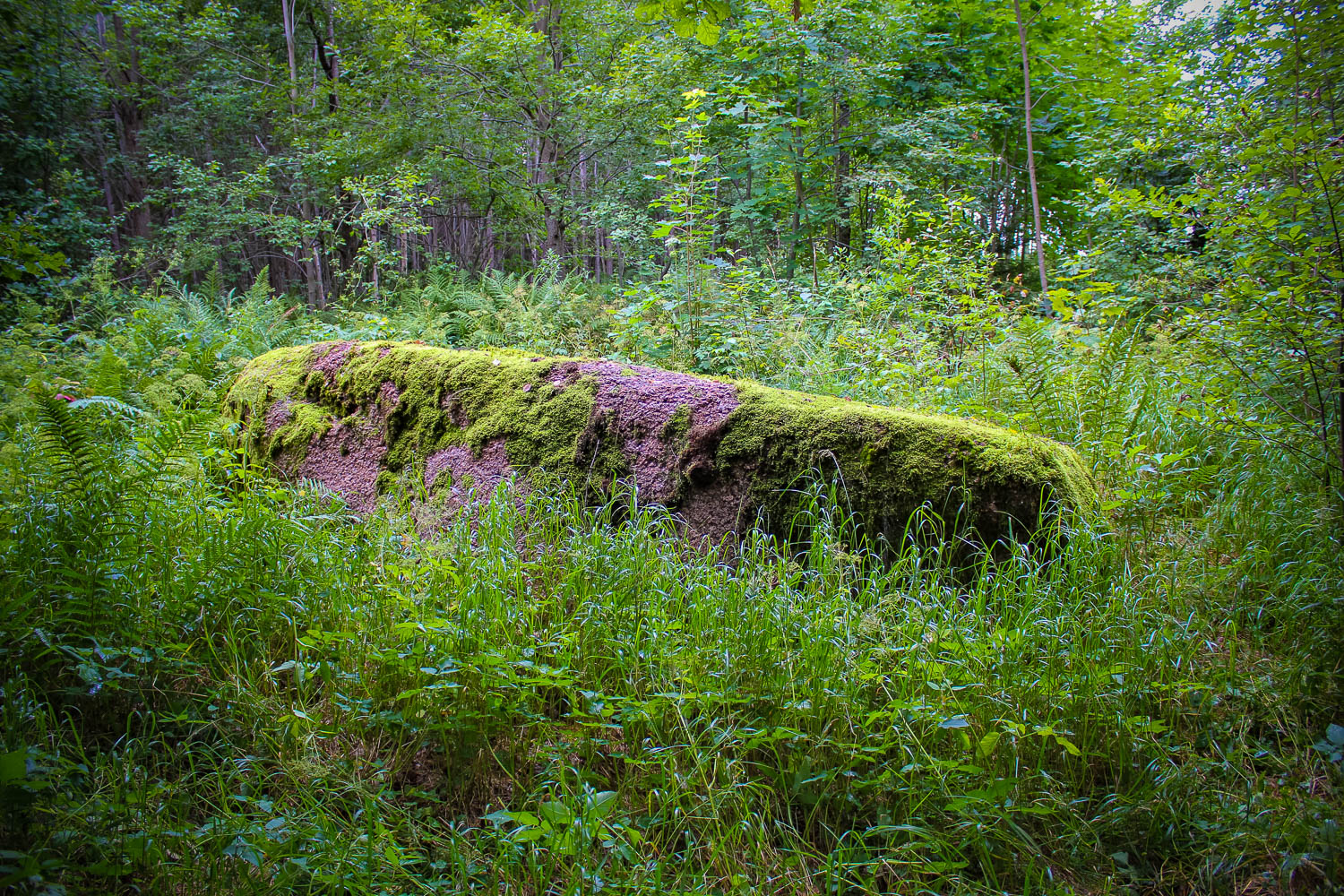
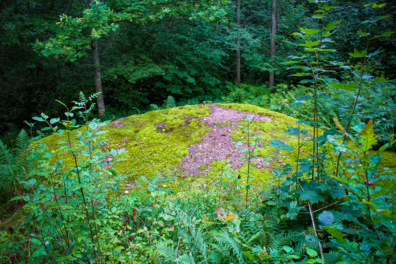
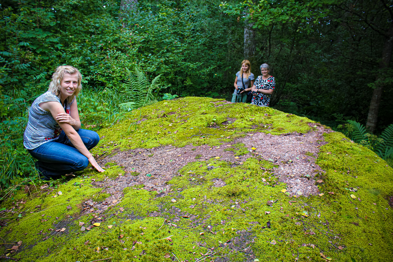
Dimensions of the stone: 6,8 x 3,6 x 1,3 m, circumference – 16,40 m, volume – 16 m3. In terms of size it is a secular stone. Large-grained red rapakivi granite.
Narrative
People tell the Devil had sat on the stone, where he had combed his fur and loused himself. There are several, different by size, hollows on the surface of the stone. Next to a large jag there are two smaller cups, which are 2 and 4 cm deep. Close to this place there are two flat hollows, which could also be of artificial origin. The Devil’s Stone may be regarded a cup-marked stone – in total there are five small cupmarks on its surface.
Attraction
Average.
Availability
Rather easy accessible.
Infrastructure, management, facilities
No tourism infrastructure in direct vicinity. Krustpils town and Jekabpils city are most closely laying towns. In Krustpils town and Jekabpils city (located next to each other; the River Daugava flows in between of them) there are accommodation and c
Local info
No information.
Capacity
10 – 40
Publicity
Popular
Legal Status
Private
Comments
Archaeology monument – cult site. Often described in academic and tourism sources.