Location
State: Latvia
Region: Kurzeme
County: Talsi
Parish: Abava
Other references to the location
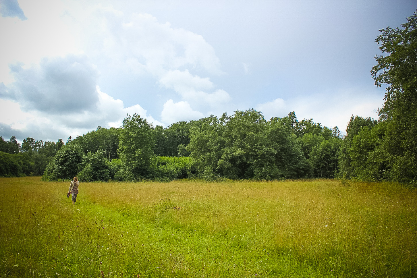
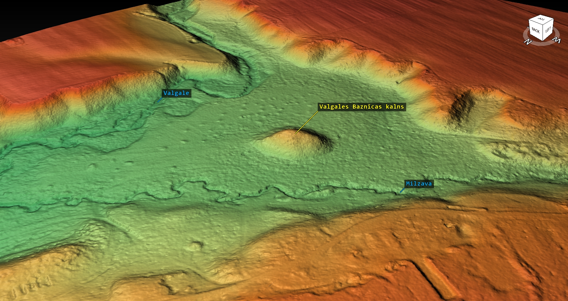
2 km NW from the Valgale village, in the valley of the Valgale River, the protuberance of the left side main riverbank, opposite the Valgale Hill Fort.
Coordinates
lat=57.0633833333, lon=22.4517833333
57° 3′ 48″ N, 22° 27′ 6″ E
Description
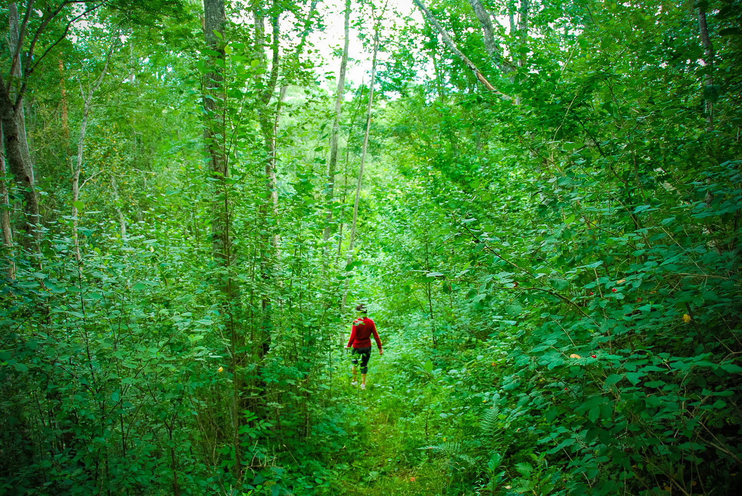
The protuberance of the main riverbank overgrown with trees, about 10 meters high, between two ravines of the small rivers. The hill has not been artificially modified. At its foot, there are alluvial meadows where archaeologists have discovered cairns. It is evidence that on this site ancient agriculture was developed. Stones had been taken away from areas where fields were laid out.
Narrative
According to a tale, on the hill there used to be a church; when it collapsed its bell rolled down the hill and was taken to Sabile. The tale is quite traditional, which proves that on the hill there was some ancient site. It is presumed that its origin is attributed to the hill fort located on the opposite riverbank, but it has not yet been archaeologically proved. On the hill, no remains of a building or foundation have been found. The church hill nowadays is used as a neo-pagan holy site.
Attraction
Some
Availability
Difficult to access. There are no information signs.
Infrastructure, management, facilities
There have been no facilitation and maintenance works performed within the territory, no indication signs.
Local info
There is no information stand on site
Capacity
0 – 9
Publicity
Known
Legal Status
Private
Comments
On the opposite bank of the Valgale River, there is a visually inexpressive Valgale Hill Fort, which has suffered a lot in the course of time. But in the valley between both hills, there are cairns of the 3rd –7th centuries heaped when cultivating agricultural land.