Location
State: Latvia
Region: Riga
County: Jaunpils
Parish: Viesata
Other references to the location
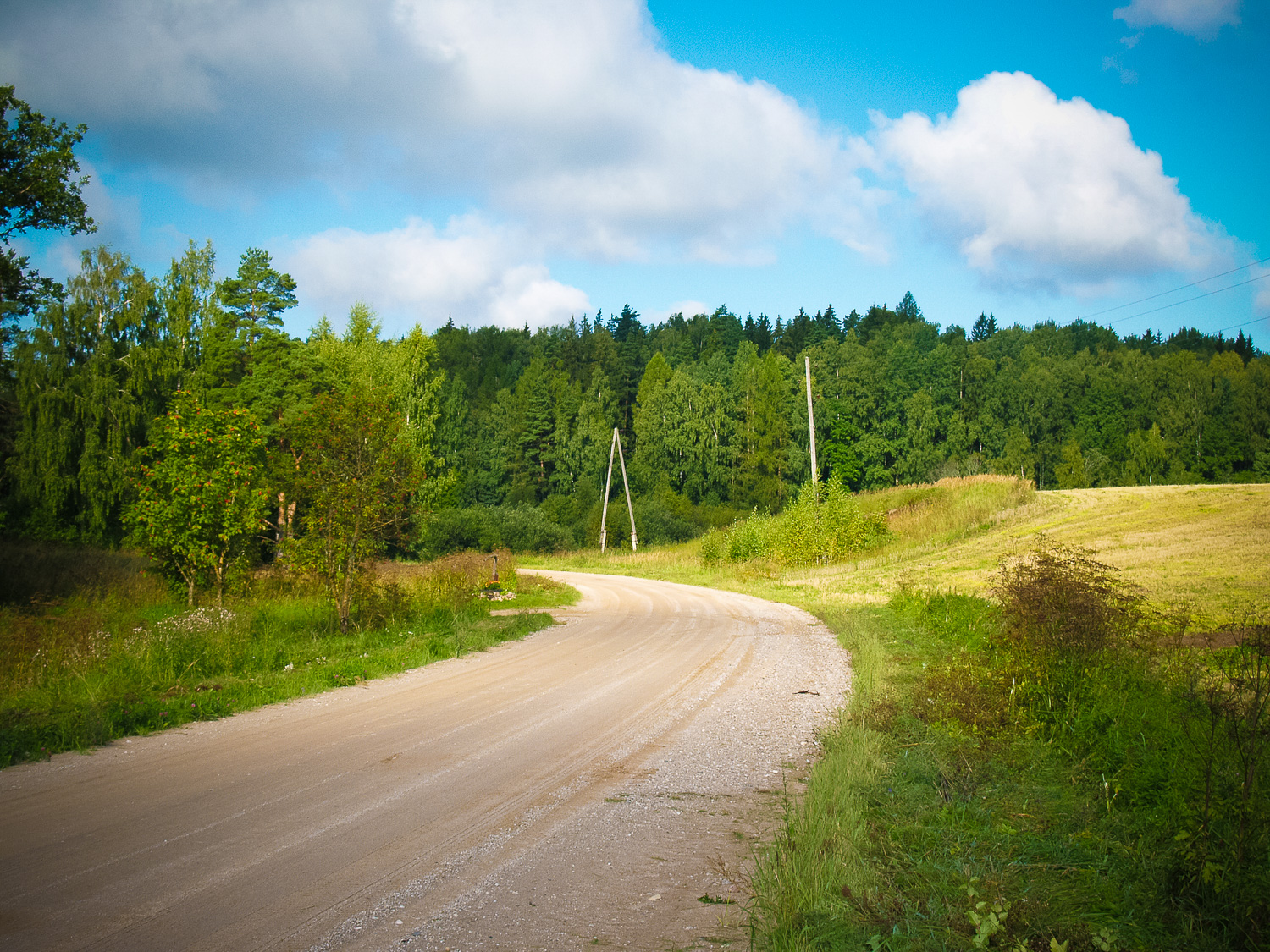
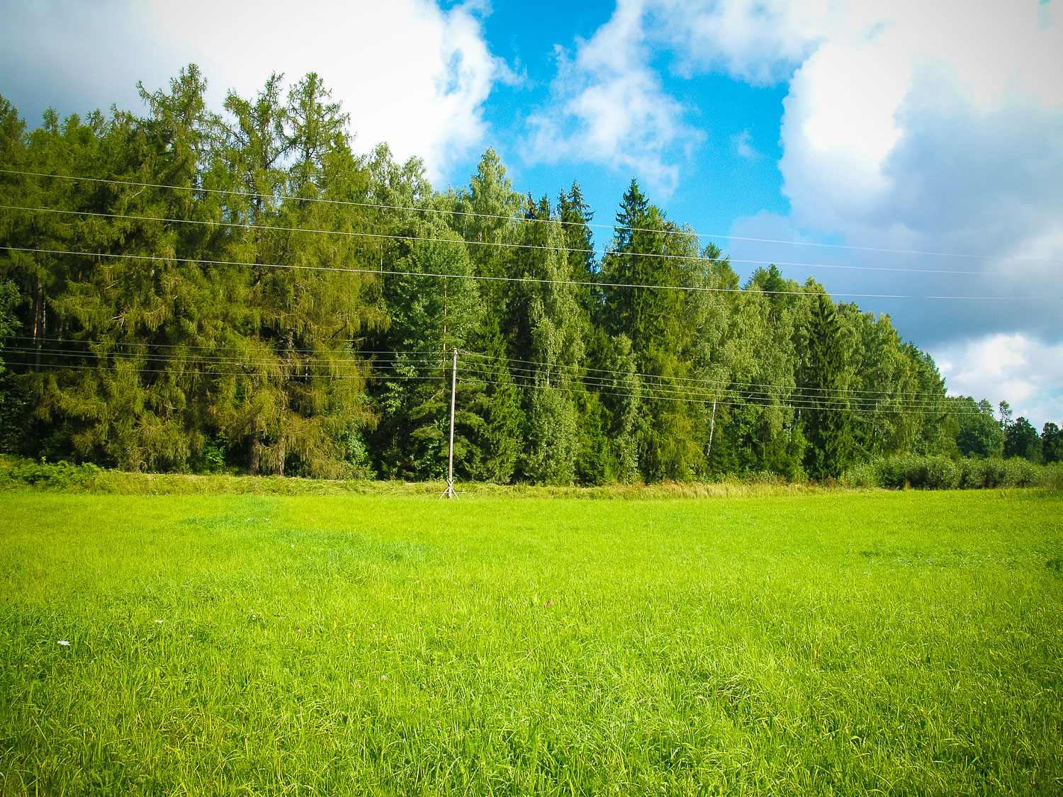
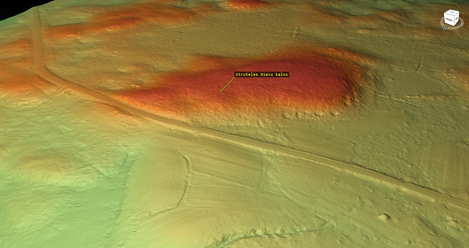
About 0.5 km NE from Strutele, on the right side of the Strutele – Viesata highway.
Coordinates
lat=56.7927777778, lon=22.9113888889
56° 47′ 34″ N, 22° 54′ 41″ E
Description
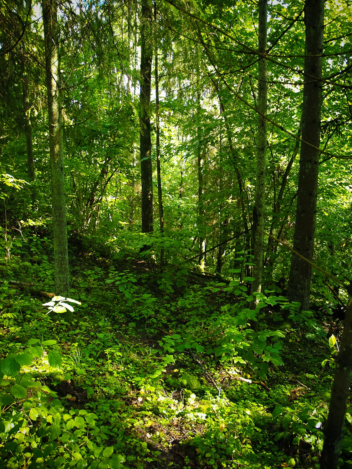
Gods’ Hill (Dieva kalns, Dievkalns) is well visible from the side of Strutele manor. The Gods’ Hill is a wide and high relief elevation or massive with its steepest slope towards Strutele and a gentler other slope. No hill relief transformations were found. On the top of peak there are remains of a triangular tower in the form of the land survey marker, however, at the E foot of the hill towards Strutele there are several bunker and trench holes from World War II. The hill is covered with mixed trees and thick underbrush. On the side of the hill towards the highway there are big larches, which most likely are linked with the former Strutele manor park arrangements. In earlier times, when expanding the highway at the foot of the Gods’ Hill no archeological evidences were found. The sacred meaning of the hill is suggested just by its name.
Attraction
Unattractive
Availability
On the side of the road, but in the forest with underbrush
Infrastructure, management, facilities
None
Local info
None
Capacity
0 – 9
Publicity
Unknown
Legal Status
Property of State
Comments
There are no directions to the Gods’ Hill, but the sign placed by Latvijas Valsts Meži at the road side. The hill is covered with a deciduous tree forest with very thick underbrush thus it is very difficult to walk across the hill.