Location
State: Latvia
Region: Riga
County: Salacgrīva
Parish: Salacgrīva
Other references to the location
On the right bank of the Svētupe River by Kuiķuļi
Coordinates
lat=57.7147222222, lon=24.4886111111
57° 42′ 52″ N, 24° 29′ 18″ E
Description
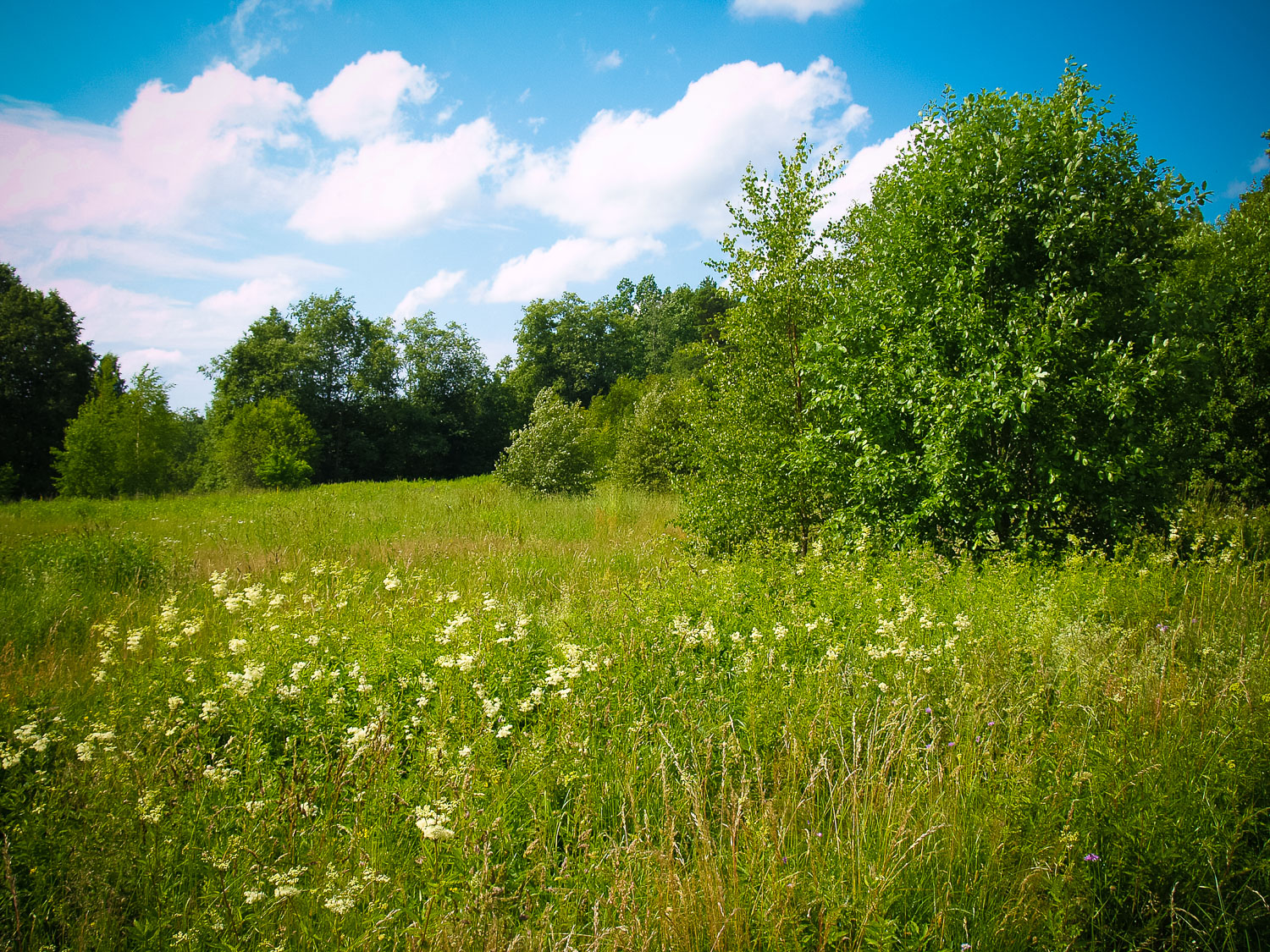
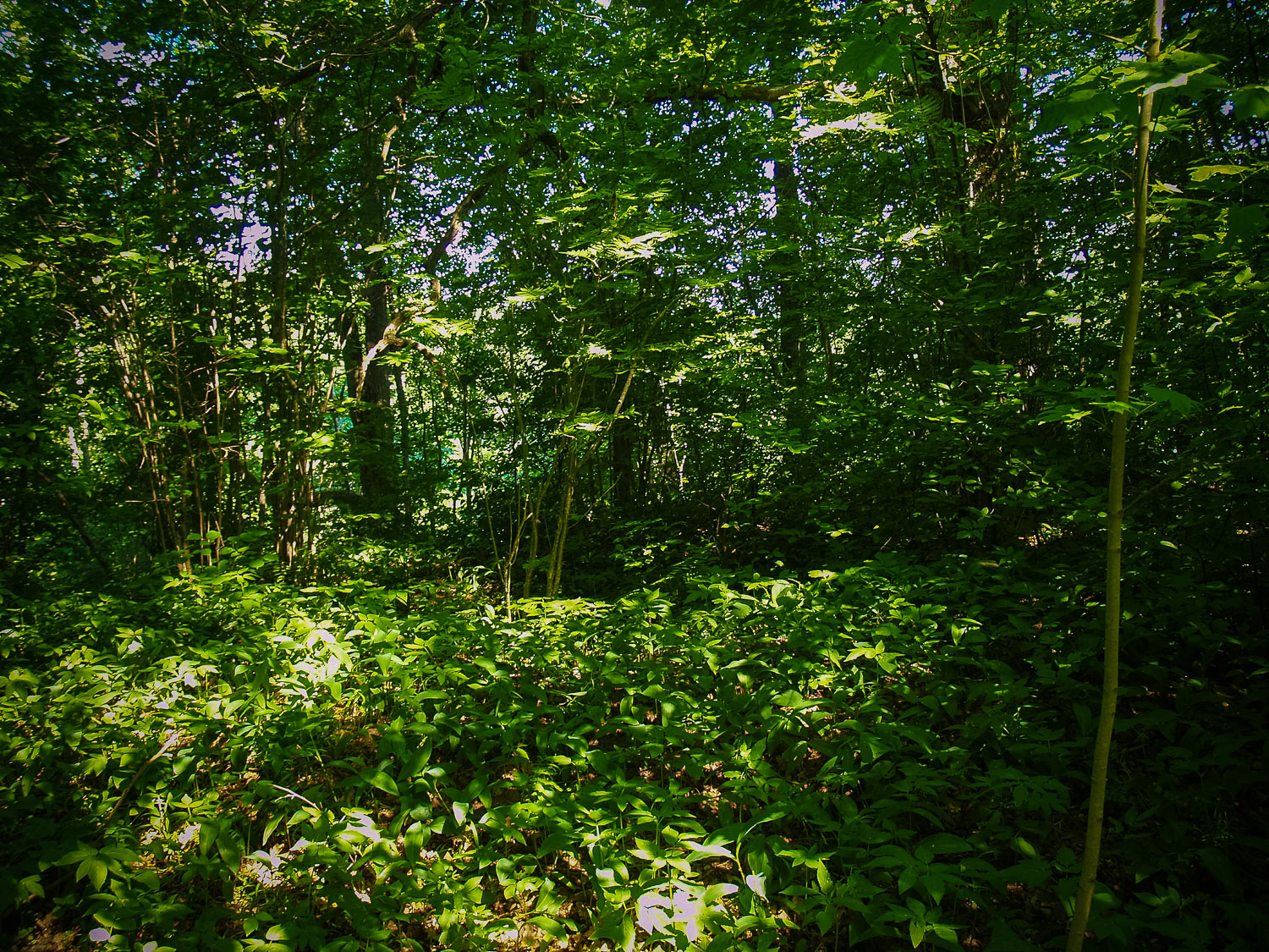
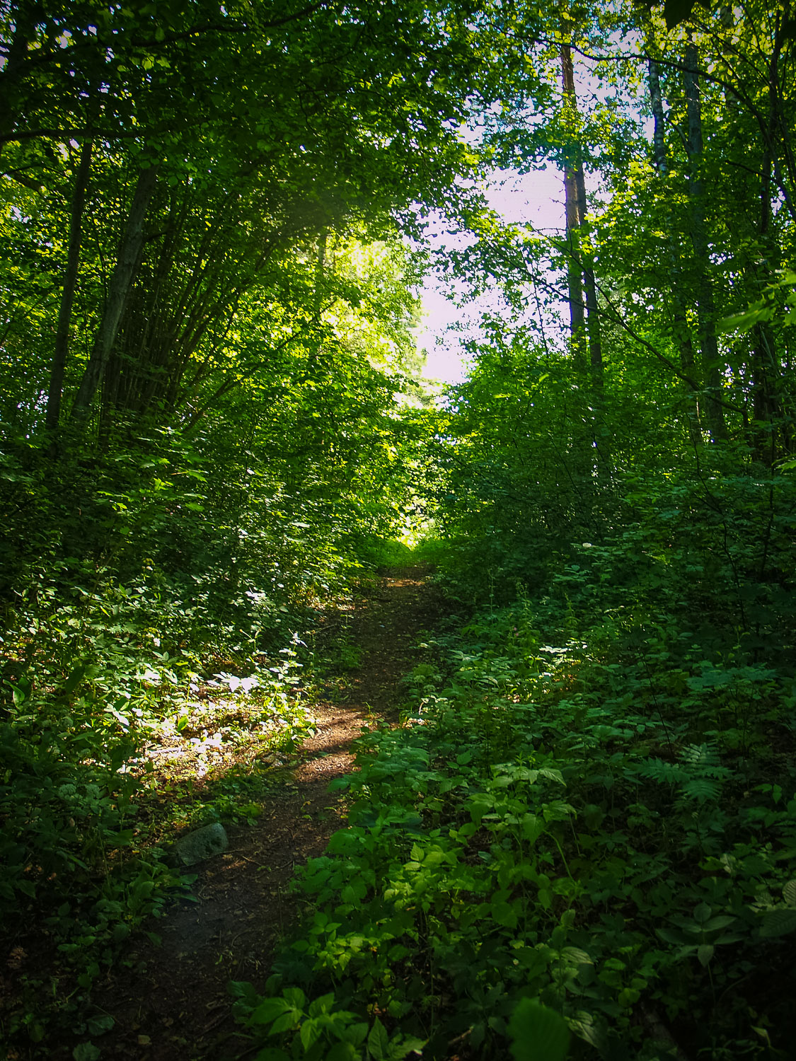
Along the Svētupe River upwards from the Liv Sacrificial Caves, there is a path leading to a kitchen garden. In older times, the whole wide bight of the Svētupe River was occupied by fields. Nowadays you can perceive along the steep slope of the Svētupe river traces of an ancient road and by its outside – an edge of a field overgrown by bush. Further downwards, the ancient road divides into two roads, which have deeply gnawed into the slope expanding downwards to the Svētupe bight. The Holy Grove, apparently, used to be situated at the verge of the steep slope by the roads. Now the site has been overgrown by bush and trees, it is featured by one larger oak at the verge of the river’s steep slope, which, although, has not yet reached the size of a Great Oak. At the edge of the slope, there are a couple of ancient digging places. The Grove’s Site does not stand against the relief in any way. The composition of the ground — reddish sand, ash remains could not be traced. In the archaelogical excavations of 1973 lead by J. Urtāns, there was an ash layer of up to 0.3 m deep discovered possibly from the burnt down oak trees. According to tales, in the cavities of those oaks, they used to put offerings. From the steep slope, which further turns into a sandstone cliff, a broad view to the Kuiķuļi bight opens.
Attraction
Unattractive
Availability
At the edge of the road, but one has to cross a private property prohibiting to pass through.
Infrastructure, management, facilities
None
Local info
None
Capacity
0 – 9
Publicity
Unknown
Legal Status
Property of State
Comments
If the Liv Sacrificial Caves have been immensely promoted, then the Kuiķuļi Holy Grove has no public signs.