Location
State: Latvia
Region: Kurzeme
County: Priekule
Parish: Priekule
Other references to the location
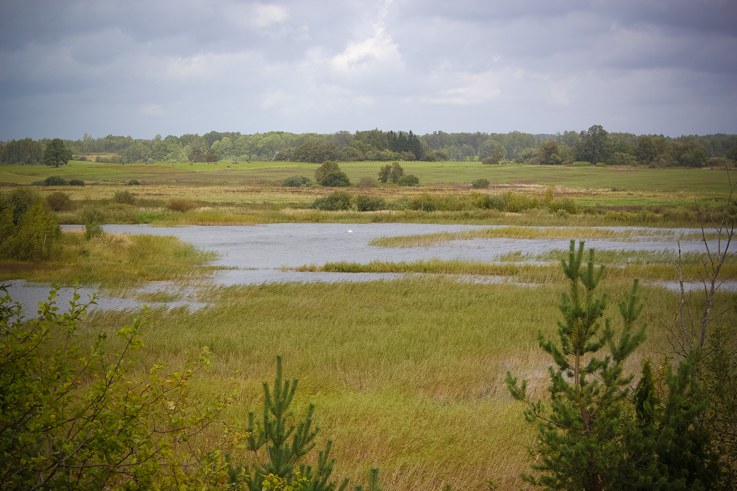
On the left side of the Priekule–Skoda highway, about 3 km from Priekule, in the drained meadows of the Birztala River tributary between Dārznieki and Saulītēni homesteads, around 0.5 km E from the highway, 460 m S from a rural gravel road.
Coordinates
lat=56.4207333333, lon=21.6198833333
56° 25′ 14″ N, 21° 37′ 11″ E
Description
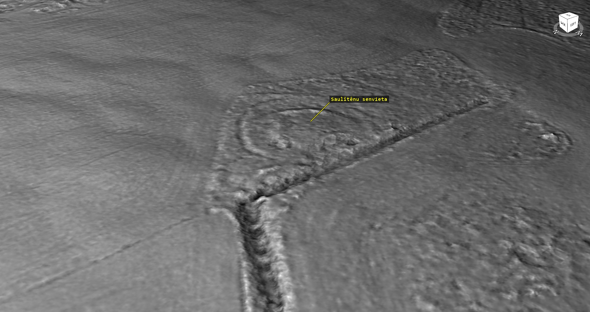
The Saulītēni ancient site, also called the Pilspurvs Hill, rises about 1.5 m above the surrounding meadows and fields. It is to be considered a fortified ancient site because previously there have been more marked fortifications which were ploughed away and levelled off over time. The elevation amidst meadows is outlined by some bushes and two rather big rowan-trees.
Narrative
Various versions have been expressed about the Saulītēni ancient site – both about it as a hillfort as well as an ancient cult site. Its role is still to be found out in the future. From the Pilspurvs Hill, on the other side of the fields, towards NW-W, an elevation with Dārznieki ancient burial site can be seen.
Attraction
Some
Availability
Rather easily accessible. There are no information signs. One should walk across the meadow approximately 0.5 km away from the highway. It lies eastwards between Dārznieki and Saulītēni homestead.
Infrastructure, management, facilities
There have been no facilitation and maintenance works performed within the territory, no indication signs.
Local info
There is no information stand on site
Capacity
10 – 40
Publicity
Known
Legal Status
Private