Location
State: Latvia
Region: Kurzeme
County: Saldus
Parish: Ezere
Other references to the location
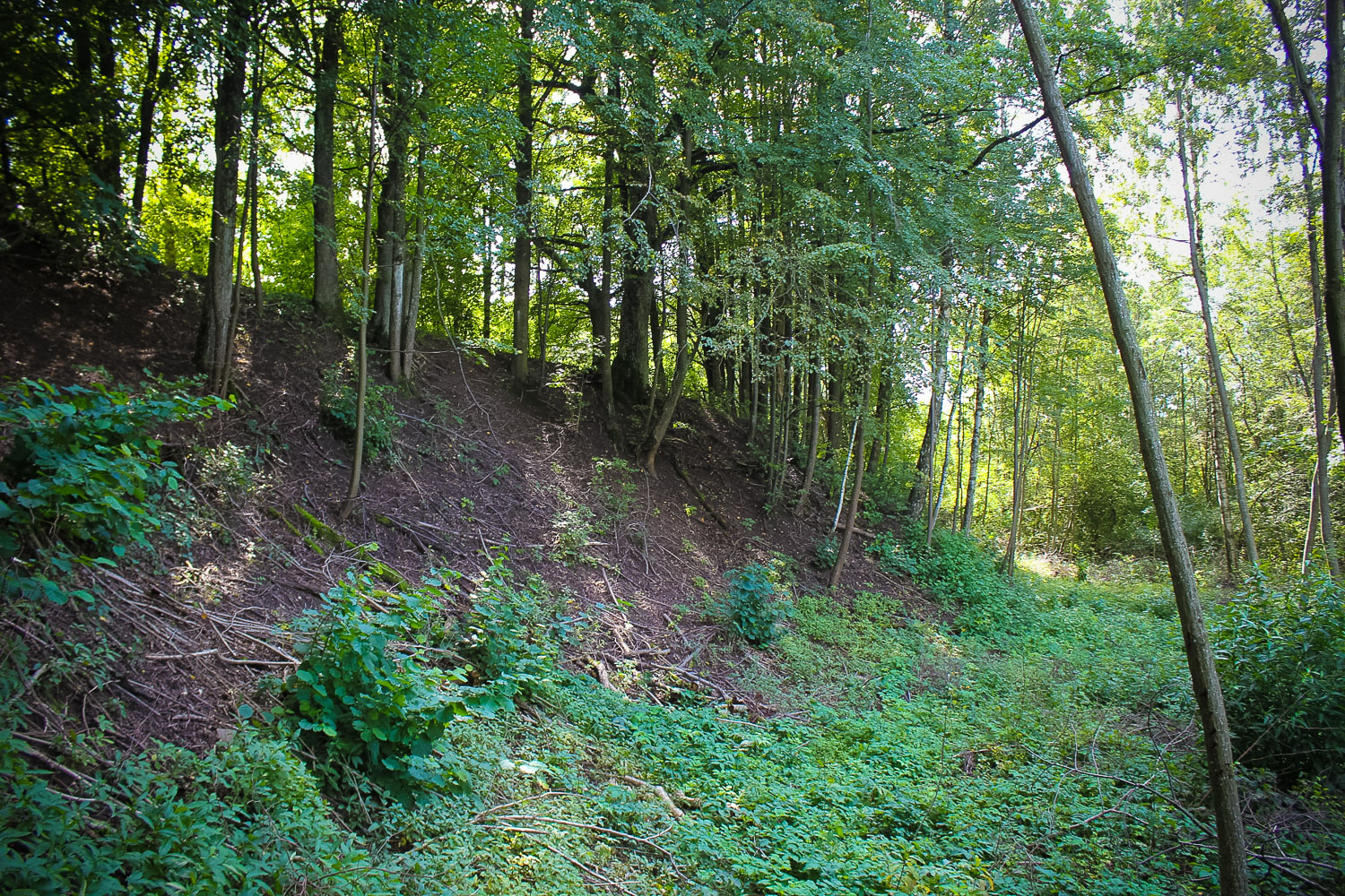
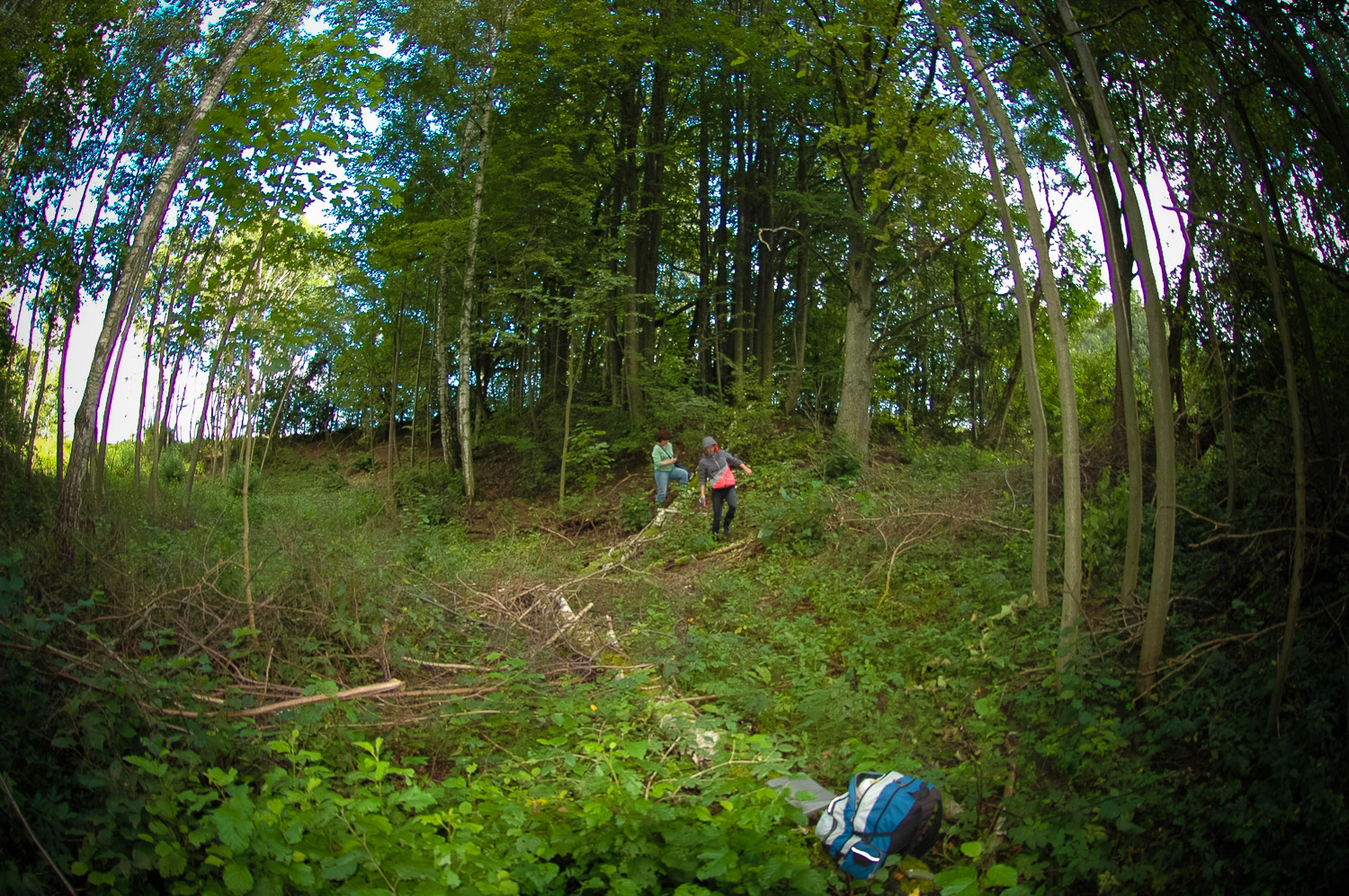
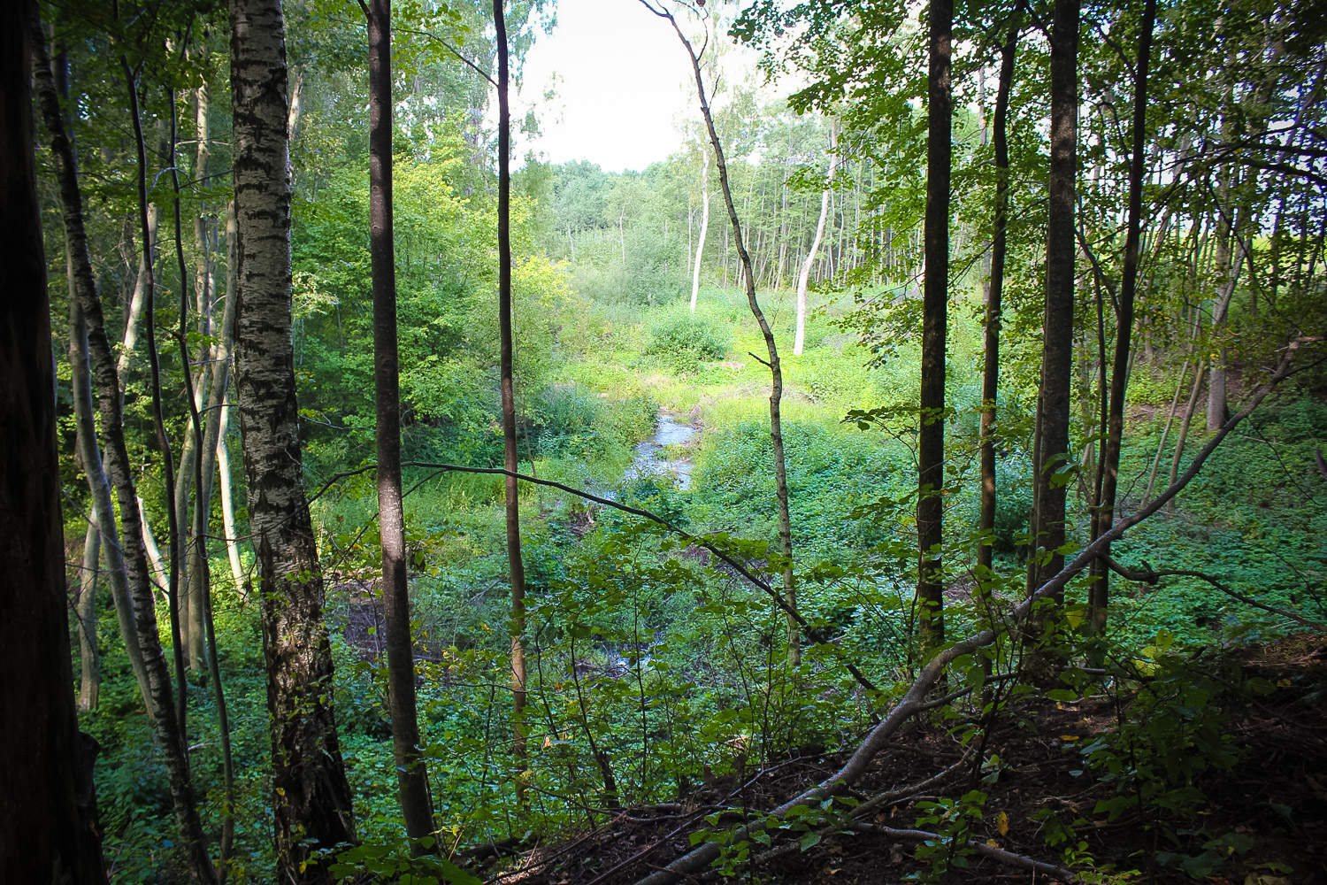
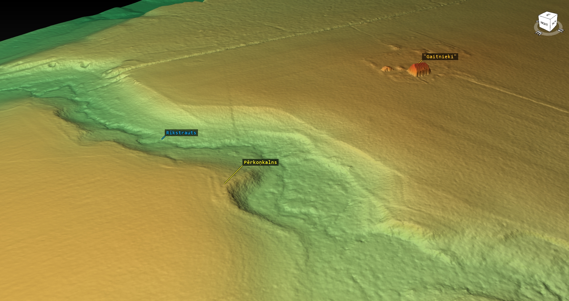
5 km W from Ezere, on the left bank of the Rīkstrauts (protuberance of the bedrock coast), in the lower reaches of the spring, not far from the place where the spring falls into the Vadakste River. Next to the Pērkoņkalns Hill the spring acquires a deep valley and many stones appear in the bed of the spring, which, according to legends, were thrown there by the Devil. Next to the Pērkoņkalns Hill the upper part of the spring bank passes into cultivated agricultural lands. The nearest homestead (Gaitnieki) is around 250 m W in an air line from the Pērkoņkalns Hill.
Coordinates
lat=56.41315, lon=22.2915666667
56° 24′ 47″ N, 22° 17′ 29″ E
Description
Covered by trees; mostly linden trees – rather young, sprout-type.
Attraction
Some
Availability
Rather difficult to access. There are no information signs. The stone lies in a bushy valley of a river, in the forest. The site can be found in about 250 m W from Gaitnieki (former Mežūbulaiši) homestead on the bank of the Rīkstrauts River, in bushes.
Infrastructure, management, facilities
There have been no facilitation and maintenance works performed within the territory, no indication signs.
Local info
The on-site information is provided by the owner of the Gaitnieki homestead Ārija Mūrniece who lives
Capacity
0 – 9
Publicity
Known
Legal Status
Private
Comments
The first published data about the Pērkoņkalns Hill (Thunder Hill) were published in the folklore collection “Welcome to Saldus” (“Sveicināti Saldū”) selected and compiled by Māra Vīksna, – Rīga, Zinātne, 2010.