Location
State: Latvia
Region: Kurzeme
County: Dundaga
Parish: Dundaga
Other references to the location
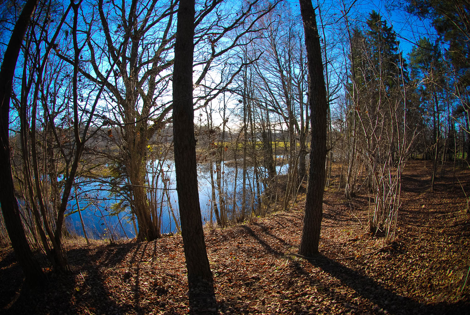
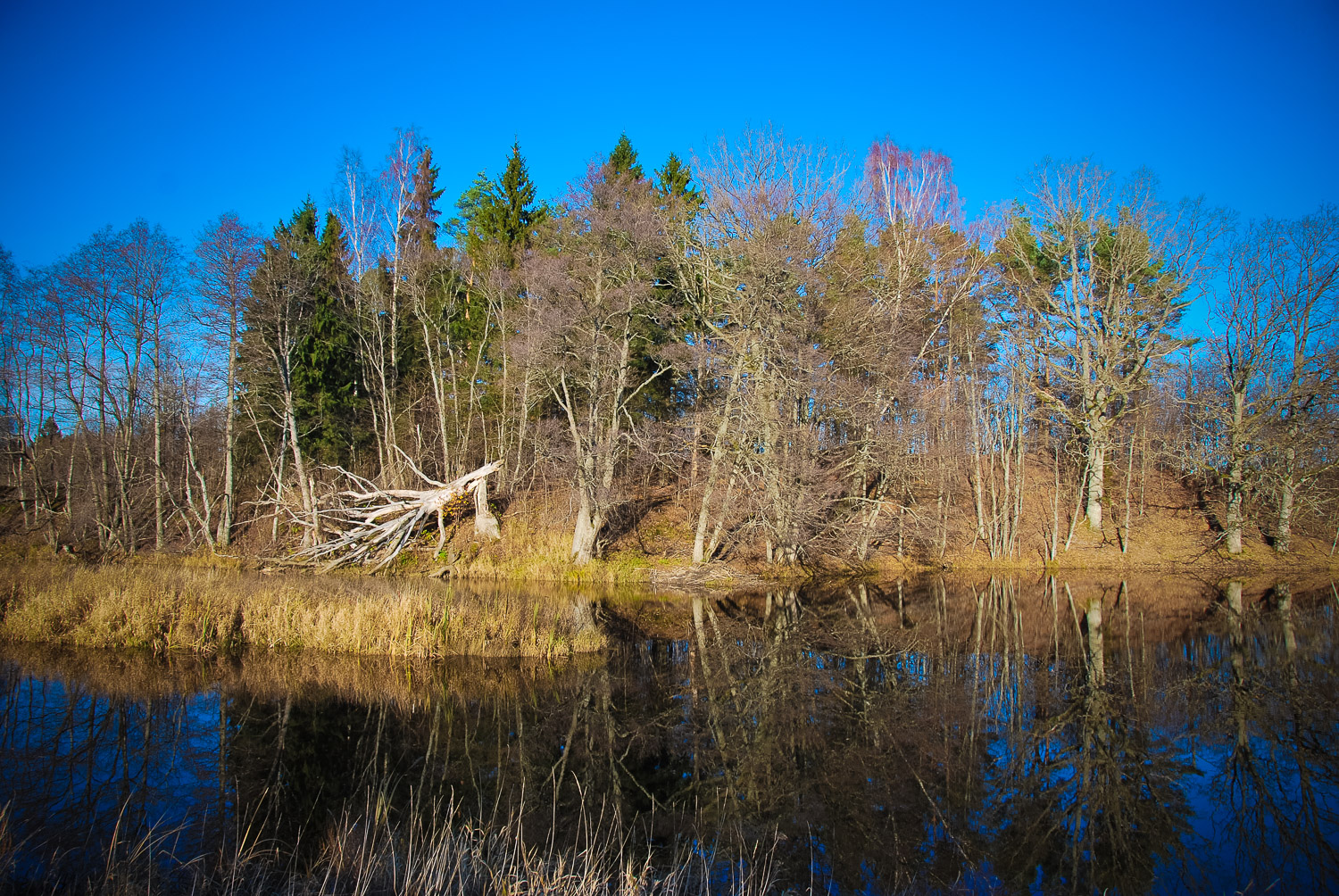
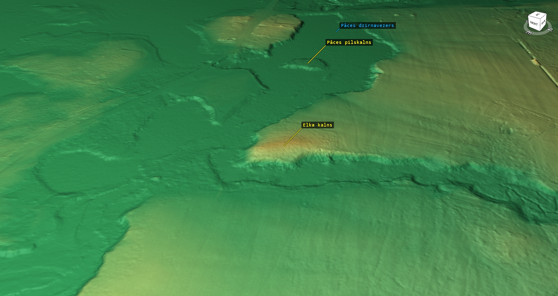
250 m upwards the Pāce Hill Fort (NE – E of it), on the right or northern bank of the Pāce River’s mill pond, downwards the estuary of the Dīķkalni River, about 400 m of the Elkkalni homestead.
Coordinates
lat=57.4992333333, lon=22.28365
57° 29′ 57″ N, 22° 17′ 1″ E
Description
An ancient cult hill, which, most likely, is related to the nearby hill fort as a corresponding cult site. It is a distinguished, up to 7 – 8 meters high, short 100 m wide and long elevation at the corner of the junction of two rivers. Nowadays overgrown with trees. Once a bigger and older oak also grew on the hillside, but recently it had perished by coming down.
Narrative
It is supposed that it is a cult site corresponding to the Pāce Hill Fort. It has not been studied archaeologically, thus there is little concrete news.
Attraction
Some
Availability
Quite easily accessible. There are no information signs.The object is located in a pine tree and deciduous tree forest crossing the war time trenches. One must go on foot across the meadow 400 m of the Elkkalni homestead.
Infrastructure, management, facilities
There have been no facilitation and maintenance works performed within the territory, no indication signs
Local info
There is no information stand on site
Capacity
10 – 40
Publicity
Known
Legal Status
Private
Comments
The nearby Pāce Hill Fort is located in the middle of the water storage and is accessible by taking a boat or going on ice in winter time.It is worth seeing the nearby mighty secular oak tree growing on the opposite bank of the Pāce River not far from the Pāce – Dundaga road.