Location
State: Latvia
Region: Kurzeme
County: Aizpute
Parish: Aizpute
Other references to the location
Approximately 2.5 km S from the Aizpute centre, at the bottom of the Orms’ Hill (Ormaņkalns Hill) hillfort slope, on the left bank of the Tebra River.
Coordinates
lat=56.6992166667, lon=21.6142833333
56° 41′ 57″ N, 21° 36′ 51″ E
Description
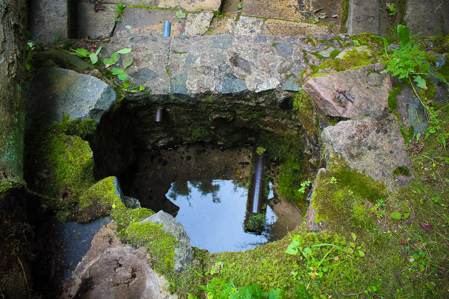
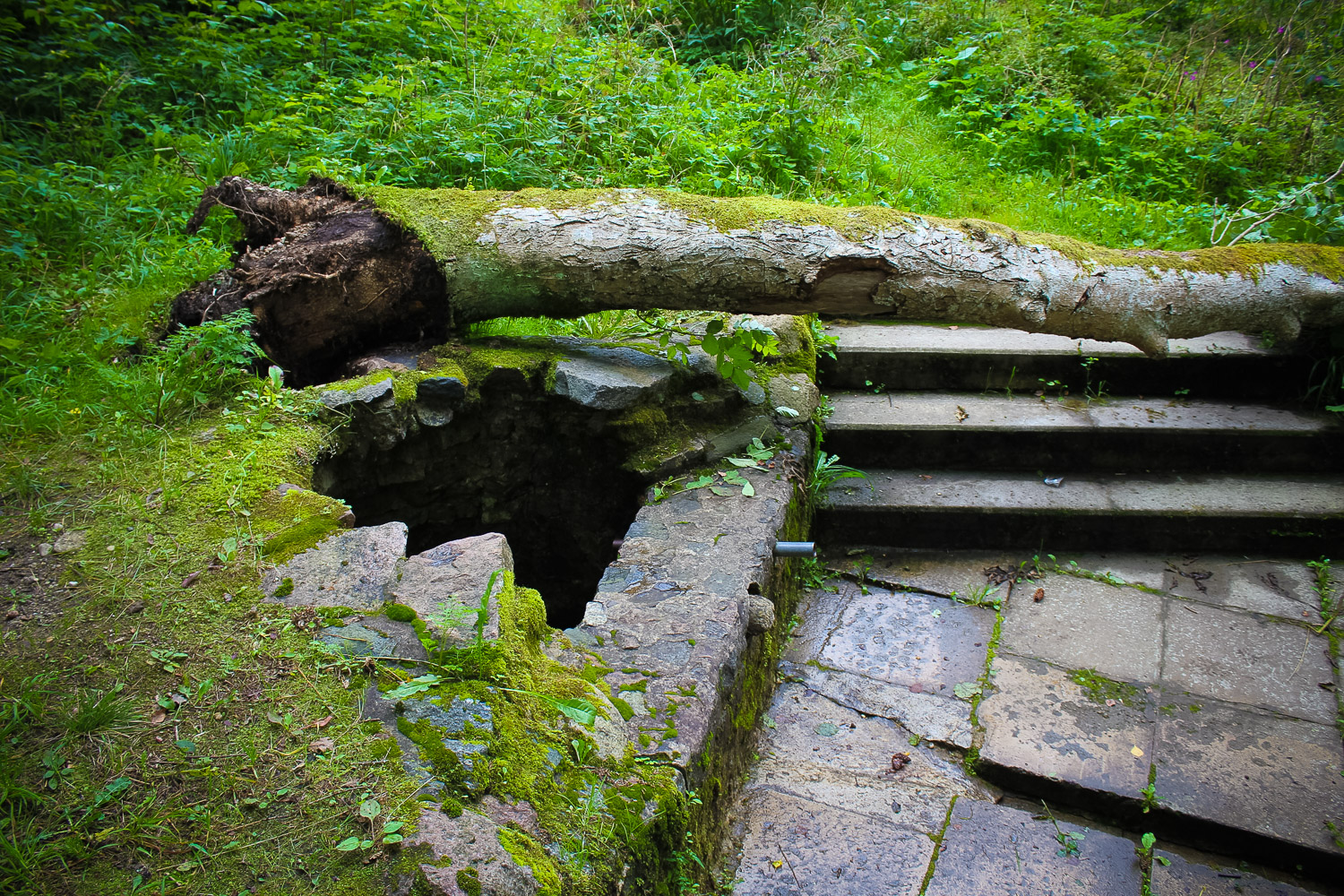
The spring has been made convenient for accessing – there is a masonry discharge point which can be reached by taking four steps downwards. The discharge point is like a small well from which the climbing spring starts its way. When flowing out the spring creates a small sand bubble in the bottom of the well. From the discharge point to the river there are 30 metres.
Narrative
Once the spring used to be called Health Spring or Springlet, now it is simply a spring from which potable water is taken. As the spring is located next to a hillfort, it can be assumed that it as a place for obtaining potable water was used already when the hillfort was populated.
Attraction
Average
Availability
Rather easily accessible. The site can be reached by driving up to the Orms Hill (Ormaņkalns Hill) by following the sign „***” (three asterisks) up to a small square in the forest. Further one should walk along an overgrown road 300 m down the hillfort slope.
Infrastructure, management, facilities
A small information sign in the intersection of forest roads. The discharge place of the spring has been concreted and facilitated – possibly during the Soviet years or even before that.
Local info
There is no information stand on site
Capacity
0 – 9
Publicity
Known
Legal Status
Legal entity
Comments
The land property which encompasses the spring was private in the spring of 2012, however, it was under the ban from a bank regarding its expropriation; thus currently it is under the tenure of a legal person – the bank.