Location
State: Latvia
Region: Vidzeme
County: Kocēni
Parish: Kocēni
Other references to the location
1.7 km south-west of Kocēni, 180 m north-east of the Kalna Cimpēni, on the right side of the Kocēni–Cimpēni road, in the woods. On the right bank of the Tilgaļi brook (Cimpēni River, Silupīte River), opposite the Cimpēni Hill Fort.
Coordinates
lat=57.5130555556, lon=25.3075
57° 30′ 47″ N, 25° 18′ 27″ E
Description
Arguments supporting the fact that it used to be an ancient cult site are related only to its name, as well as its close location to the Cimpēni Hill Fort — in older times near such inhabited places there used to be sacred sites. The research was carried out by V. D. Balodis, although there have been no specific artefacts found related to cult objects. Other nearby objects: Cimpēni Hill Fort, Vītolēni Devil’s Watch.
Narrative
It is also called the Ezerkalns, Ogkalns, Okalns, Oskalns, Cimpēni Hill, located opposite the Cimpēni Hill Fort on the right bank of the Jumara River within the territory of the Kocēni Parish. The hill’s soil consists of red rock. The people’s opinion is that it used to be an idols’, ancestors’ cult hill.” (K. Bukums. Place Names (Vietvārdi)) “On the other side of the river the second hill is situated with a special passover, it is believed to be an idols’ hill that are many around there, almost at all hill forts. The hill is called the Ezerkalns, Ogkalns, Okalns, Cimpēni Hill. The Idols’ Hill is located within the territory of the Silupīte of Kokmuiža. The soil of the hill is soft, red sandstone.” (V. D. Balodis. Jumera’s Valley and its Remarkable Sites” (Jumeras leja un viņas ievērojamas vietas))
Attraction
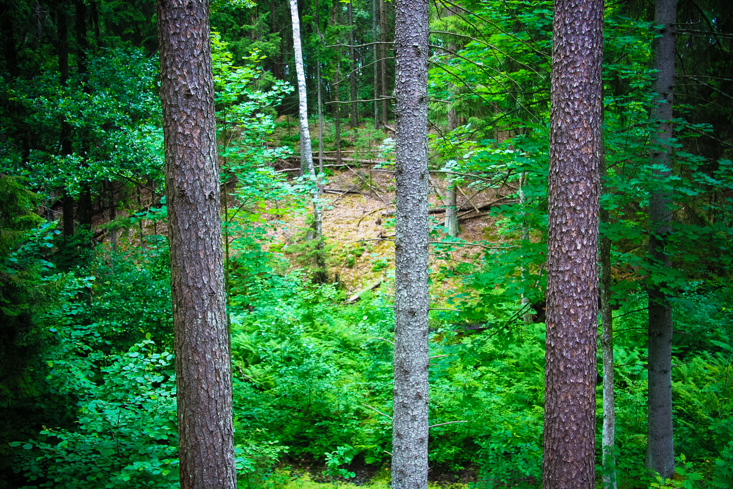
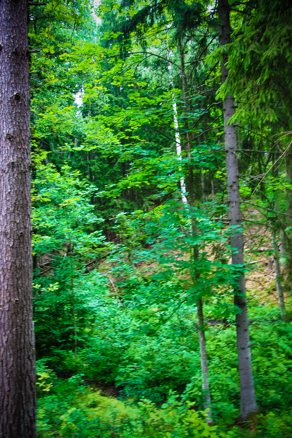
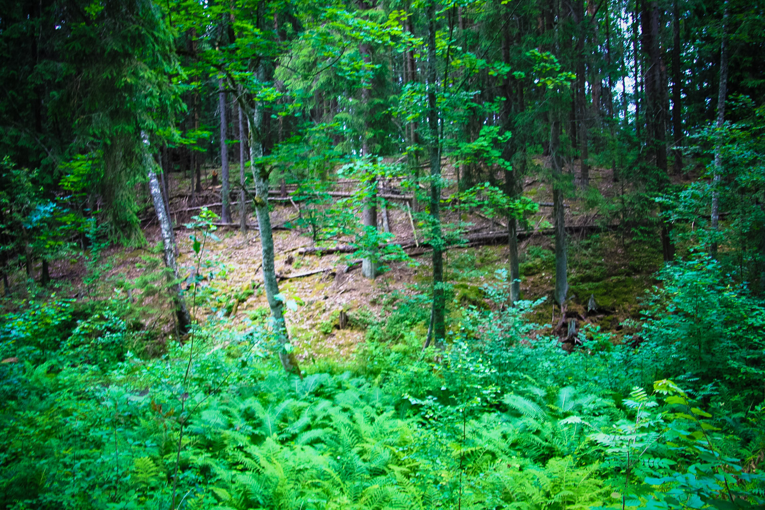
Attractiveness is more in context with the nearby hill fort. Visually it is not attractive.
Availability
Indication signs to the Cimpēni Hill Fort. Accessibility is relatively easy (from the side of the Cimpēni Hill Fort). It can be visited free of charge.
Infrastructure, management, facilities
No
Local info
No
Capacity
0 – 9
Publicity
Unknown
Legal Status
Private