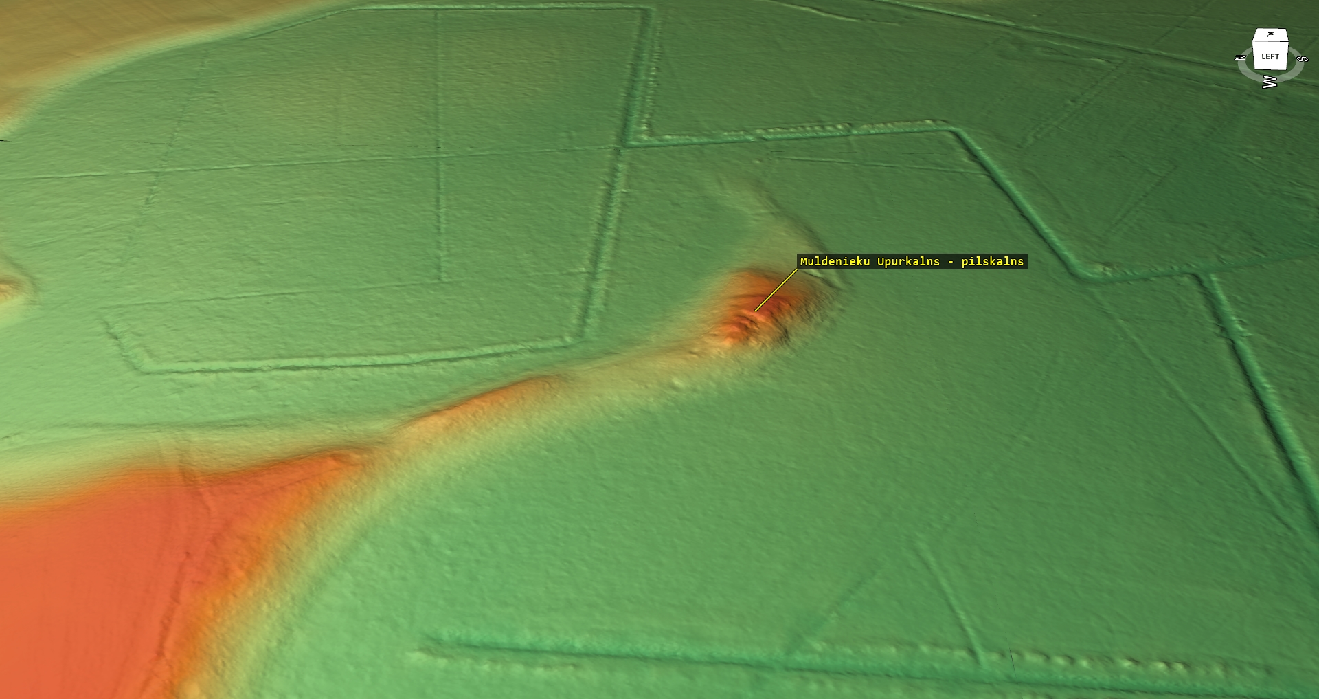
Muldenieki Sacrificial Hill (probably, a hillfort)
Location
State: Latvia
Region: Zemgale
County: Neretas
Parish: Neretas
Other references to the location
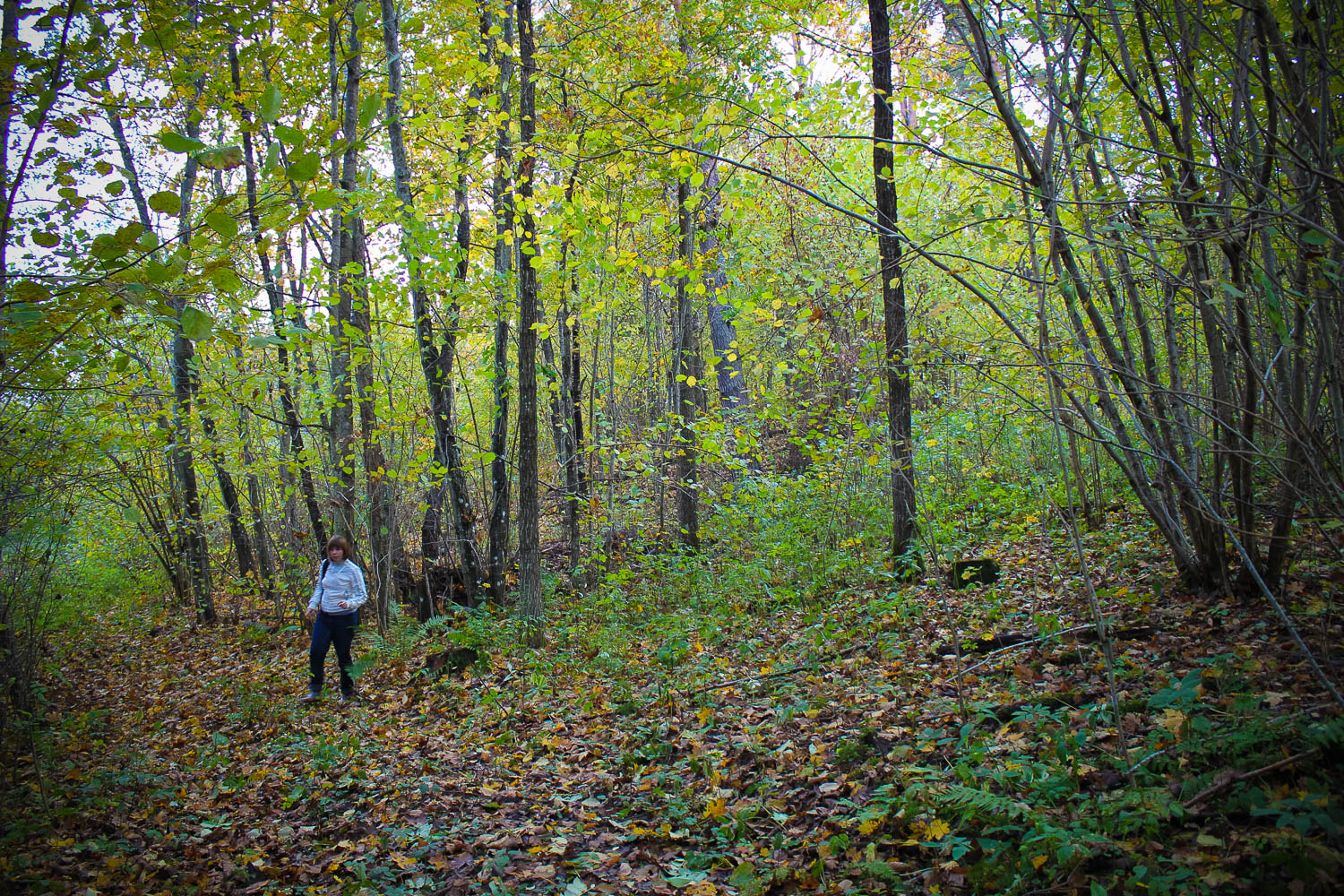
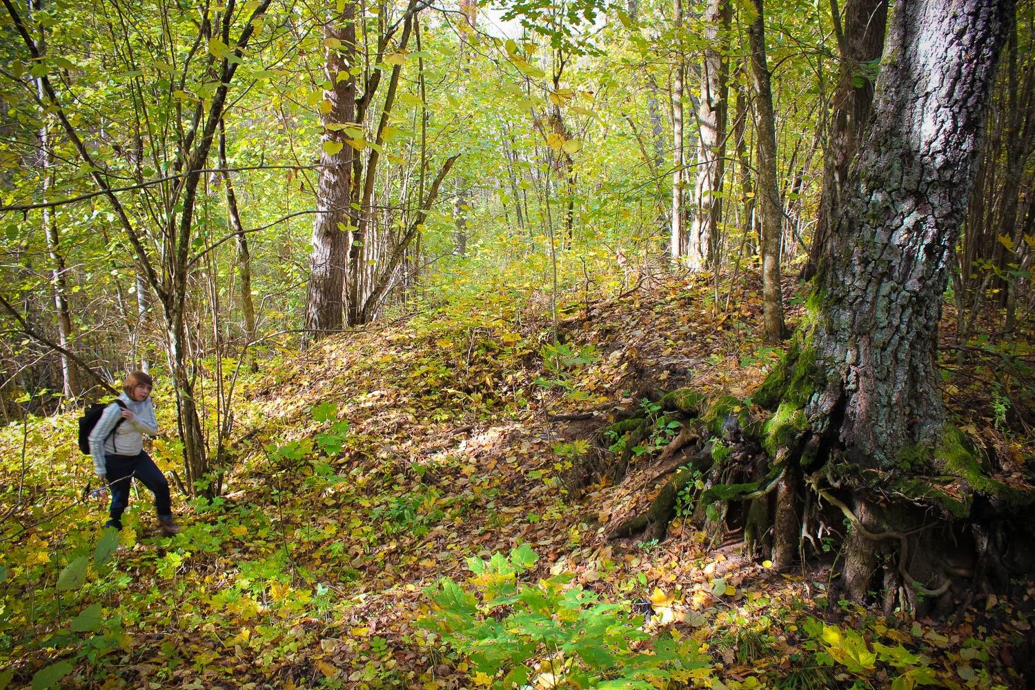
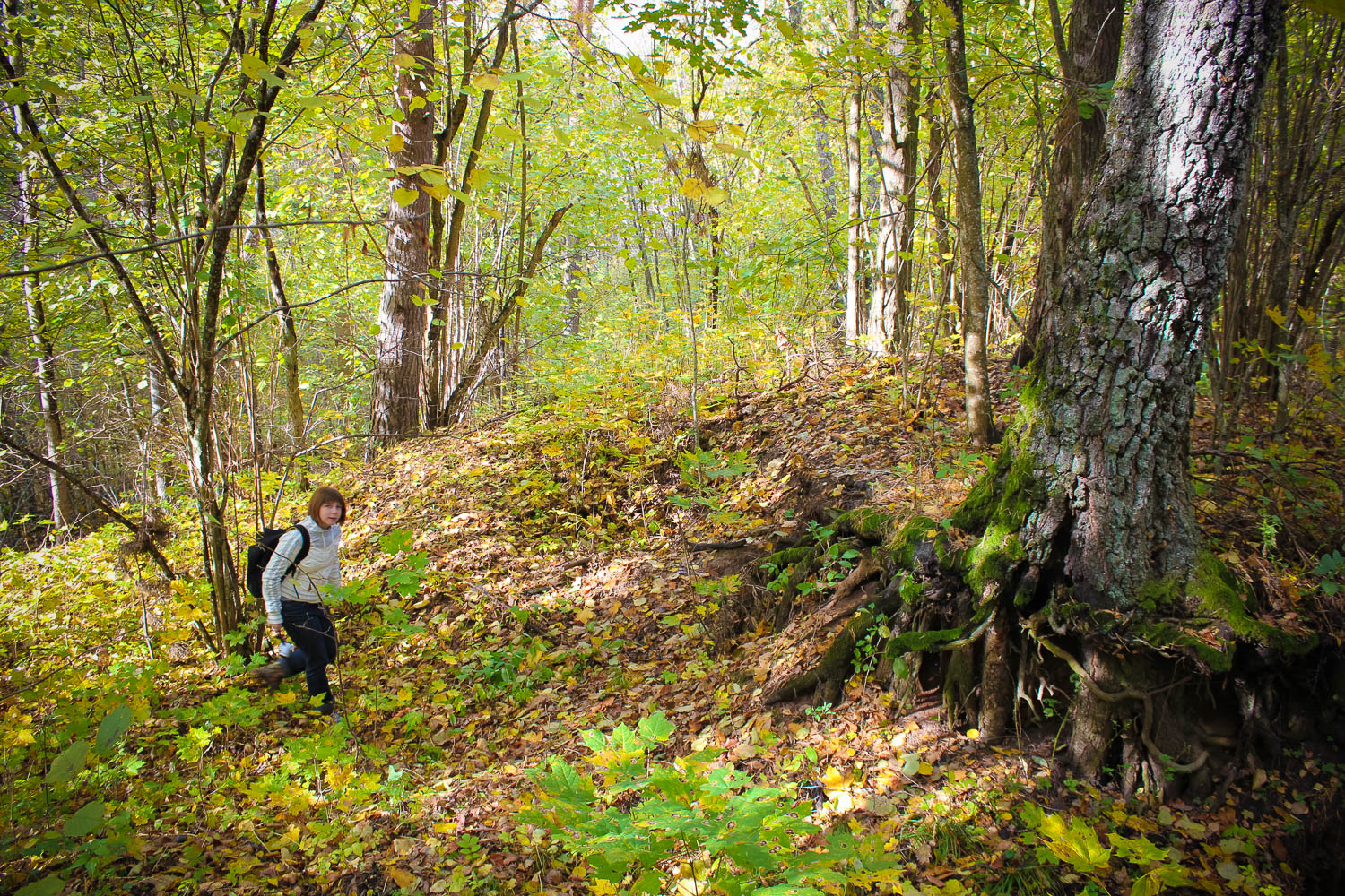
Hill is overgrown with trees and is located in a thick forest, around 300 m from “Muldenieki” home.
Coordinates
lat=56.24465, lon=25.2883
56° 14′ 40″ N, 25° 17′ 17″ E
Description
In most cases the hill was deemed a conventional castle mound, a short-term refuge site. Still the name of it – Sacrificial Hill – allows assuming it was used as an ancient cult site.
Narrative
In 2011, by asking the landlady of “Muldenieki” home about the hill, she told that once “a castle had stood” on the hill.
Attraction
Rather difficult to be examined due to thick overgrowth.
Availability
Access by a low-intensity forest road from the side where “Muldenieki” home is located.
Infrastructure, management, facilities
No tourism infrastructure. The stone is located far from any larger settlements. Nearest town – Nereta. Nereta: small shops and sightseeing objects (mainly natural) – secular trees, secular stones, as well as architecture objects. Direction Akniste,
Local info
No information.
Capacity
10 – 40
Publicity
Known
Legal Status
Private
Comments
Indicated on the Aizkraukle district map by ‘Jana Seta’ (2007).