Location
State: Latvia
Region: Kurzeme
County: Ventspils
Parish: Ance
Other references to the location
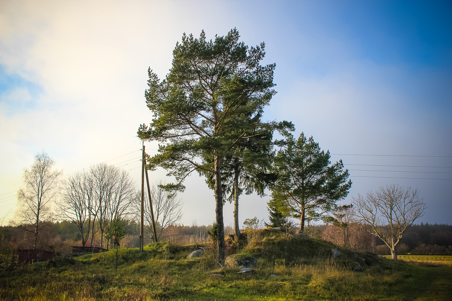
On the right (northern) side of the Ance–Ventspils highway, opposite the winding of the road, 40 m NE of the Mazistabas homestead.
Coordinates
lat=57.5294, lon=21.9144
57° 31′ 45″ N, 21° 54′ 51″ E
Description
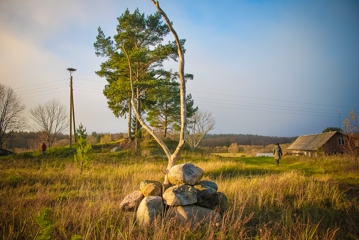
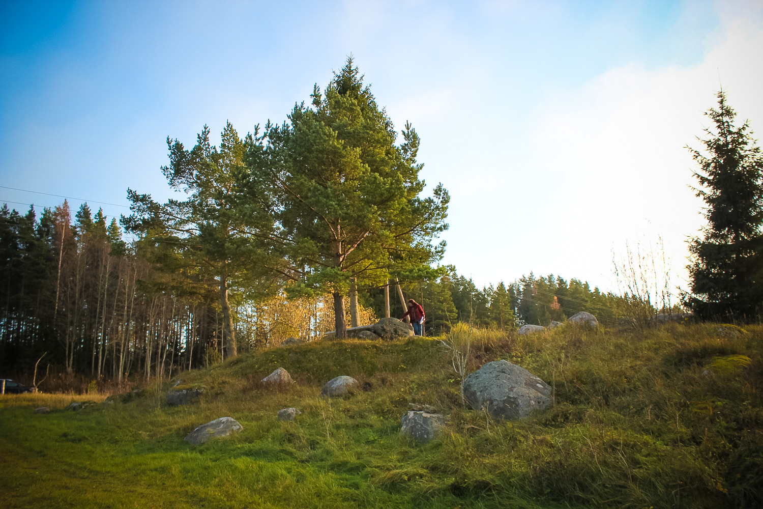
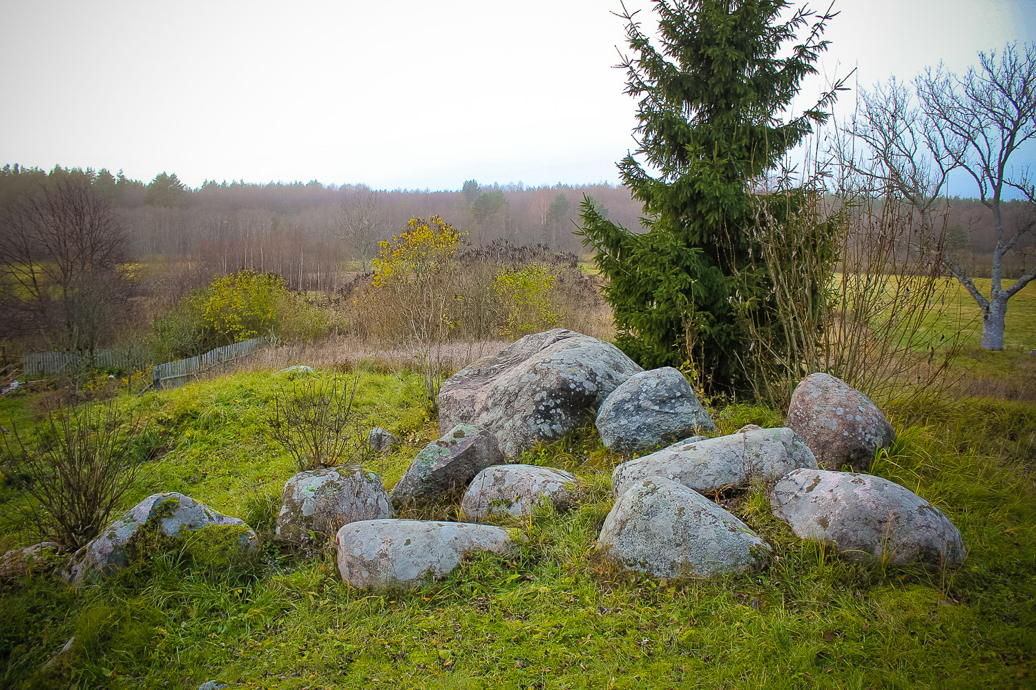
An archaeological monument under the state protection — a very distinguished hill, the surface of which is just scattered with stones of various size. It is possible that the richness of stones on the hill was caused by the glacier, because many stones have drowned deep into the ground and it seems they have never been moved. The largest of the stones resembles a wide chair, the size of which: length of 2.8 m, width of 2.5 m and height of 1.3 m. There have been no carvings found in any of the stones situated on the hill.
Narrative
A tale narrates that under the hill, there is a large underground passage, which has been filled up in two places, but at the end there is “silver”. The old name of the hill, according to the news provided by local people, is Angerminde. The passage from the hill’s underground, under the Rinda River, led to the Angerminde Castle on the opposite bank. On the NW side of the hill the Angeras homestead was situated, where two families used to live, which in 1949 were deported to Siberia.
Attraction
Average
Availability
Easily accessible. There are no information signs. Reachable by walking about 40 m in NE direction across a meadow from the Mazistabas homestead.
Infrastructure, management, facilities
There have been no facilitation and maintenance works performed within the territory, no indication signs.
Local info
There is no information stand on site
Capacity
10 – 40
Publicity
Known
Legal Status
Private
Comments
In this area they call bricks as “stieguļi”. Though they are not seen anywhere on the hill.