Location
State: Latvia
Region: Zemgale
County: Auces
Parish: Īles
Other references to the location
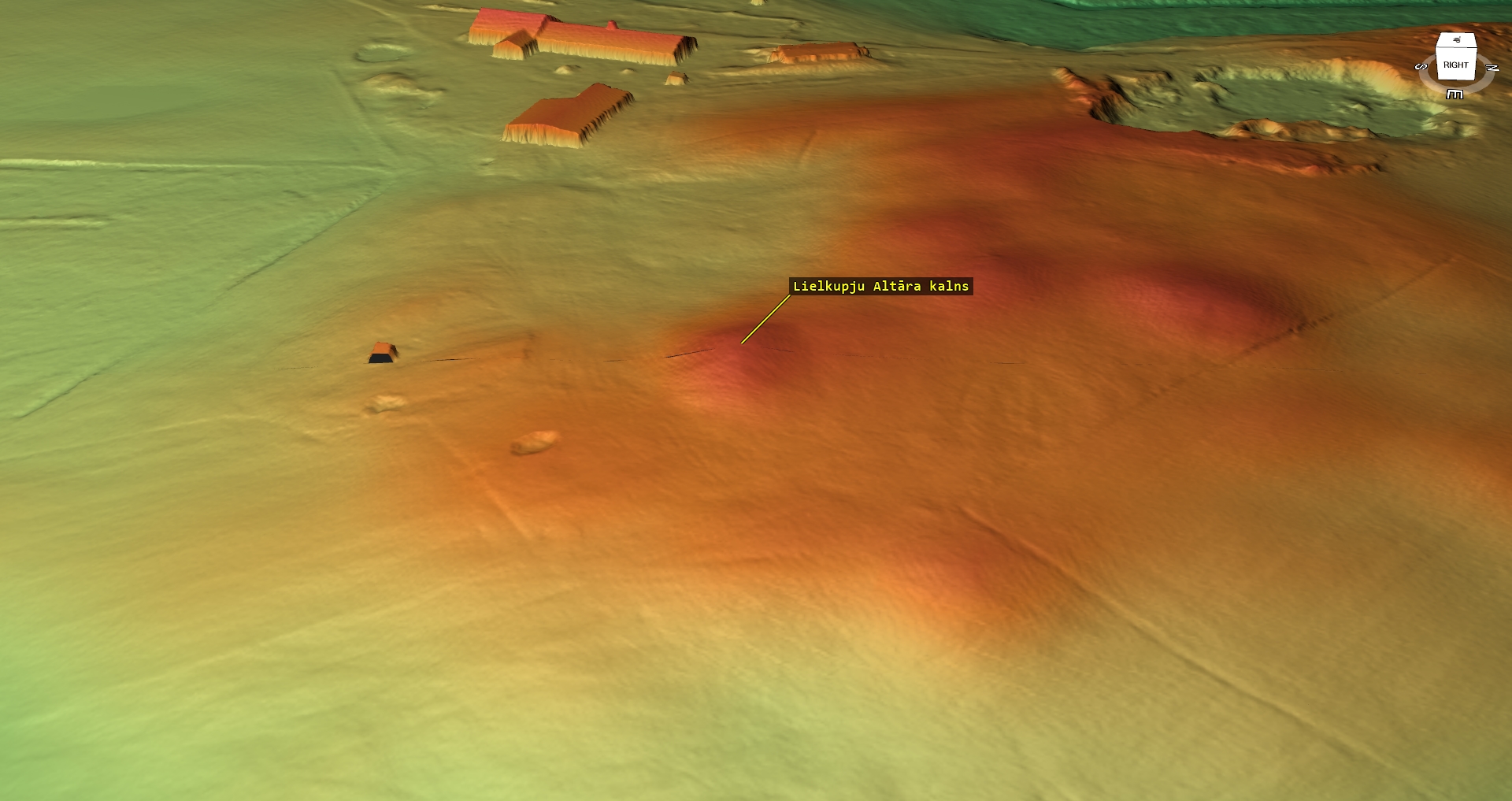
In an open, rolling field, opposite of the “Lielkupji” home, 230 m direction E from the road, which takes from Ile to the “Lielkupji” home.
Coordinates
lat=56.5647666667, lon=22.9748333333
56° 33′ 53″ N, 22° 58′ 29″ E
Description
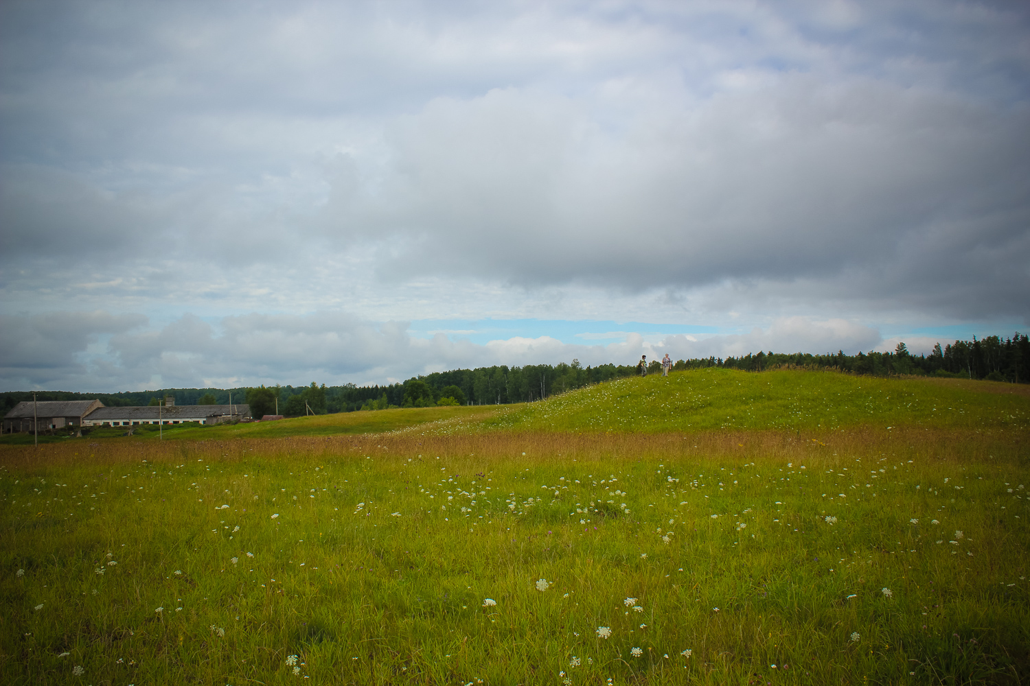
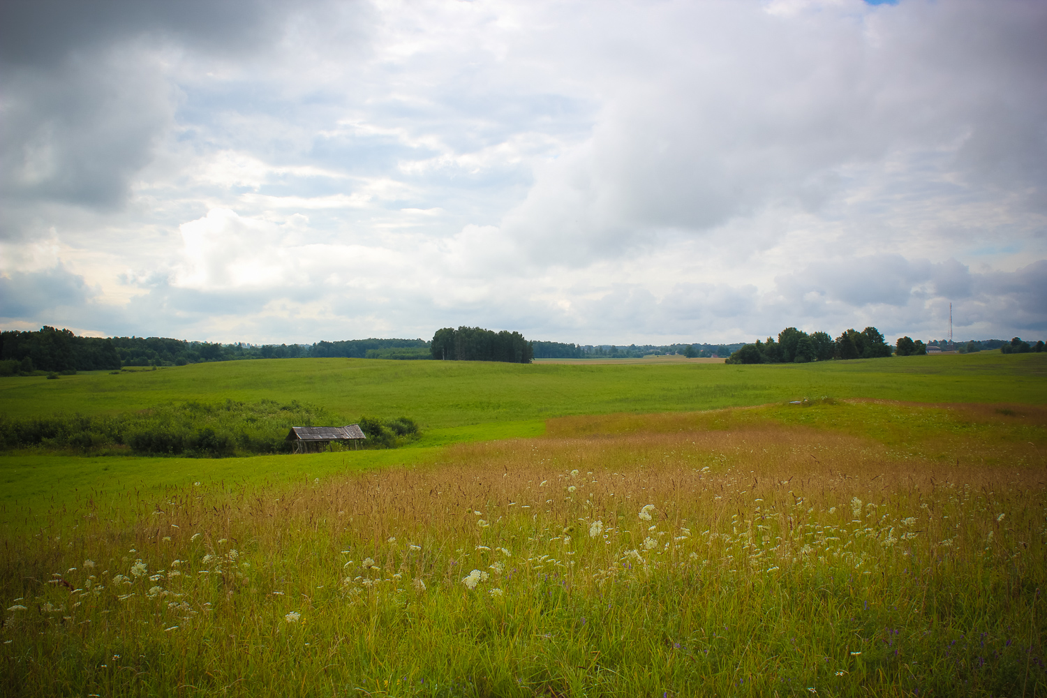
A small hill with absolutely no trees on it. Meadow. Next to it there are some smaller, similar hills created due to the course of the glacier.
Narrative
According to the legends the place was an ancient cult site with an altar. Nowadays there is no evidence found of that. From top of the hill it can be seen far away.
Attraction
Minor.
Availability
Rather easy accessible.
Infrastructure, management, facilities
There is no tourism infrastructure in the vicinity. Nearest towns – Dobele and Auce, where one shall find sightseeing and catering sites, shops and accommodation sites. Historic architecture in Auce, Dobele castle ruins in Dobele, Dobele Craftsmen Ce
Local info
No information.
Capacity
41 and more
Publicity
Known
Legal Status
Private
Comments
In the vicinity – an abandoned farm.