Location
State: Sweden
Region: Gavle
County: Gävleborg
Parish: Ilsbo
Other references to the location
Southeast of Sörby in the centre of Ilsbo parish
Coordinates
lat=61.847851971156, lon=17.070358717463
61° 50′ 52″ N, 17° 4′ 13″ E
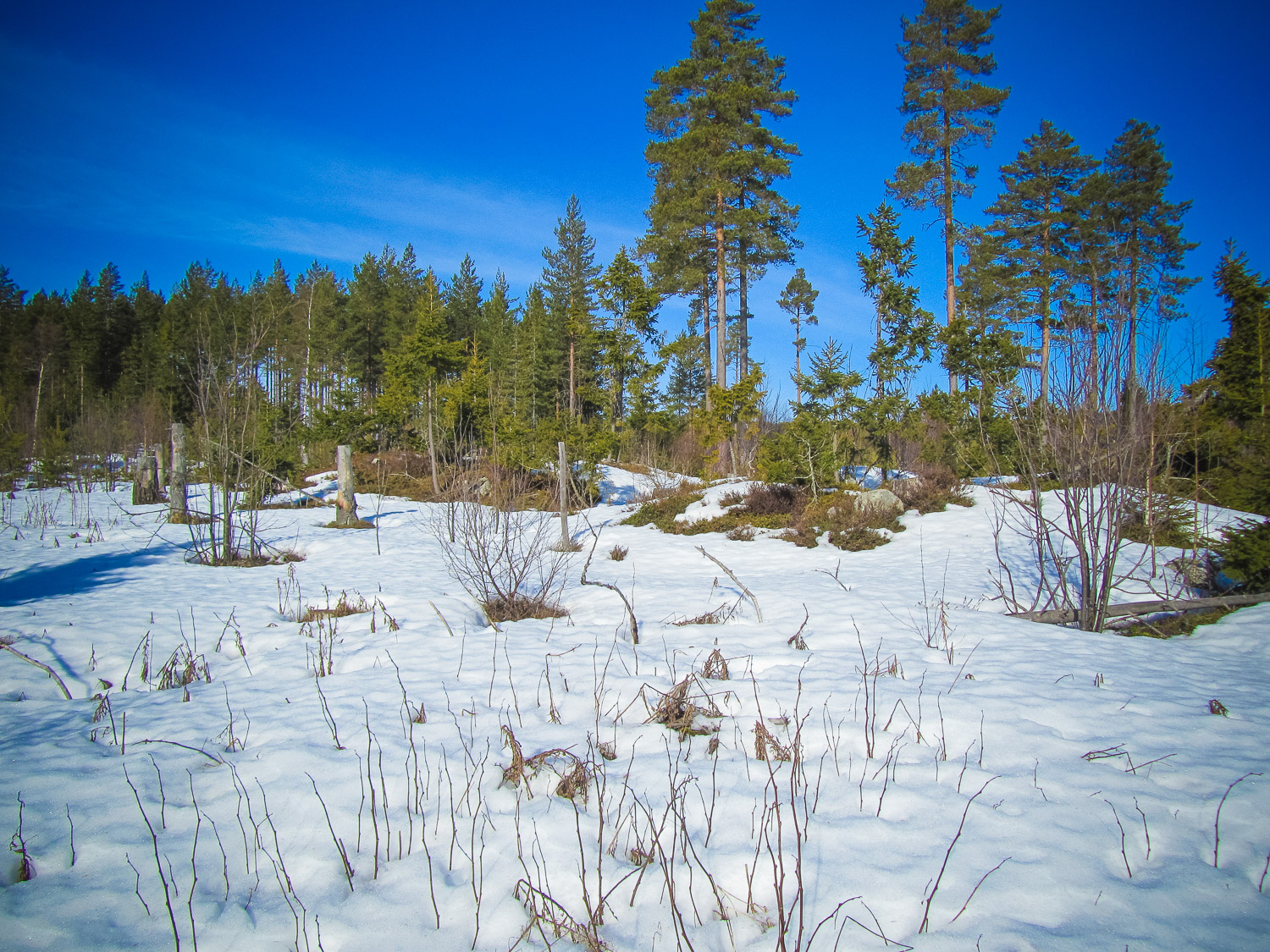
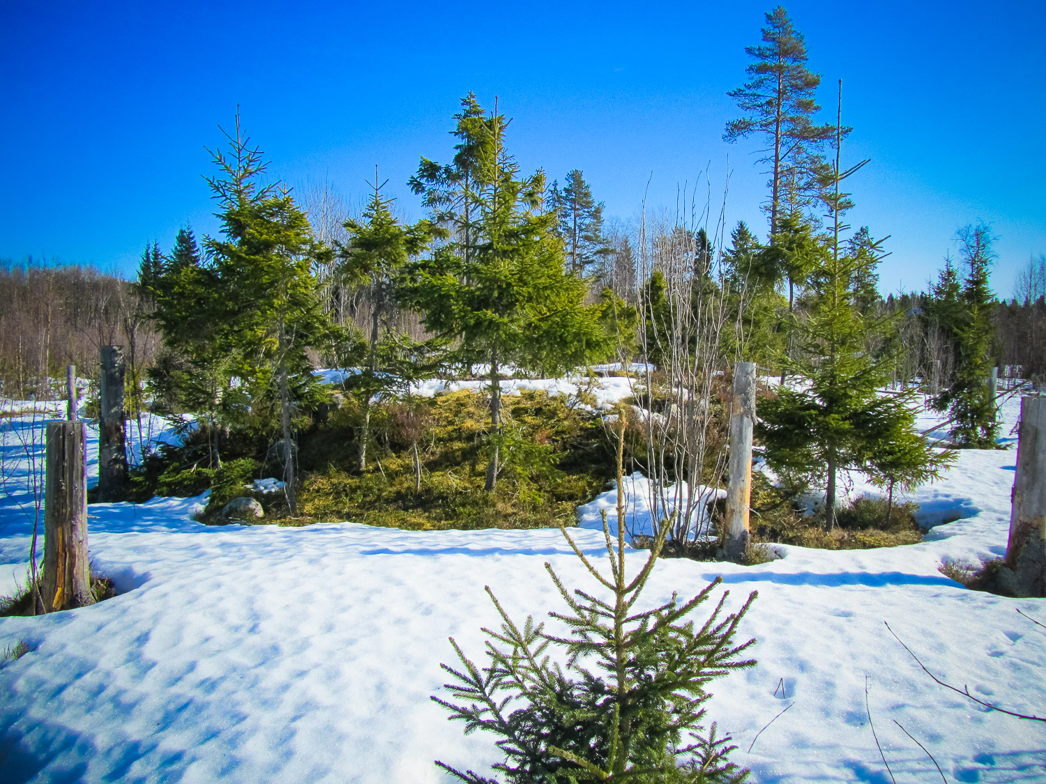
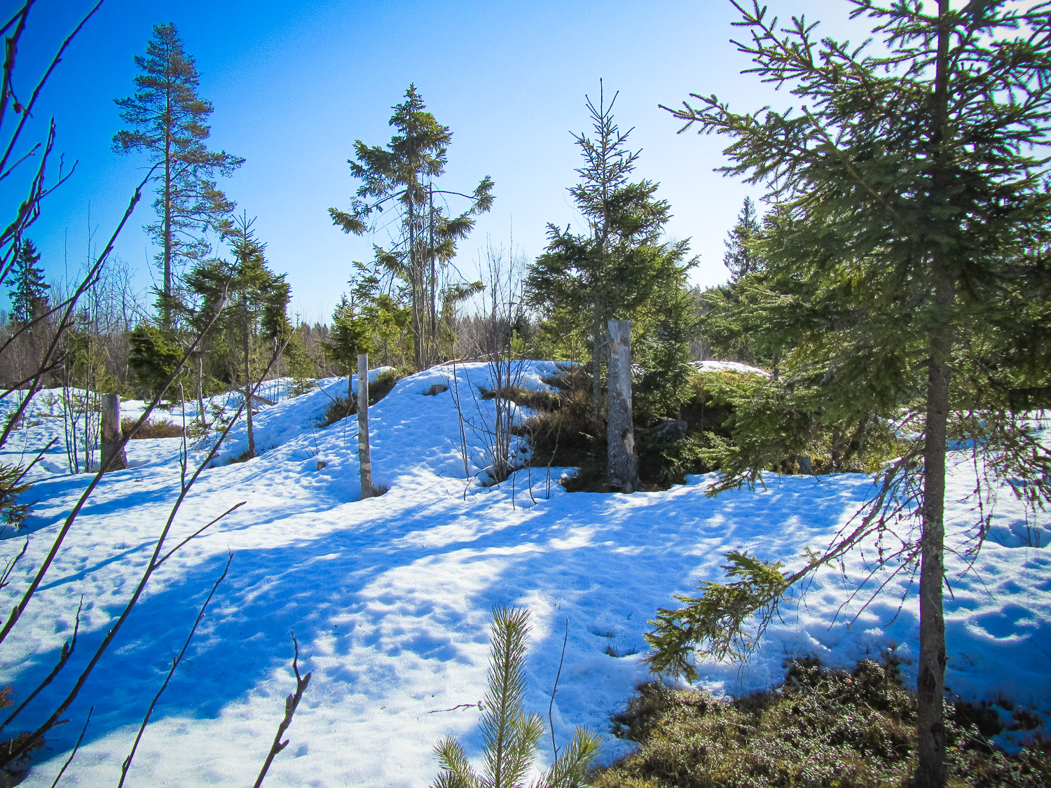
Description
12 gravemounds, one stone settings and two house terraces from the Iron Age.
Narrative
A holy burial ground for the Iron Age inhabitants. The mounds are suggested to represent a farming group of inhabitants. The stone settings are assumed to represent people that mainly occupied themselves with fishing and hunting. The iron cult has left traces such as furnaces, coal pits, roast places and lots of iron slag.
Attraction
Ancient grave field near a forest stream
Availability
A 150 meters long walk from a small village road
Infrastructure, management, facilities
No infrastructure on the site
Local info
No information on the spot
Capacity
10 – 40
Publicity
Known
Legal Status
Legal Entities