Location
State: Latvia
Region: Vidzeme
County: Valka
Parish: Ērģeme
Coordinates
lat=57.82024460923, lon=25.77037303582
57° 49′ 12″ N, 25° 46′ 13″ E
Description
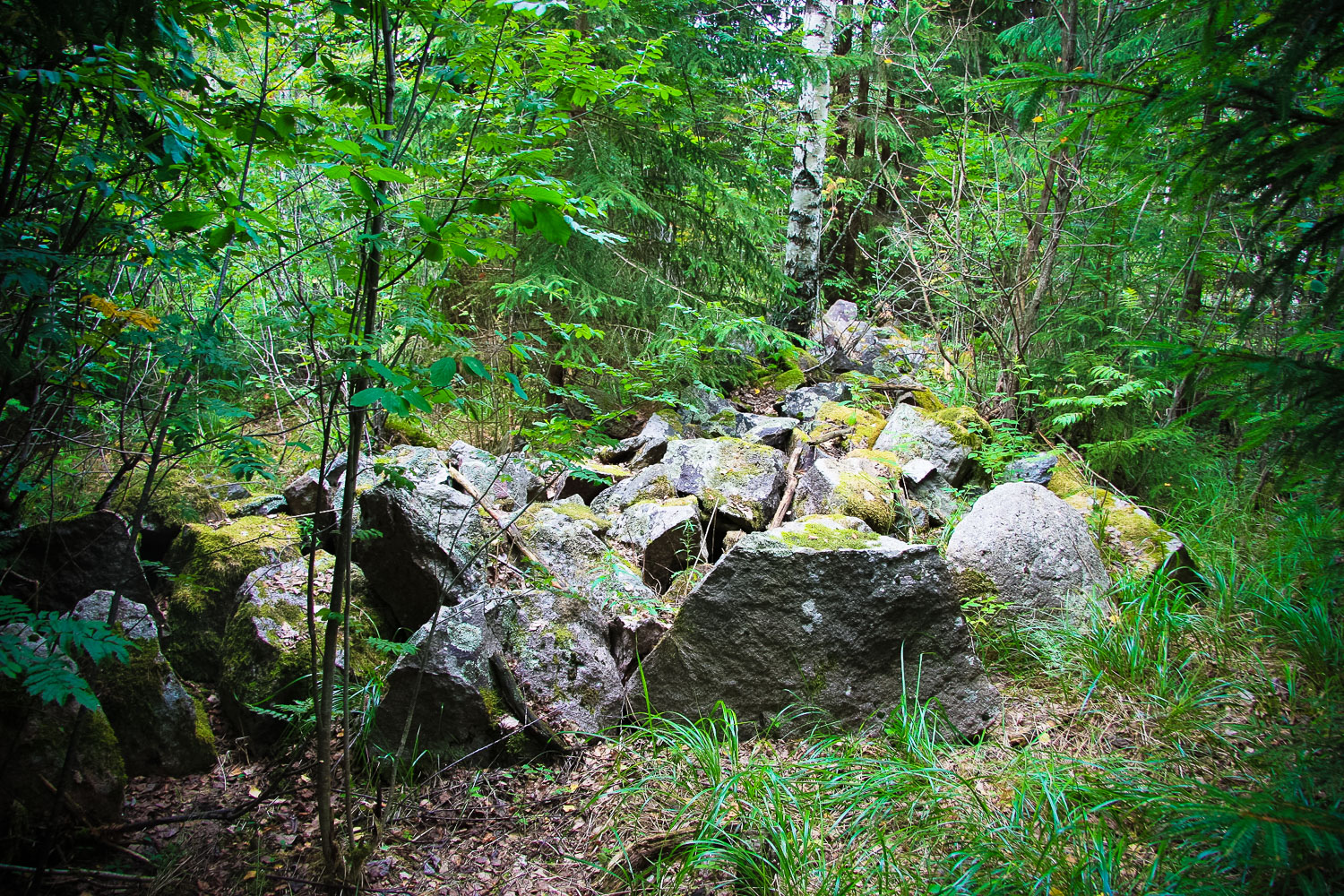
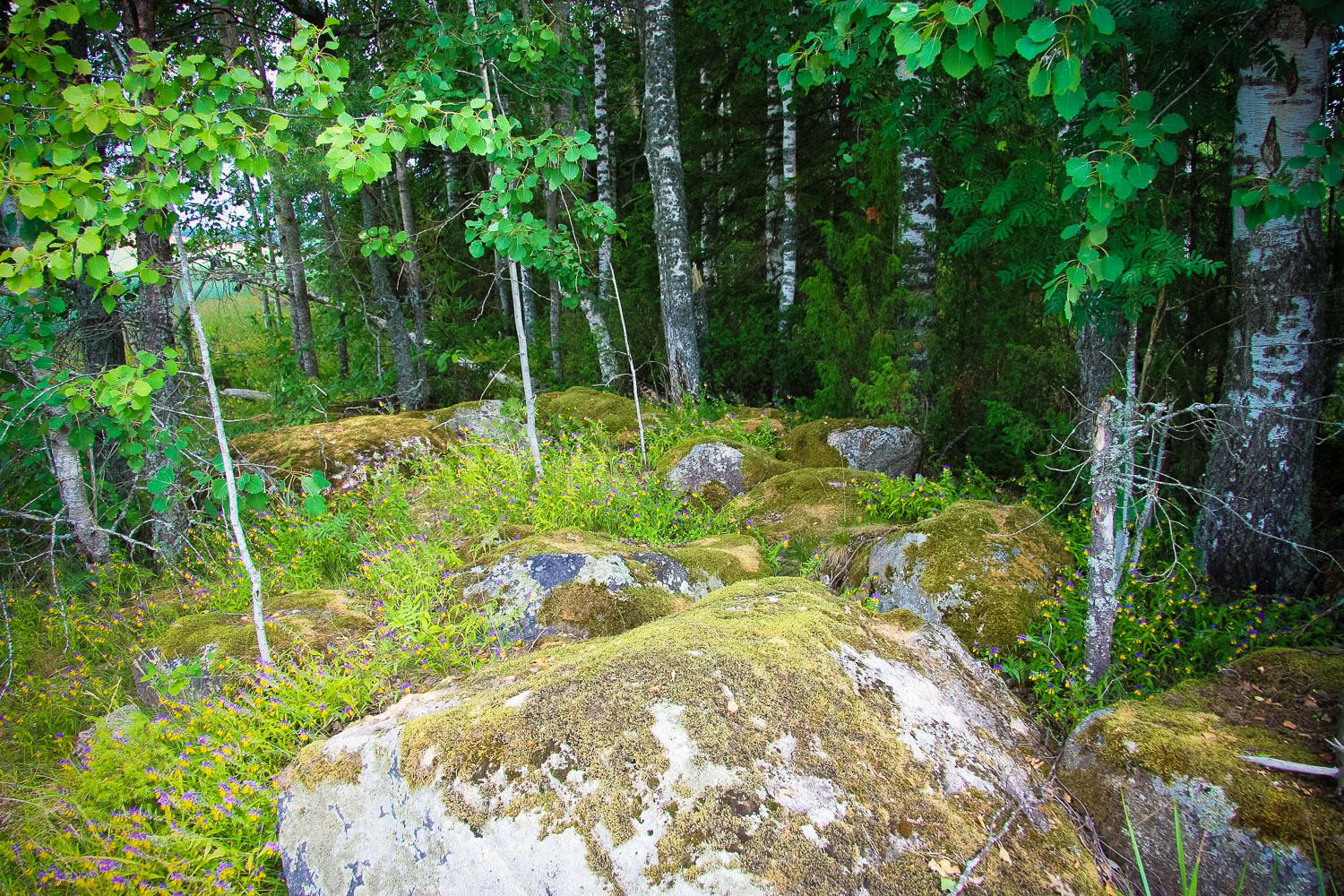
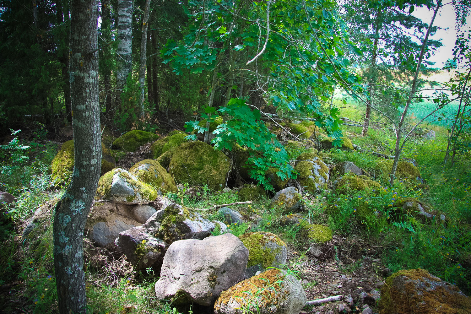
It is also called the French Cemetery and it is considered to be local archaeological heritage (State Inspection for Heritage Protection, No 2365). There is no other information about the site. It is ~15 m long stone cairn in a semicircular-form. There are no traces of cohesive substance. The stones are mainly fractured. In the territory around the cairn there are about 10 pits, the origin of which is not clear. Four of the pits are situated in a row.
Narrative
No recorded folklore materials have been found. The local people cannot tell anything about the site.
Attraction
The place is quite peculiar, but as access to it is very complicated, it is hard to get satisfaction from the sightseeing.
Availability
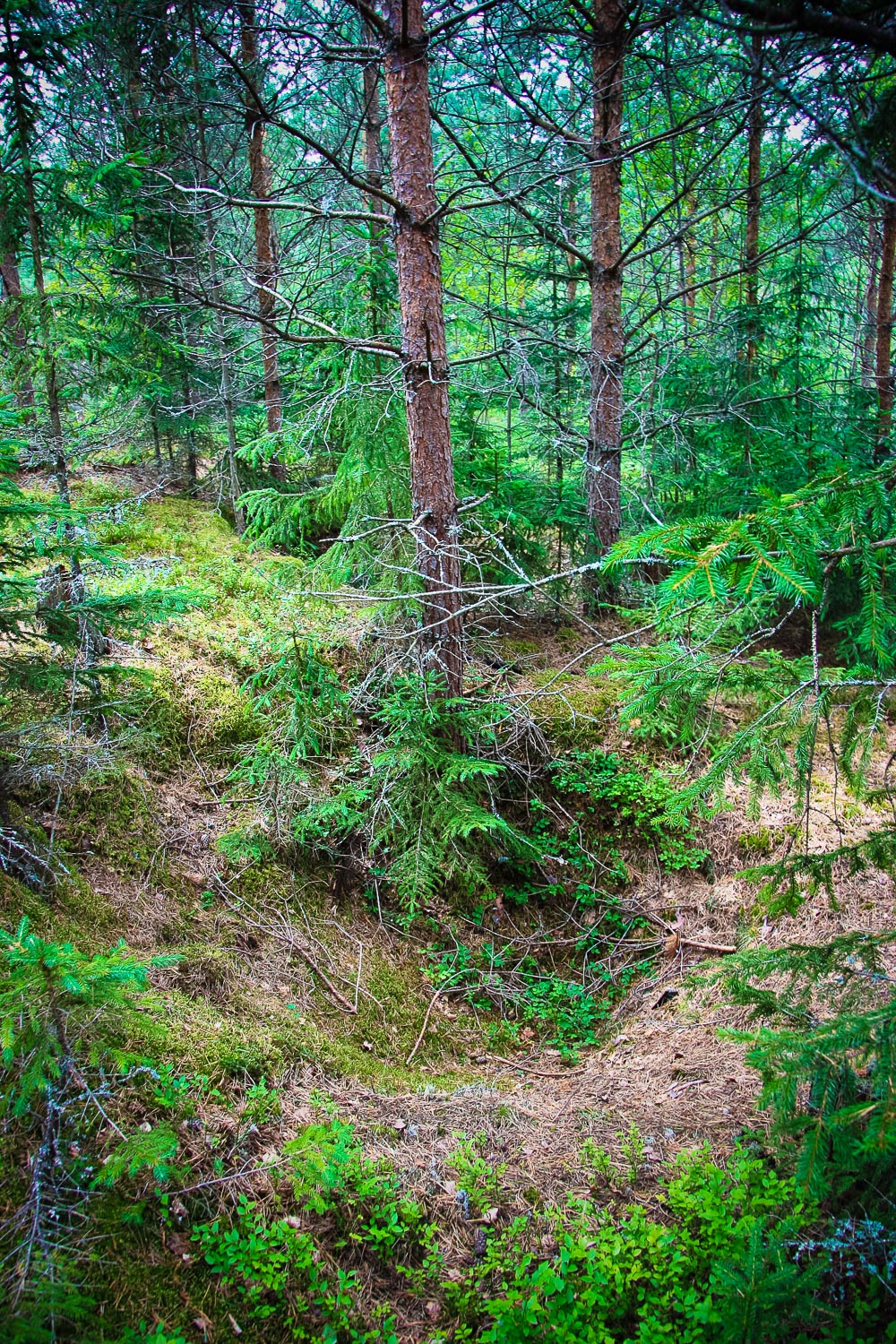
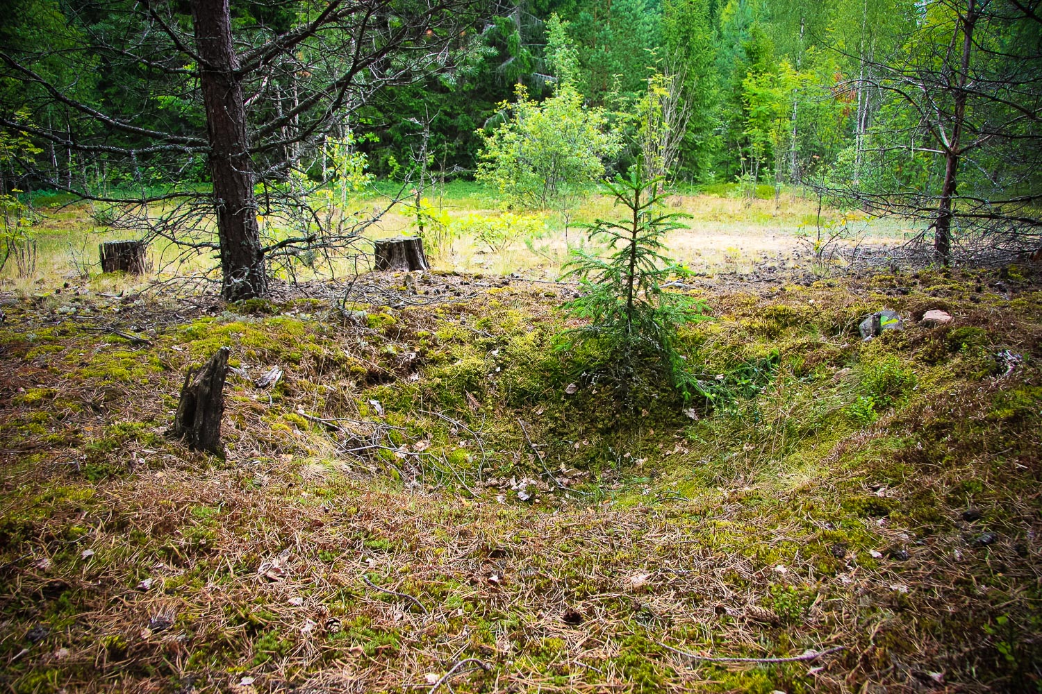
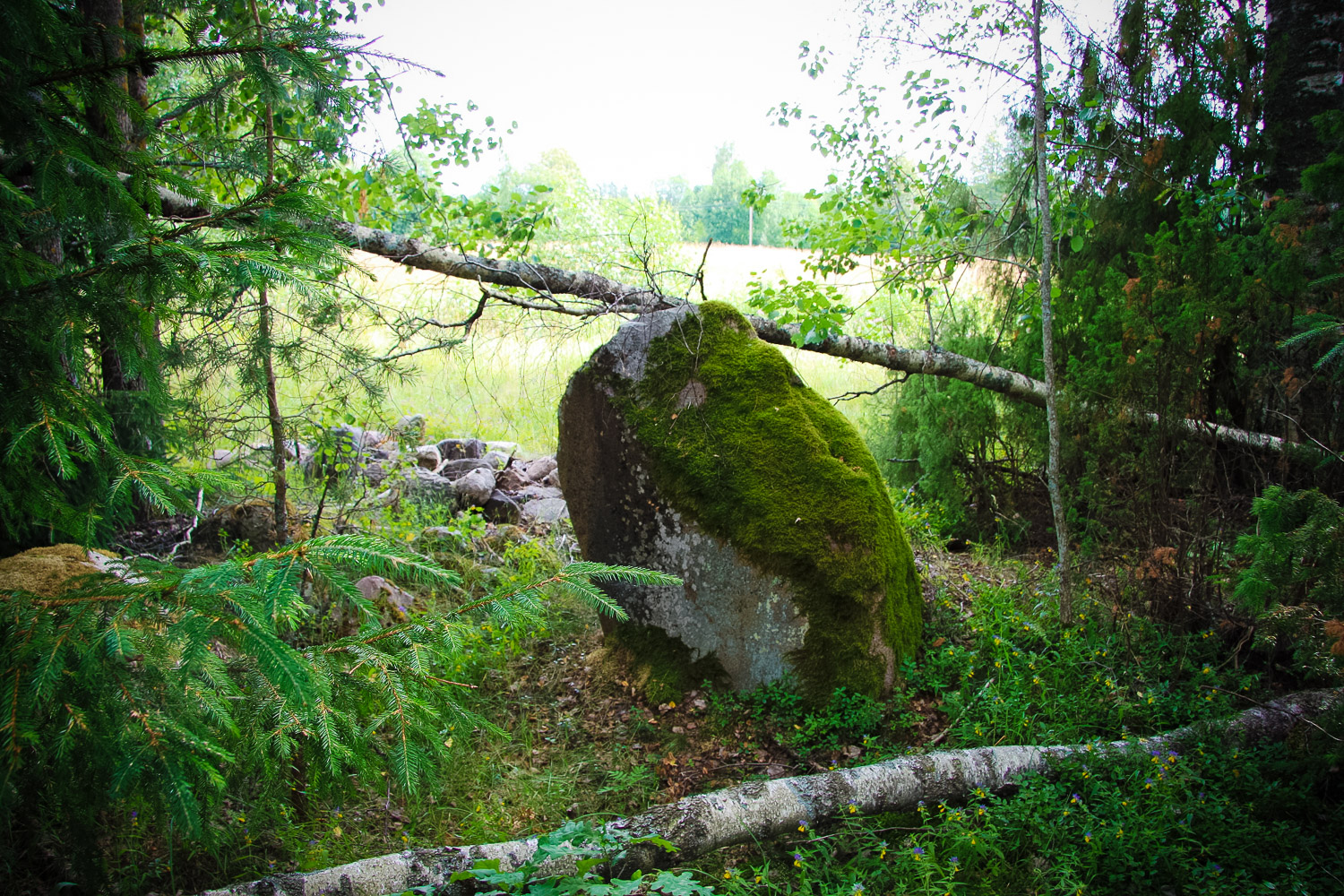
No indication signs — if following the point marked in the map of “Jāņa sēta” of 100 scale at the Dauguļi medieval cemetery, it would not be possible to find the object, because the territory is too vast and very overgrown. There is an indication sign only to the Dauguļi homestead, the road to the Katrīna’s Church Hill was shown by the landlady of the Dauguļi homestead Dzintra Studente. A landmark – the river/ravine (the stone cairn is situated at a distance of about 10 m from the ditch). The Oļupīte River flows through the territory, there used to be a bridge across it, and the river bed is full of stones of various dimensions. To get to the stone cairn, one has to wade through a strongly overgrown forest.
Infrastructure, management, facilities
No infrastructure
Local info
The proprietor of the Dauguļi homestead showed the way to the stone cairn — she noticed it several y
Capacity
0 – 9
Publicity
Unknown
Legal Status
Municipal property
Comments
In the Dauguļi homestead Dzintra Studente’s aunt lived who was more than 90 years. She sometimes told about a medieval cemetery, but she did not know what the stone cairn in the forest was. She also told about the Katrīnkalniņš Hill, but she ment by it more of a territory situated within the property of the Karavīri homestead. The old aunt called the ravine, along which one can reach the stone cairn, called the Oļupīte River, though Dzintra Studente believes that the real Oļupīte River is the one that had a bridge over it. On the way to the Dauguļi homestead there is a peculiar palce — an A-line area, along the perimeter of which stones had been palced and right at the stones junipers grow. The middle of the area is empty, only several birch-trees grow there and a rather large stone is situated. The proprietor of the Dauguļi homestead states that it is not the Dauguļi medieval cemetery and that the stones, most likely, had been brought there during the times of collective farming when cleaning up the fields.