Location
State: Latvia
Region: Riga
County: Aloja
Parish: Aloja
Other references to the location
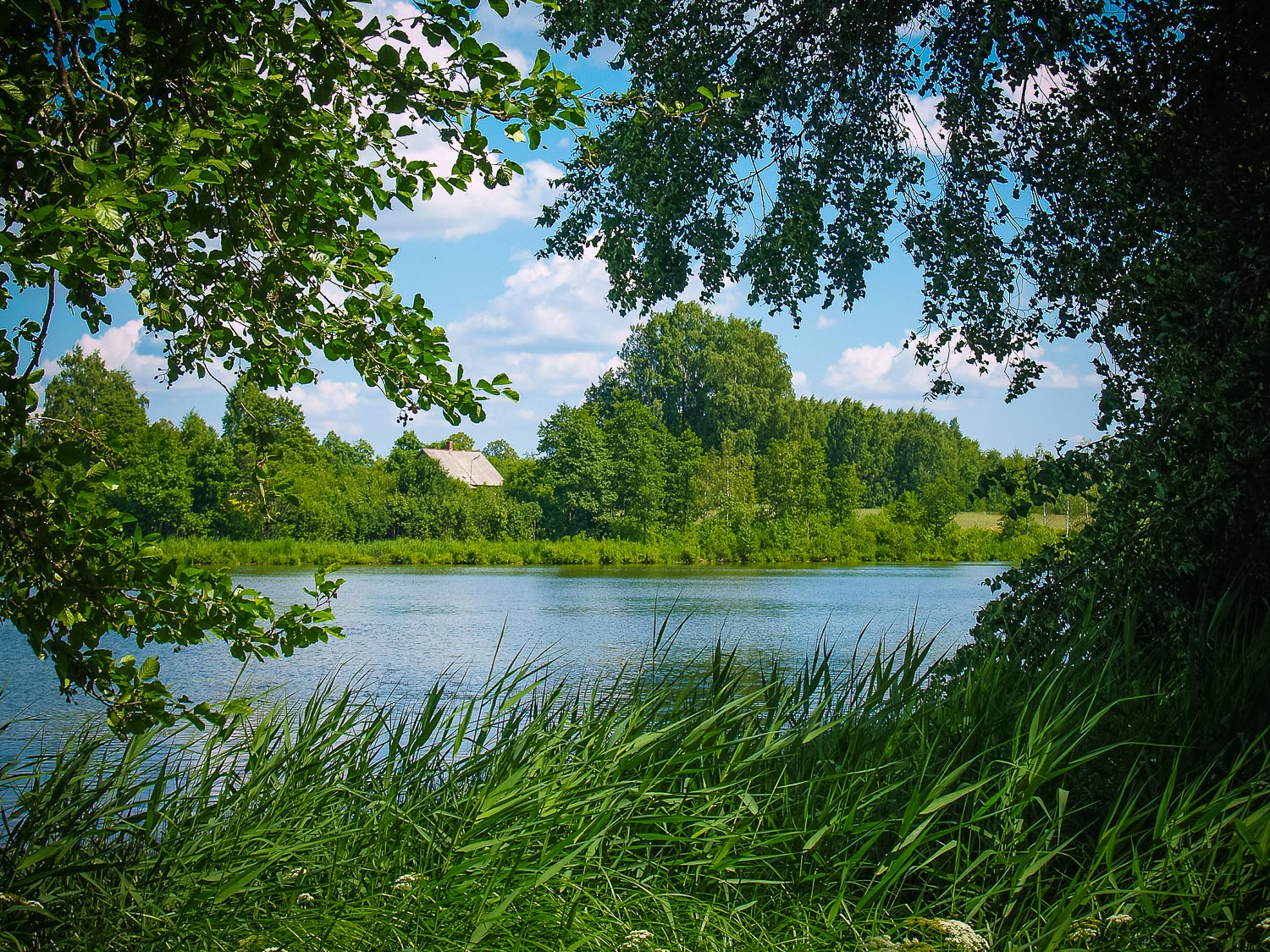
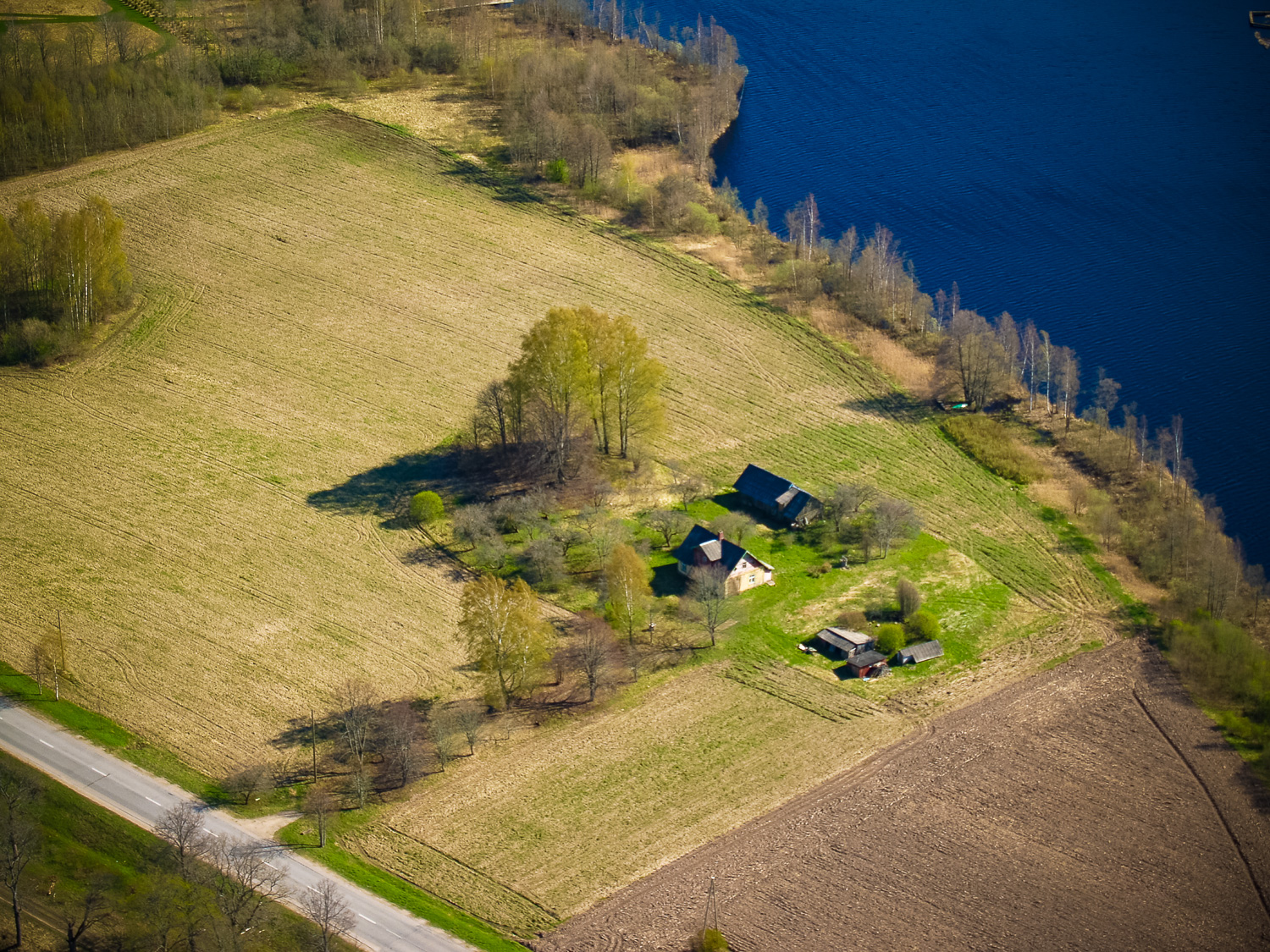
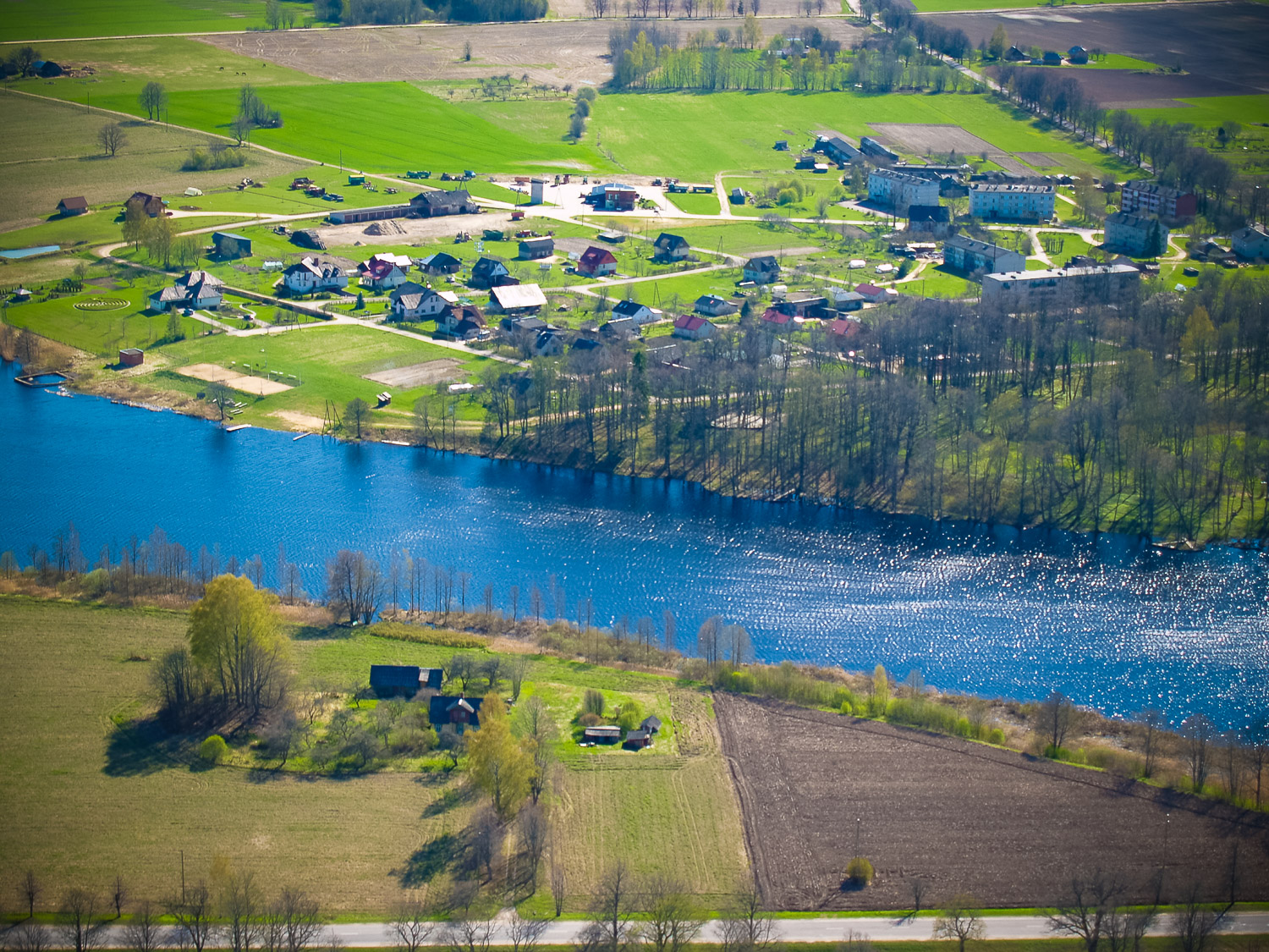
By the Ezerkalni homestead at the edge of the millpond of the Ungurpils (Castle)
Coordinates
lat=57.7729477778, lon=24.8215344444
57° 46′ 22″ N, 24° 49′ 17″ E
Description
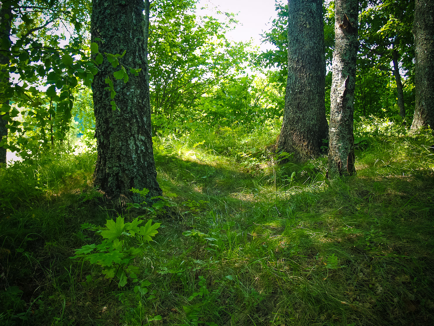
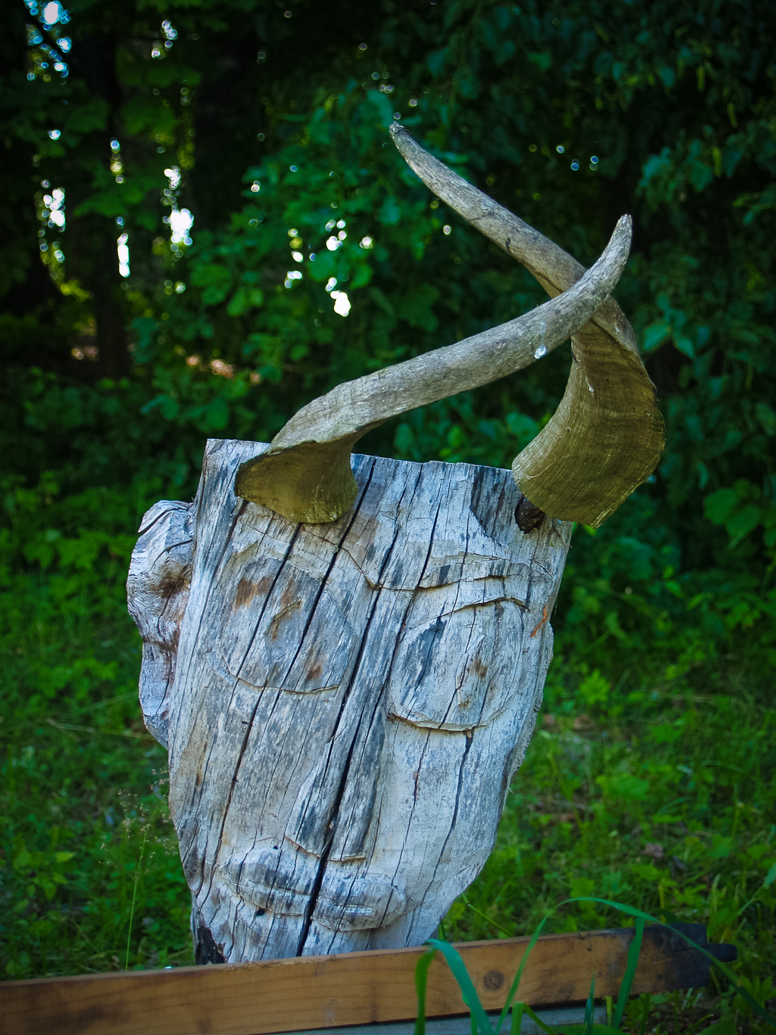
The Ezerkalni Devil’s Lap is an explicit ancient burial hillock of the early period. There are several large birch trees, a lime tree, and underbrush on the hillock. In the highest part, i.e. the central part, there is an old now overgrown dug-up pit — a potatoe cellar or a dugout. Otherwise the hillock looks undestroyed. There is nearly no stone visible either on it or by it. At the foot of the hillock against the Staicele – Aloja highway, there were summer solstice celebrations held and a summer solstice bonfire made not long ago. At the bonfire on top of a box, there was a Devil’s head carving in a log left supplemented by billy goat hoarns. It seems that it can be considered as a modern expression of the Devil’s folklore of the ancient Ezerkalni Devil’s Lap.
Narrative
See attachment
Attraction
Unattractive
Availability
Access by crossing a private house yard.
Infrastructure, management, facilities
None
Local info
None
Capacity
10 – 40
Publicity
Unknown
Legal Status
Property of State
Comments
The Snakes’ Hillock (Čūsku kalniņš) related to Devil’s activities in tales and legends and located on the opposite bank of the mill lake of the Ungurpils Manor House is very close to the Ezerkalni Hillock if looked upon in straight line, and it is possible that if there were no millpond banks and the trees of the Ungurpils Manor House, they could be seen from each other. At the time of the visit, there were no permanent dwellers in the Ezerkalni homestead.
Attachments