Location
State: Latvia
Region: Kurzeme
County: Priekule
Parish: Priekule
Other references to the location
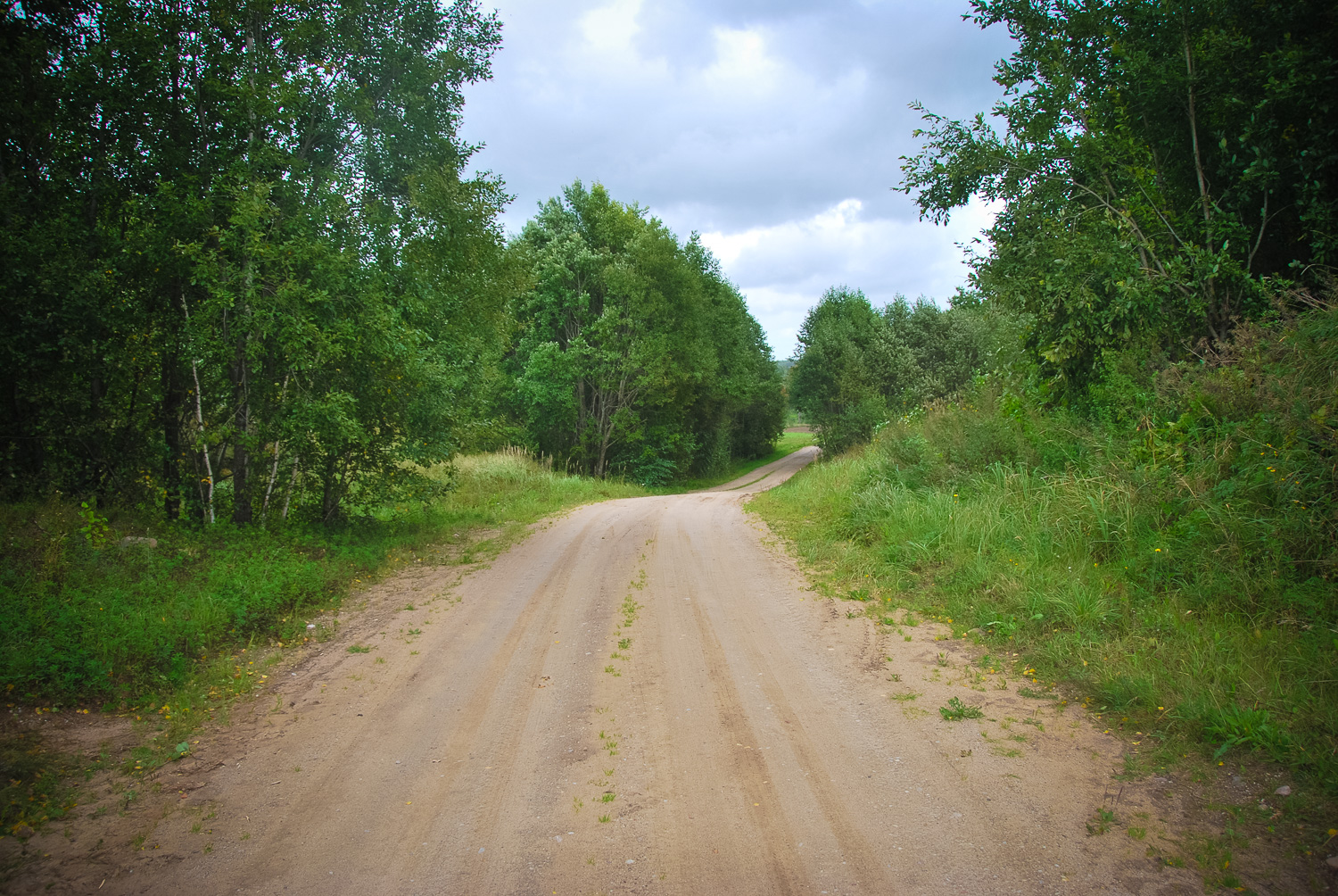
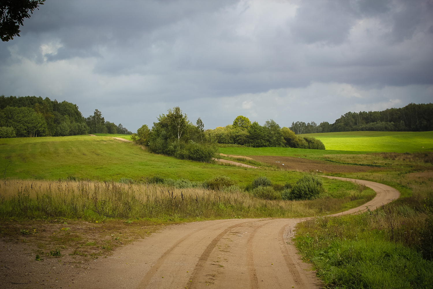
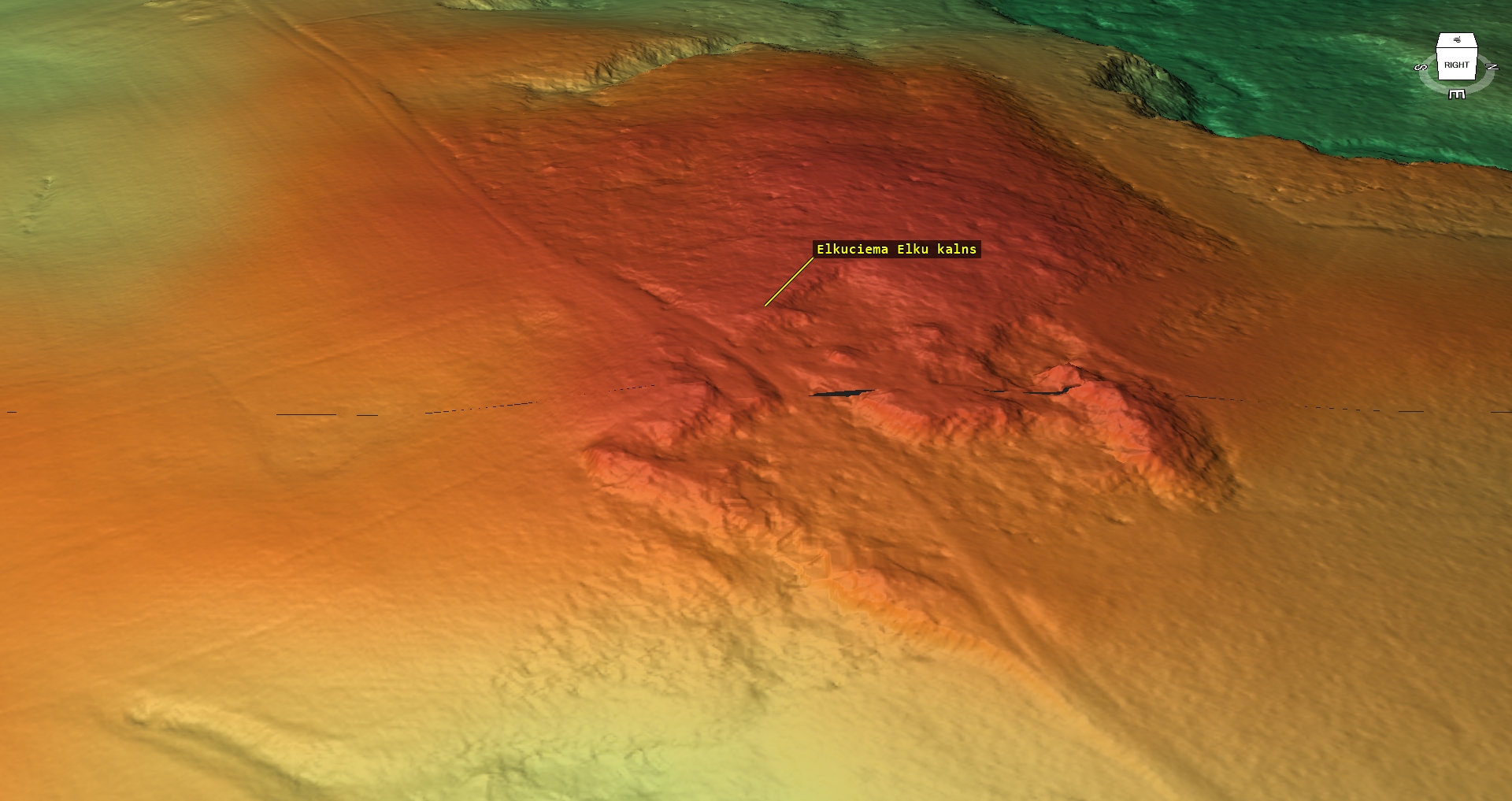
5 km NE from the centre of Priekule town, on the left bank of the Virga River, about 0.5 km NW from Elki cemetary. The hill is crossed by the Kalnenieki–Elkuciems road (a winding rural road which also leads to Elki cemetary)
Coordinates
lat=56.4586166667, lon=21.6622666667
56° 27′ 31″ N, 21° 39′ 44″ E
Description
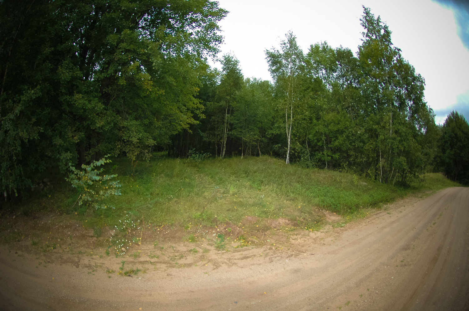
A big elevation of the surroundings the biggest part of which have been dug up with gravel quarries and old gravel pits. Nowadays there are no signs of trimming or anything else that would indicate an ancient site.
Narrative
According to the archive materials the hill crossed by the curving Kalnenieki–Elkuciems road is called the Idols’ Hill. It is a large elevation in the surrounding relief from which there are far-reaching views in various directions. It must be pointed out that in this vicinity, also known as Idols’ Land, this is not the only hill with such a name. On the Idols’ Hill no traces of an ancient site are visible any more, there are neither any data on what there was on the hill in ancient times.
Attraction
Some
Availability
Easily accessible. There are no information signs. The stone lies in an overgrown forest.The hill is crossed by the Kalnenieki–Elkuciems road.
Infrastructure, management, facilities
There have been no facilitation and maintenance works performed within the territory, no indication signs.
Local info
There is no information stand on site
Capacity
10 – 40
Publicity
Known
Legal Status
Private
Comments
It is significant as a place-name which is indicative of an ancient site of the past.