Location
State: Latvia
Region: Zemgale
County: Jelgavas
Parish: Vilces
Other references to the location
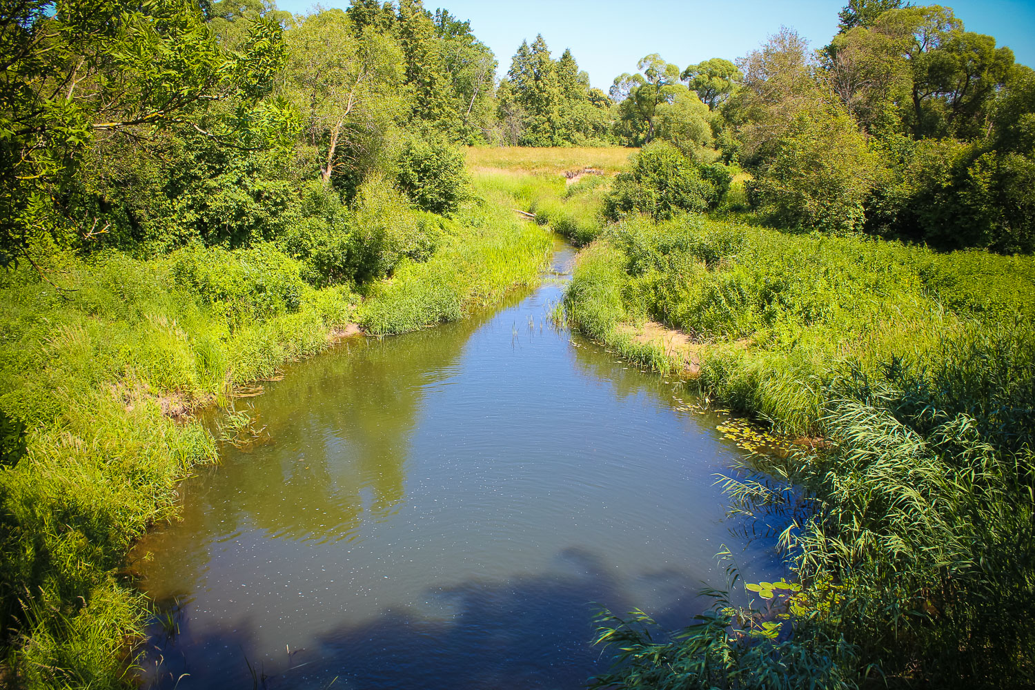
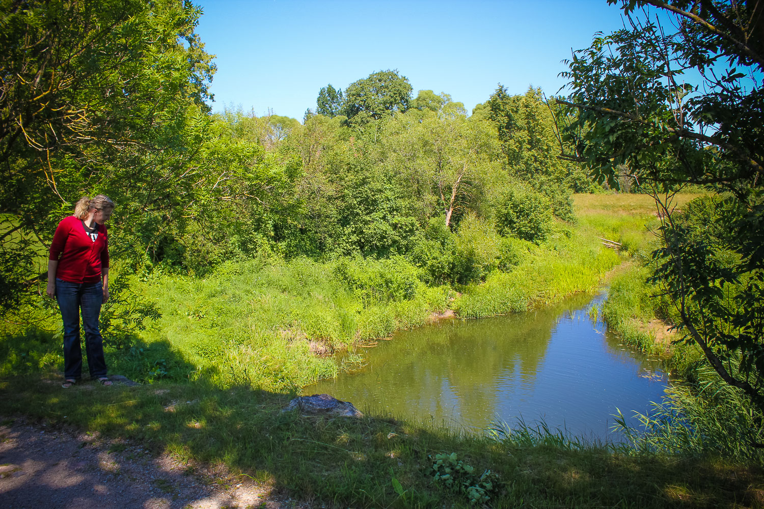
In the northern end of nature park “Vilce”. In Vilce valley, in the very lower reaches of River Vilce, at its estuary into the River Svete, downwards of the old Bauska-Dobele road bridge.
Coordinates
lat=56.4303554755, lon=23.5253201281
56° 25′ 49″ N, 23° 31′ 31″ E
Description
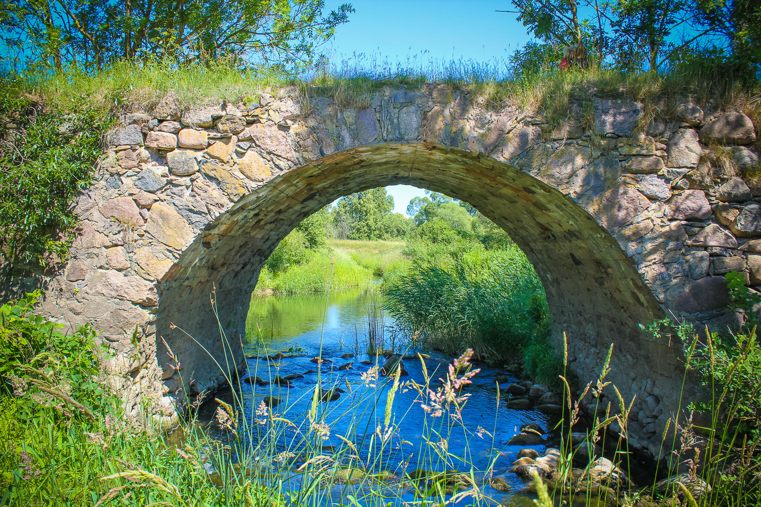
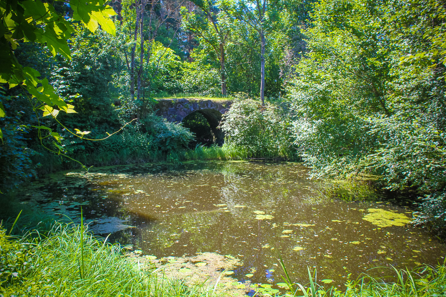
The depth in the river is located next to a unique construction monument – Murmuiza stone bridge over the River Vilce, which is built on the old Dobele – Bauska road as a crossing of the River Vilce. The bridge is 114 m long, accommodates three vaults, crossing the river and its two arms. It was built in the 19th century. The central vault is 4m high and 6,8 m wide. Downstream of that is the remarkable Devil’s Depth. A similar depth is also downstream of one of the culverts of the arms of the river.
Narrative
The large river turn downstream from the old road bridge is mentioned in many stories in relation with the Devil. The depth may in no way be covered up, nor made smaller. Many valuables had drowned there, but these cannot be lifted out, since the place is much too deep.
Attraction
Average.
Availability
Easy accessible.
Infrastructure, management, facilities
The Devil’s Depth is located at the bridge. No tourism infrastructure in direct vicinity. Nearest town – Vilce, where one shall find a Tourist Information Centre, shops and sightseeing objects like Nature Park “Vilce”, Hare meadow, manor. Information
Local info
No signs at the object. Information available at the Tourist Information Centre in Vilce Manor.
Capacity
41 and more
Publicity
Known
Legal Status
Private
Comments
According to another information Devil’s Depth is located in the River Svete. Not far from the old Vilce Bridge a monument devoted to the Swedish soldiers is established.