Location
State: Latvia
Region: Zemgale
County: Bauskas
Parish: Codes
Other references to the location
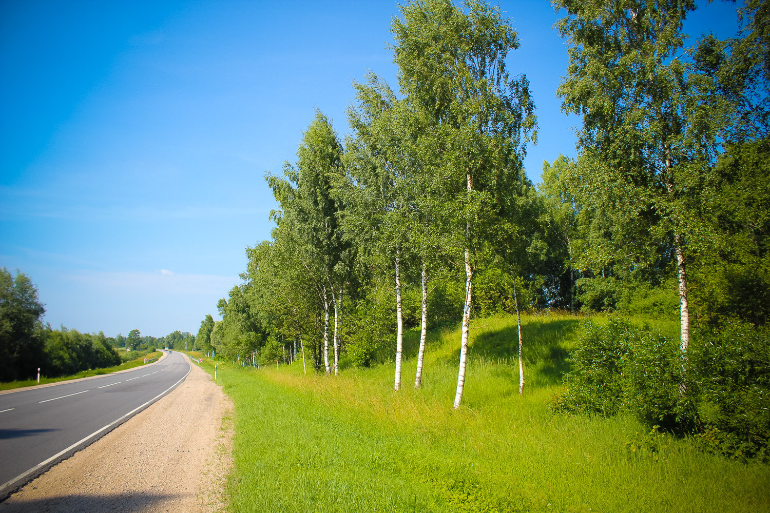
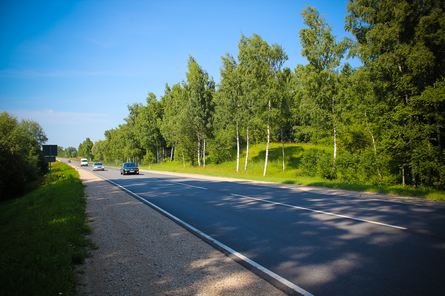
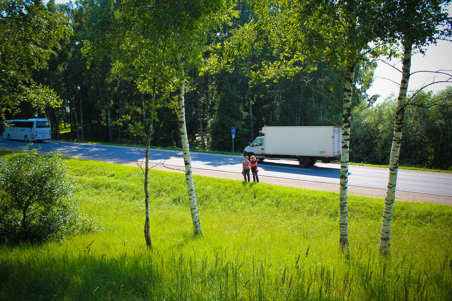
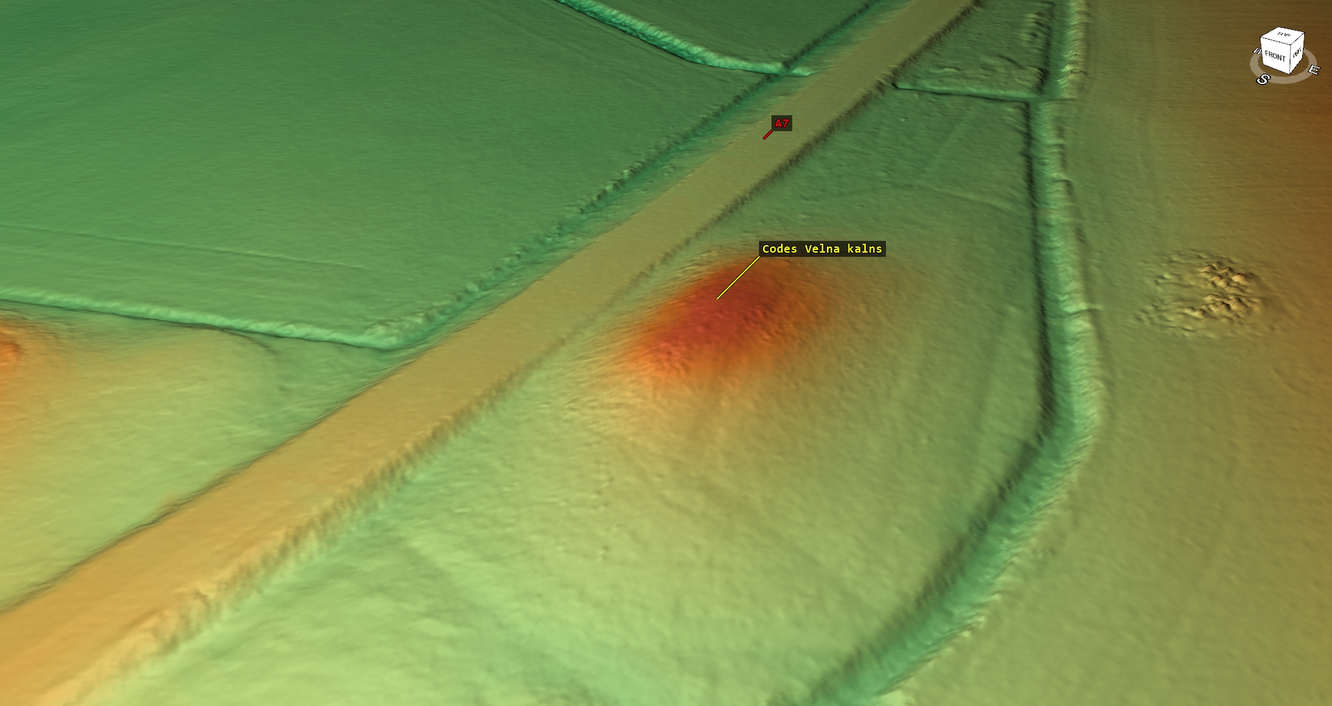
The hill is crossed by the Riga – Bauska road (Via Baltica). The top of the hill is on the east of the road.
Coordinates
lat=56.5169834601, lon=24.1734527144
56° 31′ 1″ N, 24° 10′ 24″ E
Description
The hill is slightly overgrown with trees and bushes, the slope facing the road is rather open. No occupation layer or finishing features.
Narrative
The hill is called the Devil’s Hill. Its shape was affected during the road construction works. It is said that traffic accidents happen at the hill, because the holy place was ruined.
Attraction
Minor.
Availability
Easy accessible.
Infrastructure, management, facilities
Well visible from the road. Nice view from top of the hill. No special tourism infrastructure.
Local info
No information.
Capacity
0 – 9
Publicity
Known
Legal Status
Private
Comments
Part of the hill is dug off. In was deemed a castle mound, but there is no evidence of that. On the other side of the road – Zagarkalni cemetery.