Location
State: Latvia
Region: Zemgale
County: Dobeles
Parish: Annenieku
Other references to the location
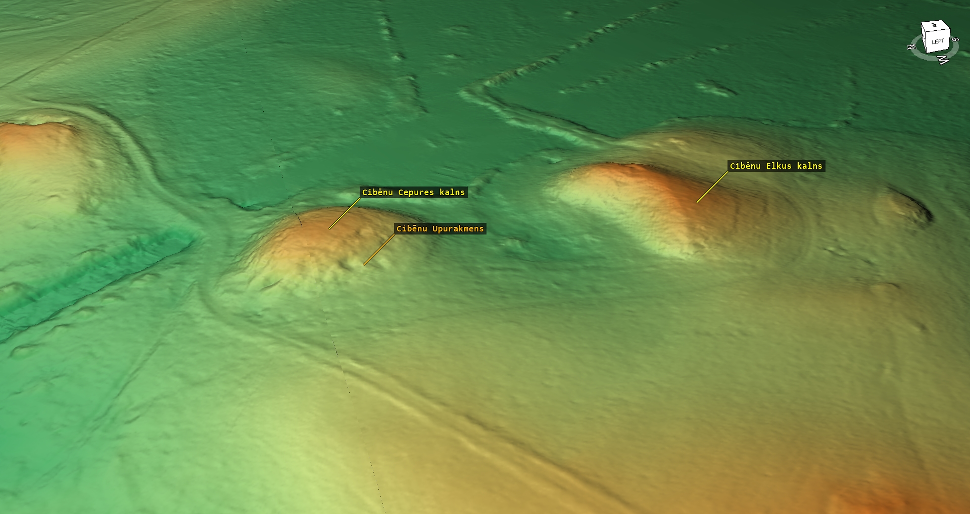
100 m direction S from Cibeni Cepure Hill, on the left bank of the River Balzina.
Coordinates
lat=56.6053666667, lon=23.03395
56° 36′ 19″ N, 23° 2′ 2″ E
Description
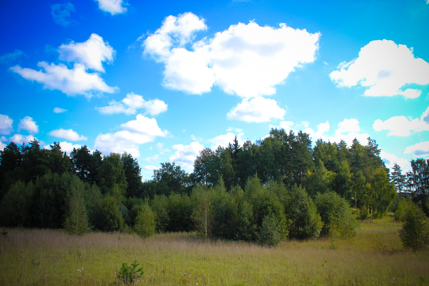
Up to 8 m high, roundish, loaf-type, hill, which has been much damaged – on the top of it there are trenches from the wartime, while on its southern slope – gravel pit.
Narrative
The hill is called Elkus Hill. Typical signs of earthworks of holy places, an occupation layer or a cult site item have not been found.
Attraction
Small.
Availability
Rather easy accessible.
Infrastructure, management, facilities
No tourism infrastructure in the direct vicinity. Nearest town – Jaunpils, where one shall find shops, accommodation and catering sites. Remarkable sightseeing sites – Jaunpils Castle, the Swedish Gate, Jaunpils Church and the watermill, Strutele Man
Local info
No information.
Capacity
0 – 9
Publicity
Known
Legal Status
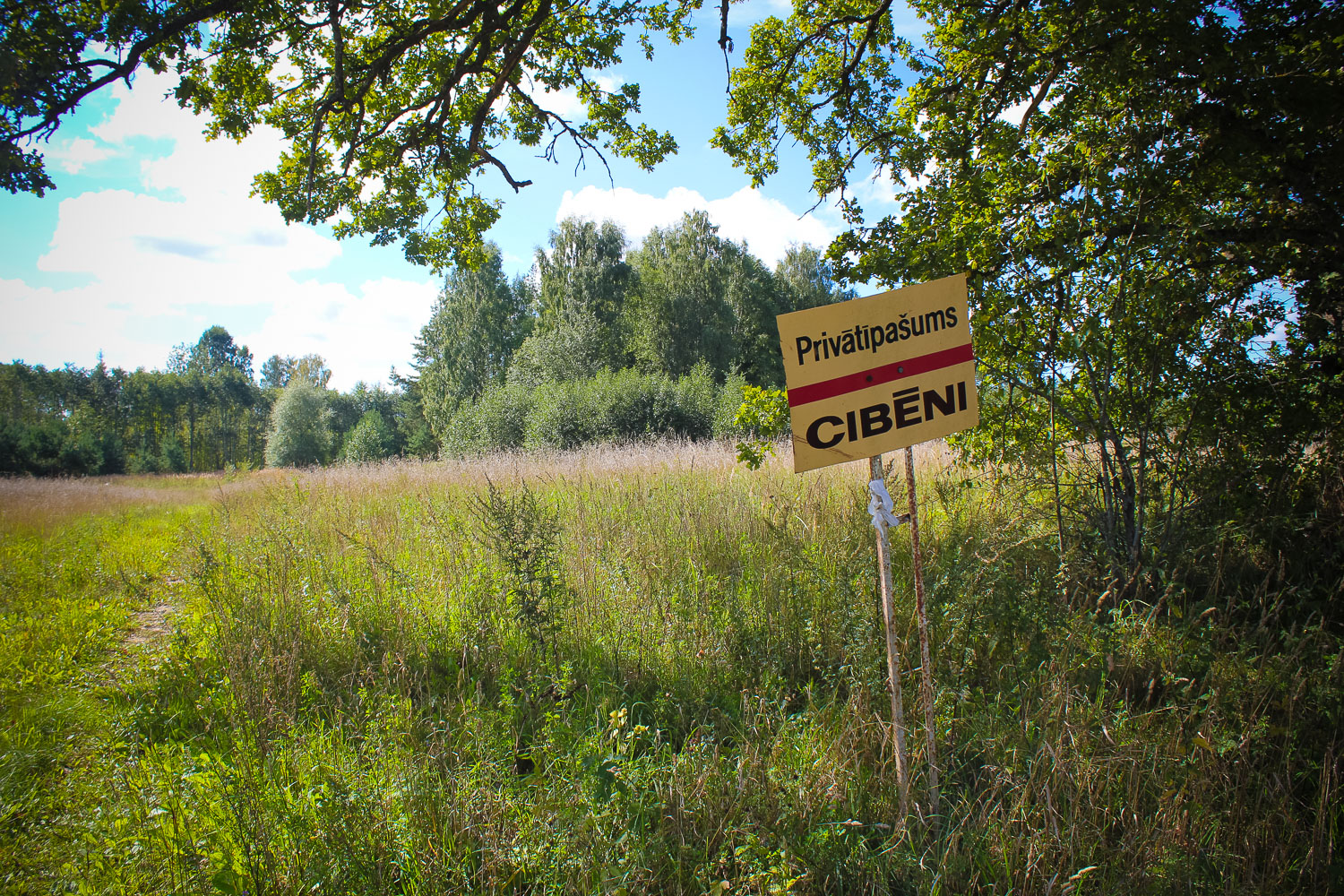
Private
Comments
In general nothing special; there are similar hills in the vicinity.