Location
State: Latvia
Region: Zemgale
County: Dobeles
Parish: Annenieku
Other references to the location
3 km direction SE from Lake Zebrus, 3,5 km direction NW by air from the Dobele – Ile road, 1,3 km direction SSE from Slagune cemetery, on the left bank of the River Balzina.
Coordinates
lat=56.6063, lon=23.0342166667
56° 36′ 22″ N, 23° 2′ 3″ E
Description
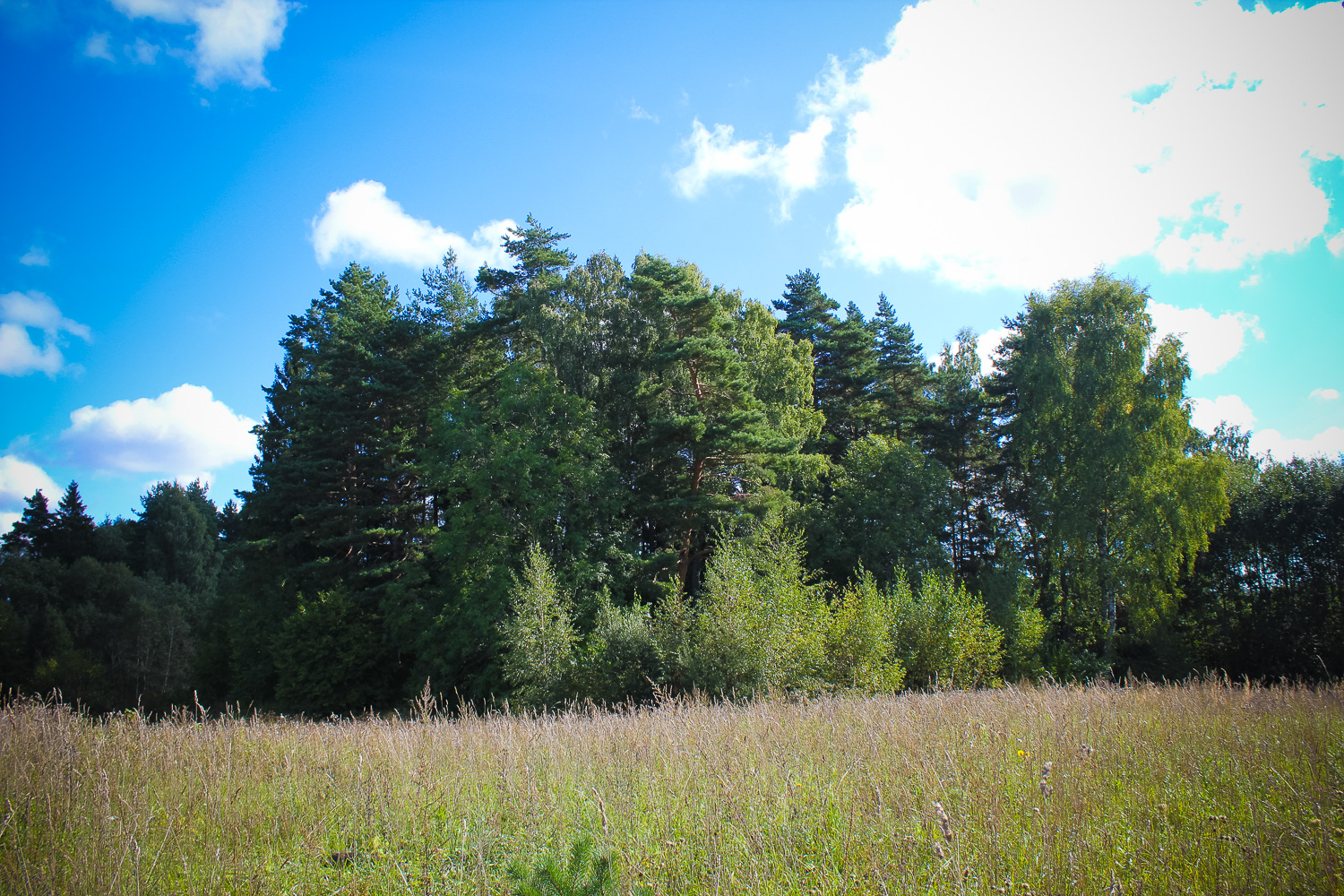
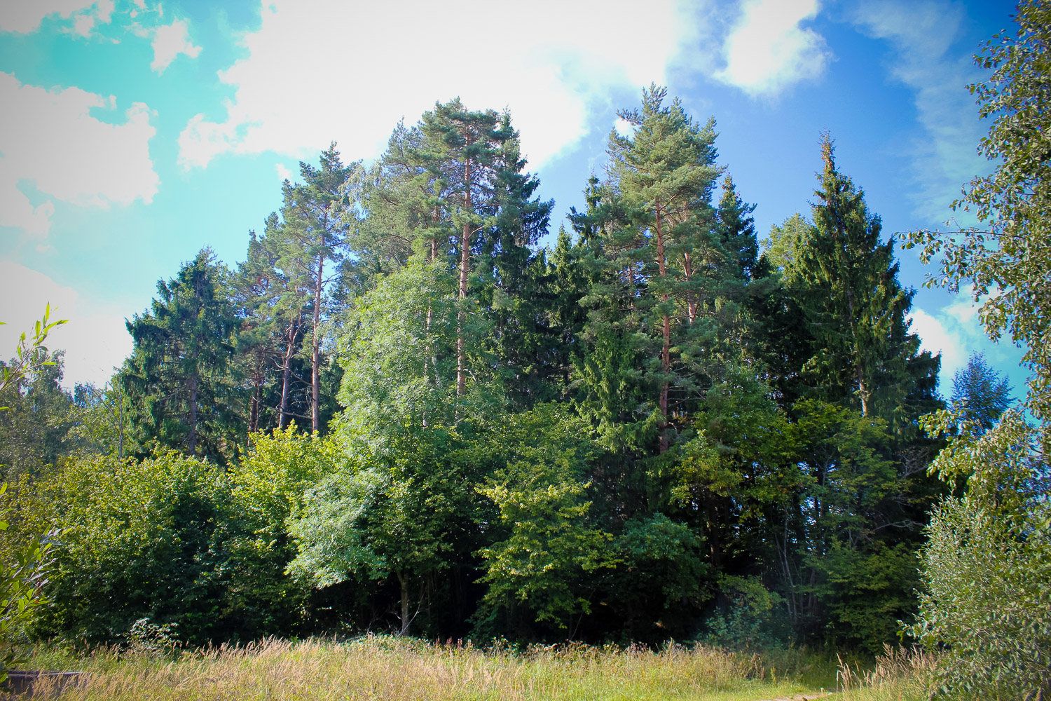
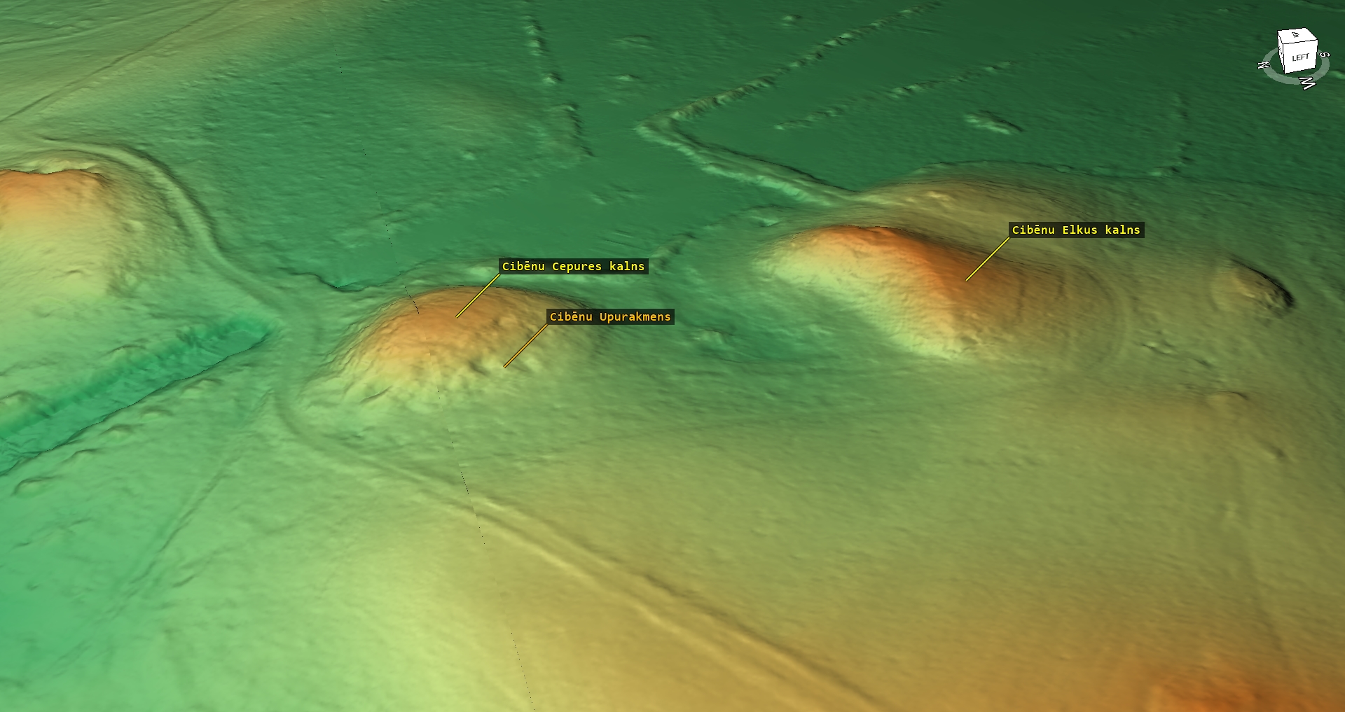
A loaf-type, up to 7 m high hillock, which may have had steepened slopes once. There are many gravel pits and wartime trenches on the plateau, which is 30 m in diameter. Although the Baltic German researchers in the 19th century deemed the hill a castle mound, there is no evidence of that. The occupation layer has not been found. According to legends the hill was made by carrying ground in the hats. On the NW slope of the hill a Sacrificial Stone is found.
Narrative
The hill could have been equipped for the purposes of a cult site, since it does not meet the criteria of a castle mound. According to legends it was created by locals, but actually it its shape is due to the course of the glacier, and there are many similar hills in the nearby vicinity. Not far from the Cepures Hill there is a small lake with a significant name – Kapenitis, which refers to the cemetery, which indeed is located nearby. Here are many ancient burial sites, which were studied by Baltic German researchers already in the 19the century, and recently it was described and studied by Juris Urtans.
Attraction
Low value by itself, but seen together with other sites in this area, it is interesting for professionals and hobby-history experts.
Availability
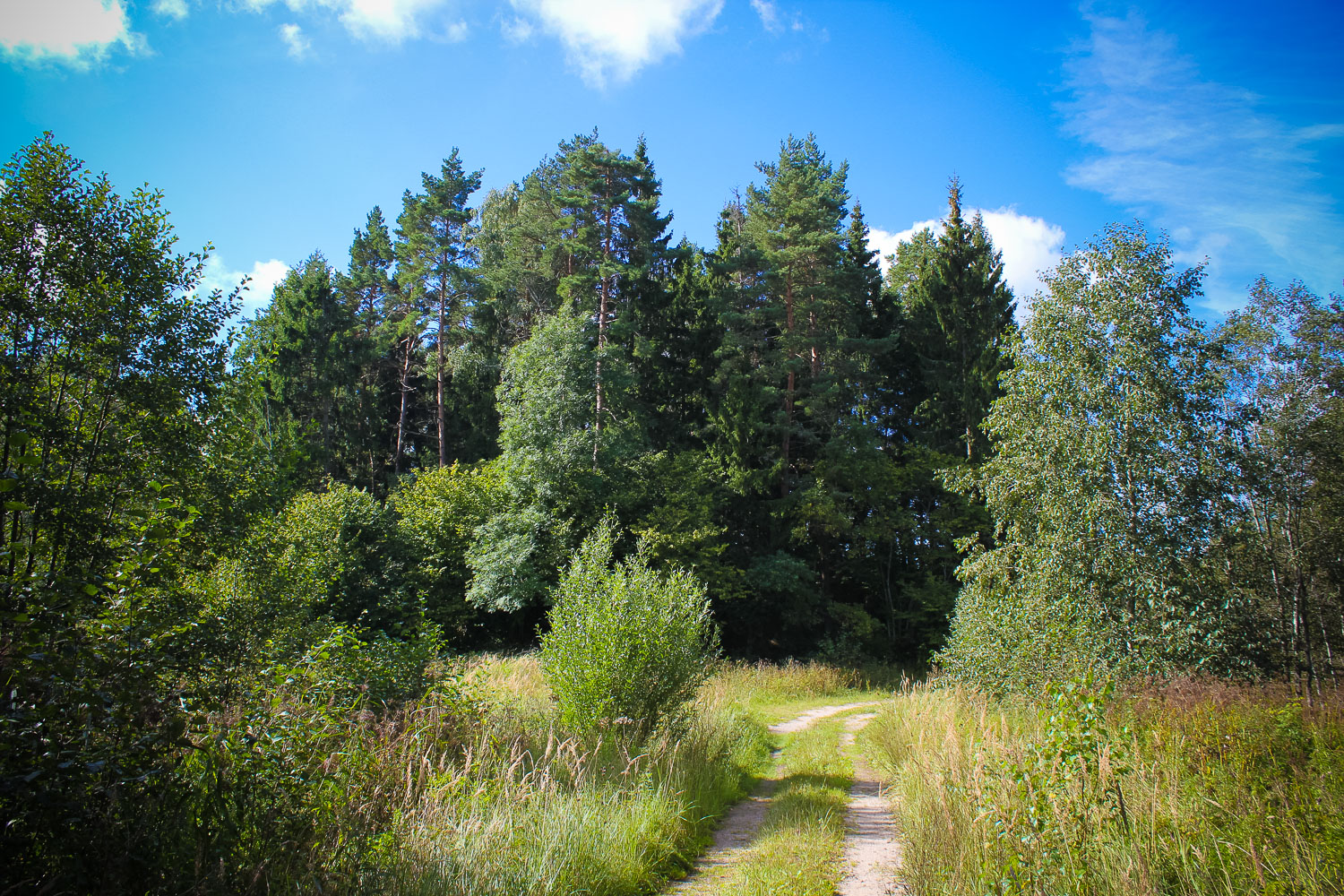
Rather easy accessible.
Infrastructure, management, facilities
No sign indicating the way to the hill, but at the foot of the hill there is a small note leading the way to the Sacrificial Stone. Nearest town – Jaunpils, where one shall find shops, accommodation and catering sites. Remarkable sightseeing sites –
Local info
No information.
Capacity
0 – 9
Publicity
Known
Legal Status
Private
Comments
In conjunction with the Sacrificial Stone.