Location
State: Latvia
Region: Zemgale
County: Vecumnieku
Parish: Vecumnieku
Other references to the location
4,5 km direction SE from the centre of Vecumnieki, 0,5 km direction E from the junction of the Vecumnieki – Skaistkalne and Vecumnieki – Nereta roads, on the left bank of the River Viksnina.
Coordinates
lat=56.5670835001, lon=24.5427370948
56° 34′ 1″ N, 24° 32′ 33″ E
Description
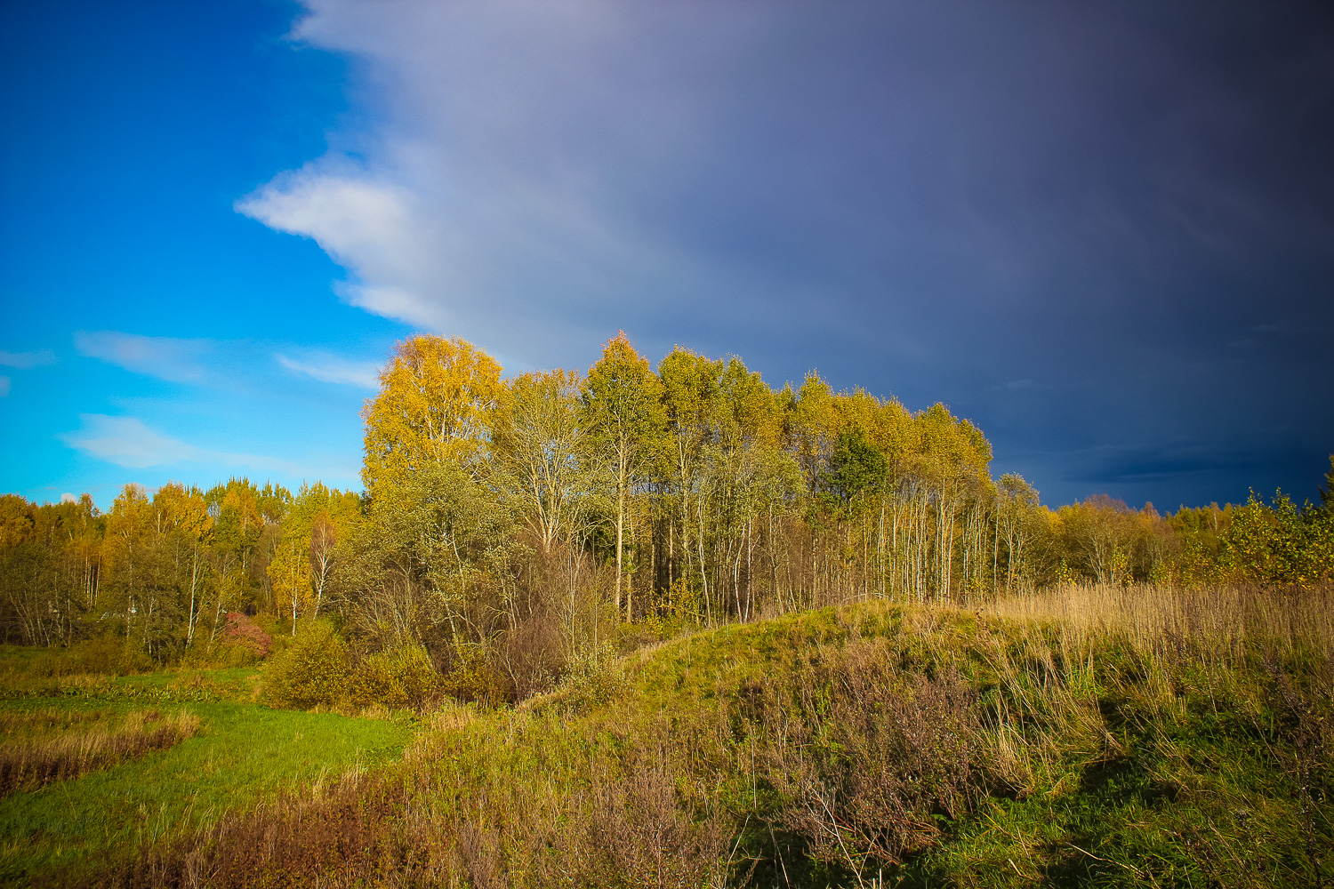
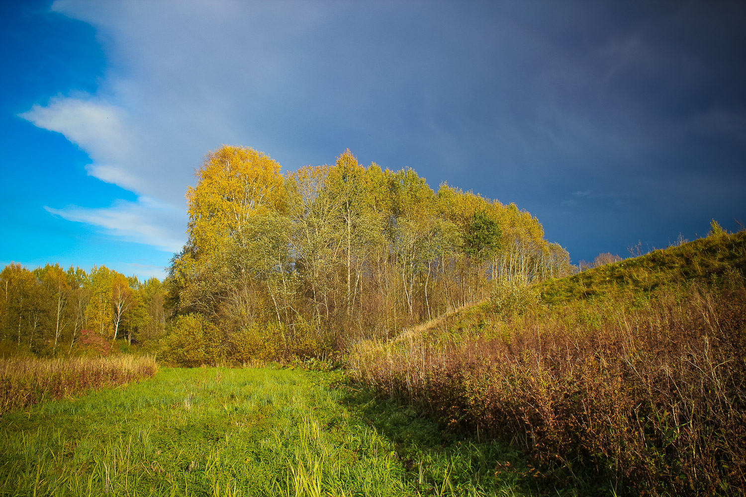
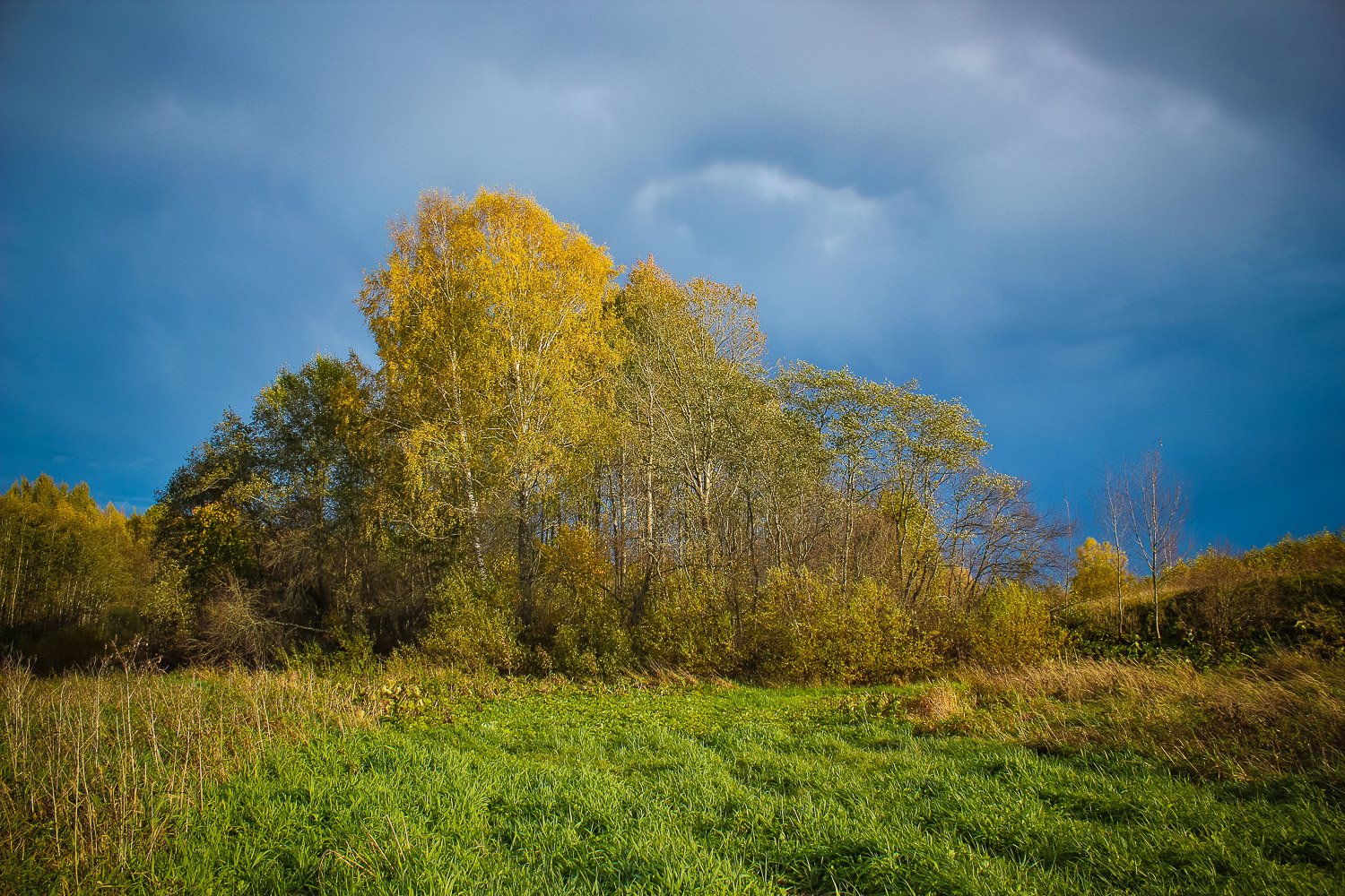
The hillock is approximately 30 x 40 m big. It lies on the left bank of the River Viksnina, and it is enclosed by a 2m deep ditch. The hillock is overgrown with deciduous trees. Next to the hillock, on the riverbed there is a stone called the Devil’s Stone, but due to the dam made by beavers it was not visited.
Narrative
It is said once a church had been located on the Catherine’s or also called – the Church Hill; the church had drowned. Locals know that there is an old – from medieval times – graveyard on the hill. Whereas another name for the River Viksnina is ‘Ellite’, which means ‘Little Hell’ in Latvian. Bothe – the river and the hill – are mentioned in many legends and stories. Probably, once the Vecmuiza (Vecumnieki) Church had been located here; the church has been referred to already in a document from 1567.
Attraction
Average.
Availability
Rather easy to access. Locals may show the way.
Infrastructure, management, facilities
No tourism infrastructure in direct vicinity. Nearest town – Vecumnieki, where there are accommodation and catering sites, shops, sightseeing objects (Museum of the actors Amtmani’ – “Zvanitaju Bukas”, Ausekli’ mill open-air museum, Rabbit town, wood
Local info
No information.
Capacity
0 – 9
Publicity
Known
Legal Status
Private
Comments
Knowing its exact location, Catherine’s Hill is well seen from the Vecumnieki – Skaistkalne road.