Location
State: Latvia
Region: Riga
County: Aloja
Parish: Staicele
Other references to the location
Between the Apšukalni homestead and the Staicele – Mazsalaca highway
Coordinates
lat=57.8822222222, lon=24.8330555556
57° 52′ 55″ N, 24° 49′ 59″ E
Description
About 150 – 200 m N of Vīķi – Mazsalaca highway, between the Graudiņi homestead and the Īģes Mill, there are about 80 m long and up to 10 m high sandstone cliffs. In the middle part of the cliffs, about 5-6 m above the river level, there is an 8 meters long sandstone cave formed by a spring. Although the cave is partially landslid, it is possible to crawl into it. The spring, which is forming the cave, flows out of it, winding along the cliff’s edge, twice disappearing beneath the landslid and finally joining the Īģe River. At both sides of the cave, there are cliffs with inscriptions on them (the oldest ones dated 1915). The cliffs, downwards the cave, form a peculiar pillar.
Narrative
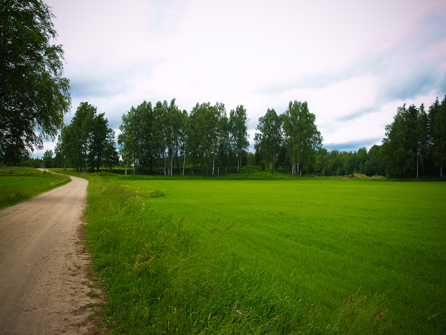
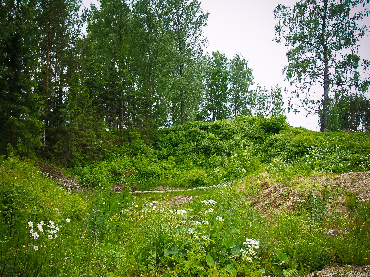
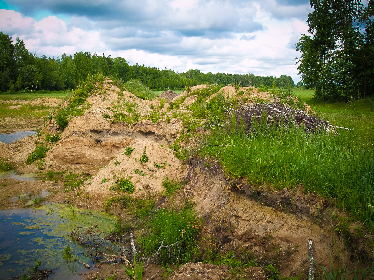
They say that there used to be a summer solstice celebration place at the Apšukalni homestead; the place being leveled down into the gravel during the contemporary times. The Apšukalni is a large homestead located on top of a wide and gently sloping hill. The hill stands out for several meters above the nearby surroundings. Its NWW edge had been dug off into the gravel in former times. Nowadays the gravel pits have been facilitated and transformed into a water storage. While talking to the old homestead’s proprietor, it was established that before the World War II there was indeed a small hill at the homestead, overgrown by pine-trees, with a fixed-up stage where there were open-air dance parties held and summer solstice celebrated. During the years after the war, the hill was partially leveled into the gravel. This place is located between the Apšukalni homestead and Staicele – Mazsalaca highway. From the highway side, the hill, now overgrown by birch trees and marked, stands out significantly; however, its central part against the Apšukalni homestead and wider surroundings have been dug off for the needs of the gravel-pit. The gravel-pit is still being used in E direction from the hill; the proprietor has intention to transform the gravel-pit into a water storage.
Attraction
Unattractive
Availability
At the road edge
Infrastructure, management, facilities
None
Local info
None
Capacity
0 – 9
Publicity
Unknown
Legal Status
Private
Comments
At the upper layer of the gravel-pit, when moved aside, there was a nonessential cultural layer established with split and burnt stones; however, there was no ceramics found.